Download
Preview
Add to list
More
8.9 km
~3 hrs 51 min
1250 m
Point-to-Point
“Embark on a moderately challenging hike through Olympic National Forest to breathtaking Marmot Pass.”
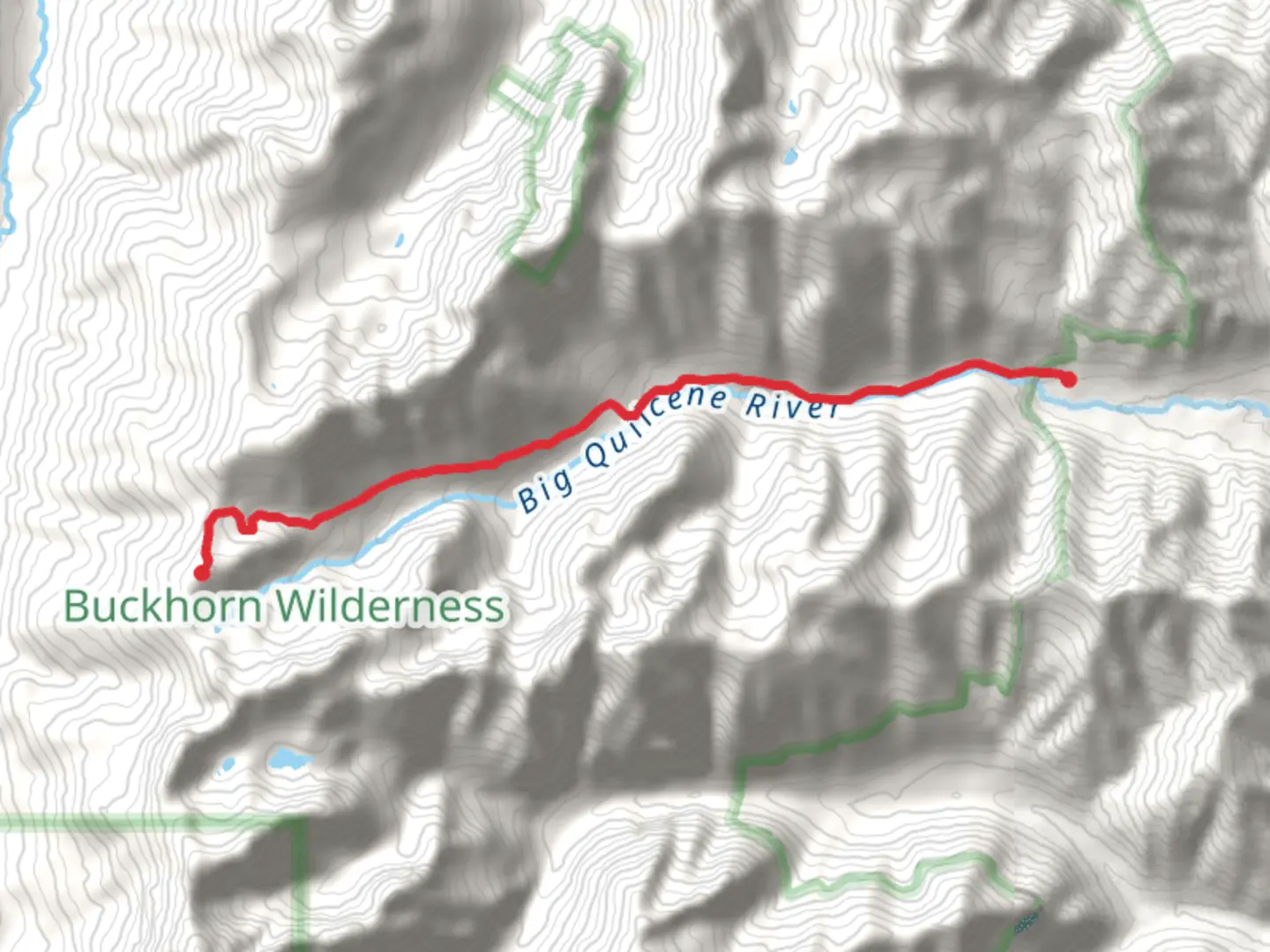
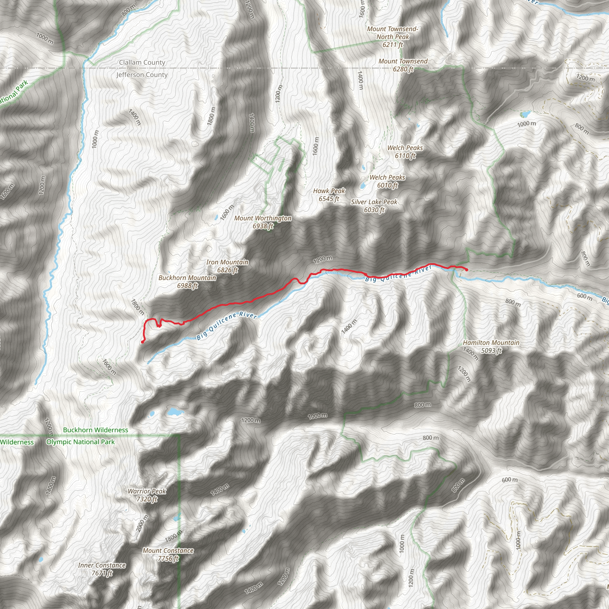
Starting your journey near Jefferson County, Washington, the Marmot Pass via Quilcene Trail offers a captivating adventure through the Olympic National Forest. This point-to-point trail stretches approximately 9 kilometers (around 5.6 miles) and features an elevation gain of about 1200 meters (approximately 3937 feet), making it a moderately challenging hike.### Getting There To reach the trailhead, you can drive or use public transportation. If driving, head towards the Quilcene Ranger Station, located at 295142 US-101, Quilcene, WA 98376. From there, follow the signs to the Upper Big Quilcene Trailhead. For those relying on public transport, the nearest major city is Seattle. You can take a ferry from Seattle to Bainbridge Island, then drive or take a bus to Quilcene.### Trail Overview The trail begins at the Upper Big Quilcene Trailhead, nestled in a lush forest setting. The initial section of the trail is relatively gentle, allowing you to acclimate to the surroundings. As you progress, the trail becomes steeper, with switchbacks that offer glimpses of the Quilcene River below.### Flora and Fauna The trail is rich in biodiversity. You'll encounter towering Douglas firs, western hemlocks, and red cedars. In the spring and summer months, the trail is adorned with wildflowers such as lupines, paintbrushes, and columbines. Keep an eye out for wildlife, including black-tailed deer, marmots, and various bird species like the Steller's jay and the northern spotted owl.### Significant Landmarks At around 3 kilometers (1.9 miles) in, you'll reach Shelter Rock, a large boulder that serves as a popular resting spot. This is a great place to take a break and enjoy the serene environment. Continuing on, the trail crosses several small streams, which are perfect for refilling your water bottles if you have a filtration system.### Elevation Gain As you approach the 6-kilometer (3.7-mile) mark, the trail becomes more strenuous. The elevation gain is more pronounced here, with steep inclines that will test your endurance. However, the effort is well worth it as you near Marmot Pass.### Marmot Pass Upon reaching Marmot Pass, situated at an elevation of approximately 1830 meters (6000 feet), you'll be rewarded with panoramic views of the Olympic Mountains, including Mount Constance and Buckhorn Mountain. On clear days, you can even see the Puget Sound and the Cascades in the distance. This is an ideal spot for a picnic and some well-deserved rest.### Historical Significance The Olympic National Forest has a rich history, with the Quilcene area being home to the Quilcene people, a Coast Salish tribe. The forest was also a significant logging area in the early 20th century, and remnants of old logging roads can still be seen along the trail.### Navigation and Safety Given the trail's moderate difficulty, it's advisable to use a reliable navigation tool like HiiKER to keep track of your progress and ensure you stay on the right path. The trail is well-marked, but weather conditions can change rapidly, so be prepared for sudden rain or fog.### Final Stretch The descent from Marmot Pass is much easier, retracing your steps back to the trailhead. Make sure to leave no trace and pack out all your trash to preserve the natural beauty of the area.This trail offers a perfect blend of natural beauty, moderate challenge, and historical significance, making it a must-do for any hiking enthusiast.
What to expect?
Activity types
Comments and Reviews
User comments, reviews and discussions about the Marmot Pass via Quilcene Trail, Washington.
4.67
average rating out of 5
21 rating(s)
