Download
Preview
Add to list
More
20.6 km
~1 day 1 hrs
1589 m
Out and Back
“Embark on a challenging 21-km hike from Dosewallips Campground to stunning Lake Constance, rich in history and wildlife.”
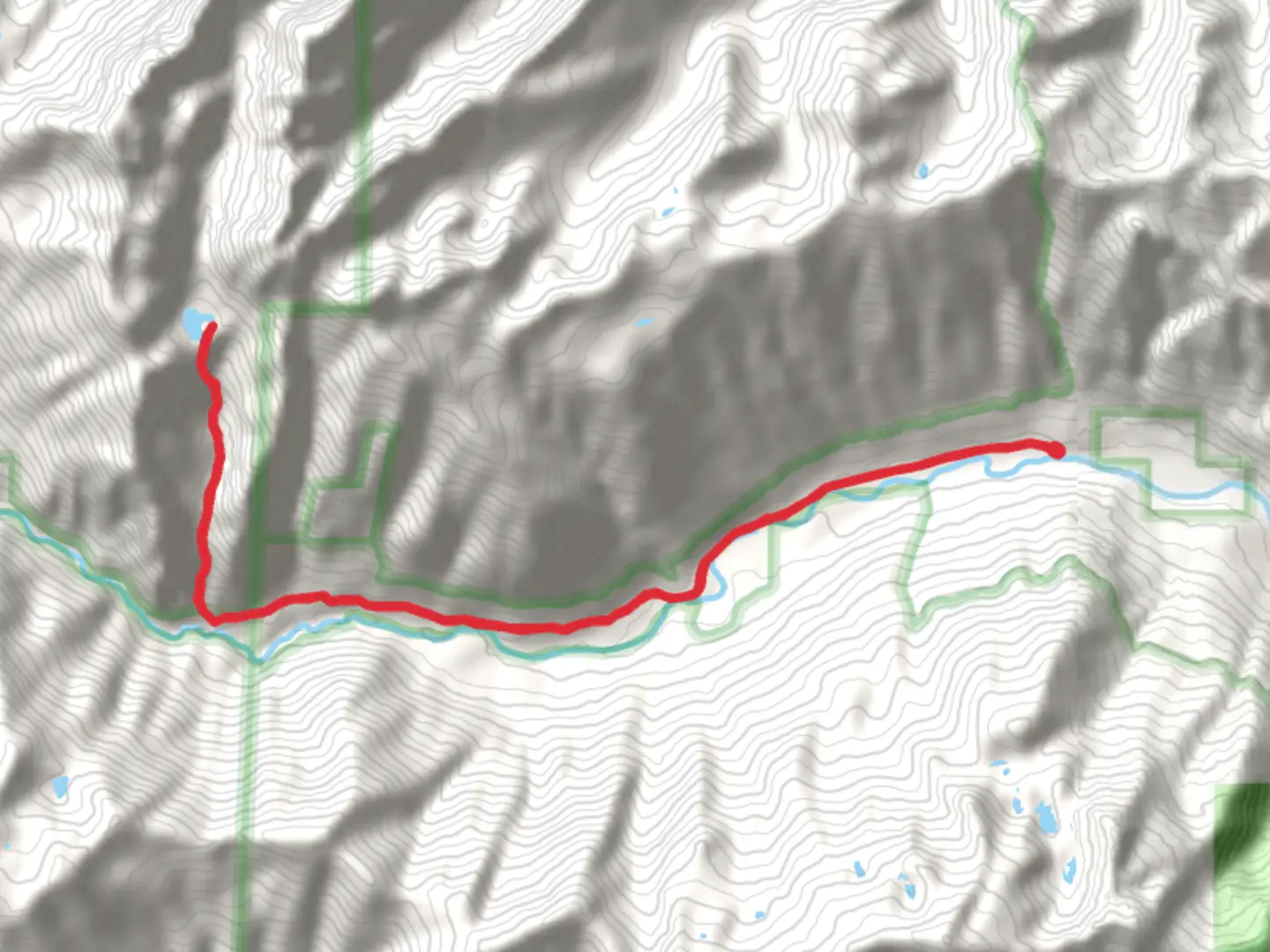
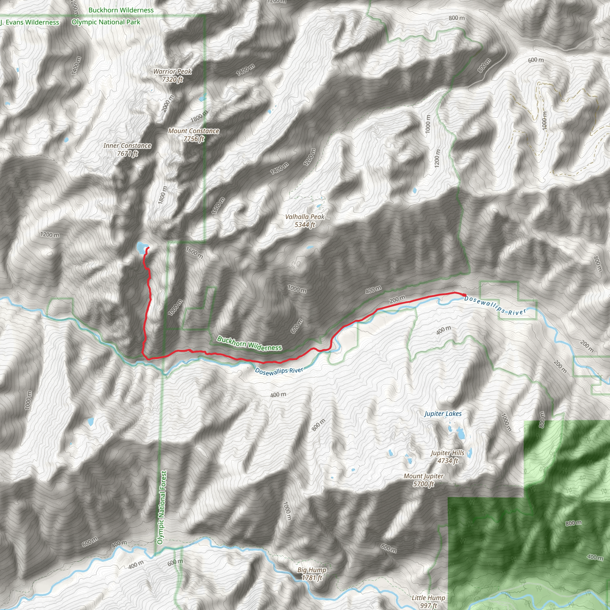
Starting your journey near Jefferson County, Washington, the trailhead for this adventure is accessible via Dosewallips Road. If you're driving, you can park at the Dosewallips Campground, which is the nearest significant landmark. For those relying on public transport, the closest bus stop is in Brinnon, WA, from where you might need to arrange a taxi or rideshare to reach the campground.
Trail Overview
The Lake Constance via Dosewallips Road trail spans approximately 21 kilometers (13 miles) round trip, with an elevation gain of around 1500 meters (4921 feet). This out-and-back trail is rated as medium difficulty, making it suitable for moderately experienced hikers.
Initial Ascent
Starting from the Dosewallips Campground, the first section of the trail follows an old roadbed for about 8 kilometers (5 miles) with a gentle incline. This part of the trail is relatively easy and offers a good warm-up before the more strenuous sections. Along this stretch, you'll pass through lush forests of Douglas fir and western hemlock, with occasional glimpses of the Dosewallips River.
Steeper Climb
After the initial 8 kilometers (5 miles), the trail becomes significantly steeper as you begin the ascent towards Lake Constance. This section is approximately 3 kilometers (1.9 miles) long and involves a challenging climb with switchbacks and rocky terrain. Hikers should be prepared for a strenuous workout and ensure they have proper footwear and trekking poles for stability.
Lake Constance
Upon reaching Lake Constance, you'll be rewarded with stunning views of the pristine alpine lake surrounded by rugged peaks. The lake sits at an elevation of about 1463 meters (4800 feet). This is an excellent spot for a rest, picnic, or even a refreshing dip in the cold, clear waters. The area around the lake is also a great place to spot wildlife, including marmots, mountain goats, and various bird species.
Flora and Fauna
Throughout the hike, you'll encounter a diverse range of flora and fauna. The lower elevations are dominated by dense forests, while higher up, you'll find alpine meadows filled with wildflowers during the summer months. Keep an eye out for black bears and deer, which are commonly seen in this region.
Historical Significance
The Dosewallips area has a rich history, with evidence of Native American use dating back thousands of years. The trail itself was originally used by the Klallam and Twana tribes for hunting and gathering. In the early 20th century, the area saw increased activity from loggers and miners, remnants of which can still be seen along the trail.
Navigation and Safety
Given the challenging nature of the trail, it's crucial to have a reliable navigation tool. HiiKER is highly recommended for its detailed maps and real-time tracking features. Ensure you have downloaded the trail map before setting out, as cell service can be spotty in this remote area.
Preparation Tips
- Bring plenty of water and snacks, as there are no facilities along the trail. - Dress in layers, as weather conditions can change rapidly, especially at higher elevations. - Start early to allow ample time for the hike and to avoid descending in the dark. - Inform someone of your hiking plans and expected return time.
This trail offers a rewarding experience for those willing to tackle its challenges, with breathtaking scenery and a sense of solitude that is hard to find elsewhere.
What to expect?
Activity types
Comments and Reviews
User comments, reviews and discussions about the Lake Constance via Dosewallips Road, Washington.
4.8
average rating out of 5
10 rating(s)
