Download
Preview
Add to list
More
8.7 km
~2 hrs 15 min
316 m
Out and Back
“Explore lush forests, historic WWII sites, and stunning Puget Sound vistas on this moderate 9 km hike.”
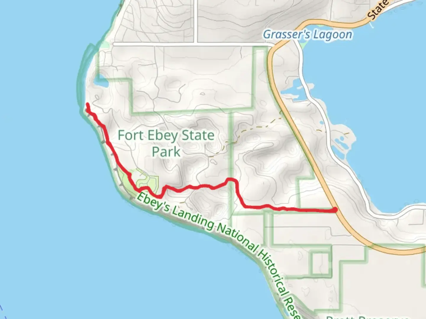
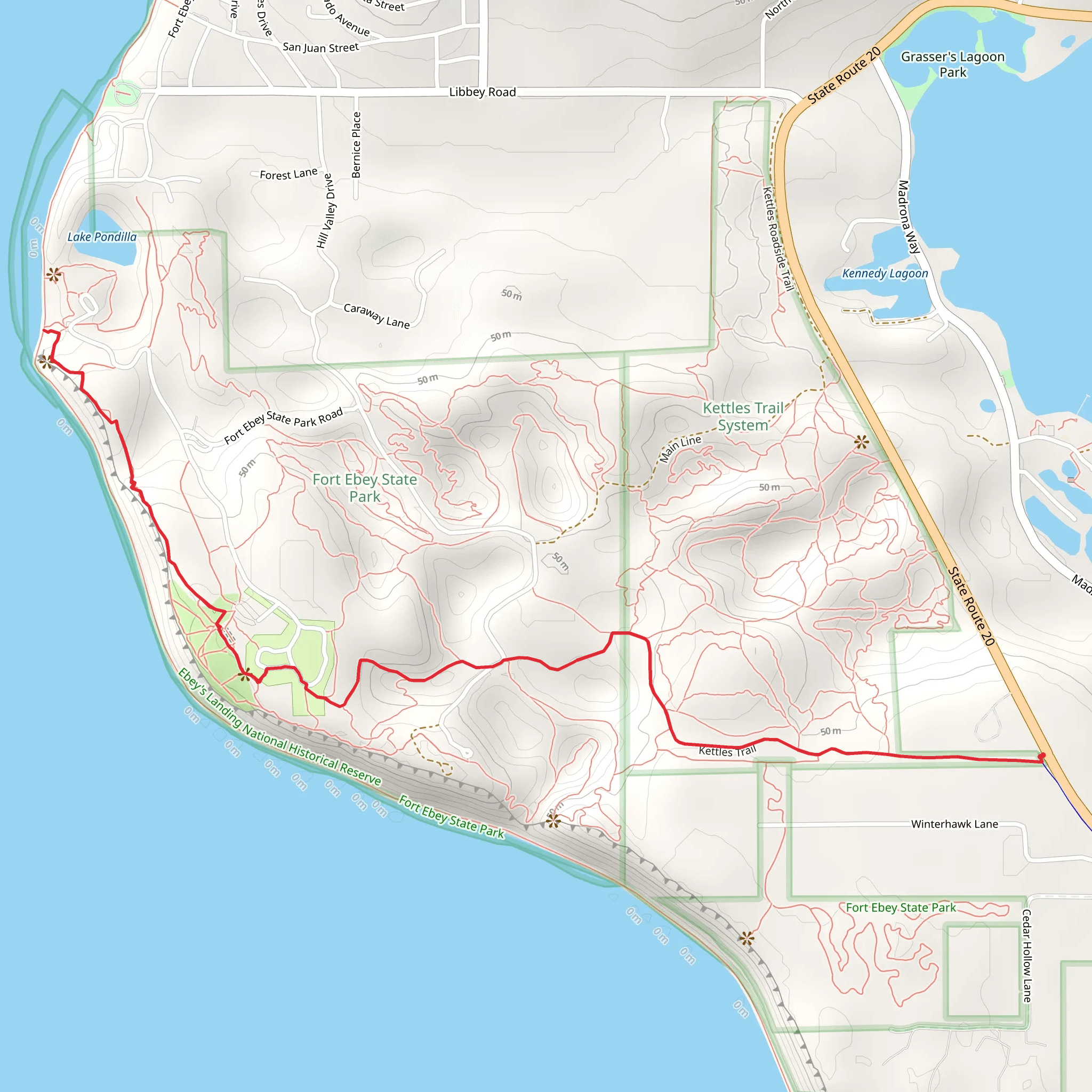
Starting your adventure near Island County, Washington, the Kettles Trail and Fort Ebey State Park offer a captivating 9 km (5.6 miles) out-and-back hike with an elevation gain of approximately 300 meters (984 feet). This trail is rated medium in difficulty, making it suitable for moderately experienced hikers.
Getting There To reach the trailhead, you can drive or use public transport. If driving, head towards Fort Ebey State Park, located at 400 Hill Valley Drive, Coupeville, WA 98239. For those using public transport, the nearest major transit hub is in Coupeville, from where you can take a local taxi or rideshare service to the park.
Trail Overview The trail begins near the parking area at Fort Ebey State Park. As you start, you'll immediately notice the lush greenery and the well-maintained path. The first kilometer (0.6 miles) is relatively flat, allowing you to ease into the hike while enjoying the dense forest surroundings.
Historical Significance Fort Ebey State Park is steeped in history. Established during World War II, Fort Ebey was part of the coastal defense system. As you hike, you'll come across remnants of the old military installations, including bunkers and gun emplacements. These historical landmarks are not only fascinating but also offer a glimpse into the region's past.
Nature and Wildlife Around the 2 km (1.2 miles) mark, the trail begins to ascend, offering more challenging terrain. Keep an eye out for the diverse wildlife that inhabits the area. Deer, rabbits, and a variety of bird species are commonly spotted. The trail is also lined with native plants, including ferns, mosses, and towering Douglas firs.
Scenic Views At approximately 4 km (2.5 miles), you'll reach a high point with stunning views of the Puget Sound and the Olympic Mountains. This is a great spot to take a break, hydrate, and snap some photos. The elevation gain here is about 200 meters (656 feet), so be prepared for a bit of a climb.
Navigation For navigation, it's highly recommended to use the HiiKER app, which provides detailed maps and real-time updates. The trail is well-marked, but having a reliable navigation tool can enhance your hiking experience and ensure you stay on track.
Return Journey The return journey follows the same path, allowing you to revisit some of the scenic spots and historical landmarks you encountered on the way up. The descent is easier on the legs, but still requires caution, especially in wet conditions.
Final Stretch As you approach the final kilometer (0.6 miles), the trail flattens out again, leading you back through the serene forest to the trailhead. This section is a great opportunity to cool down and reflect on the diverse landscapes and historical sites you've explored.
This hike offers a perfect blend of natural beauty, historical intrigue, and moderate physical challenge, making it a rewarding experience for any outdoor enthusiast.
What to expect?
Activity types
Comments and Reviews
User comments, reviews and discussions about the Kettles Trail and Fort Ebey State Park, Washington.
4.33
average rating out of 5
3 rating(s)
