Download
Preview
Add to list
More
3.5 km
~1 hrs 13 min
314 m
Loop
“The Goose Rock Summit Trail, a 4 km loop with stunning views and moderate difficulty, is a Pacific Northwest gem.”
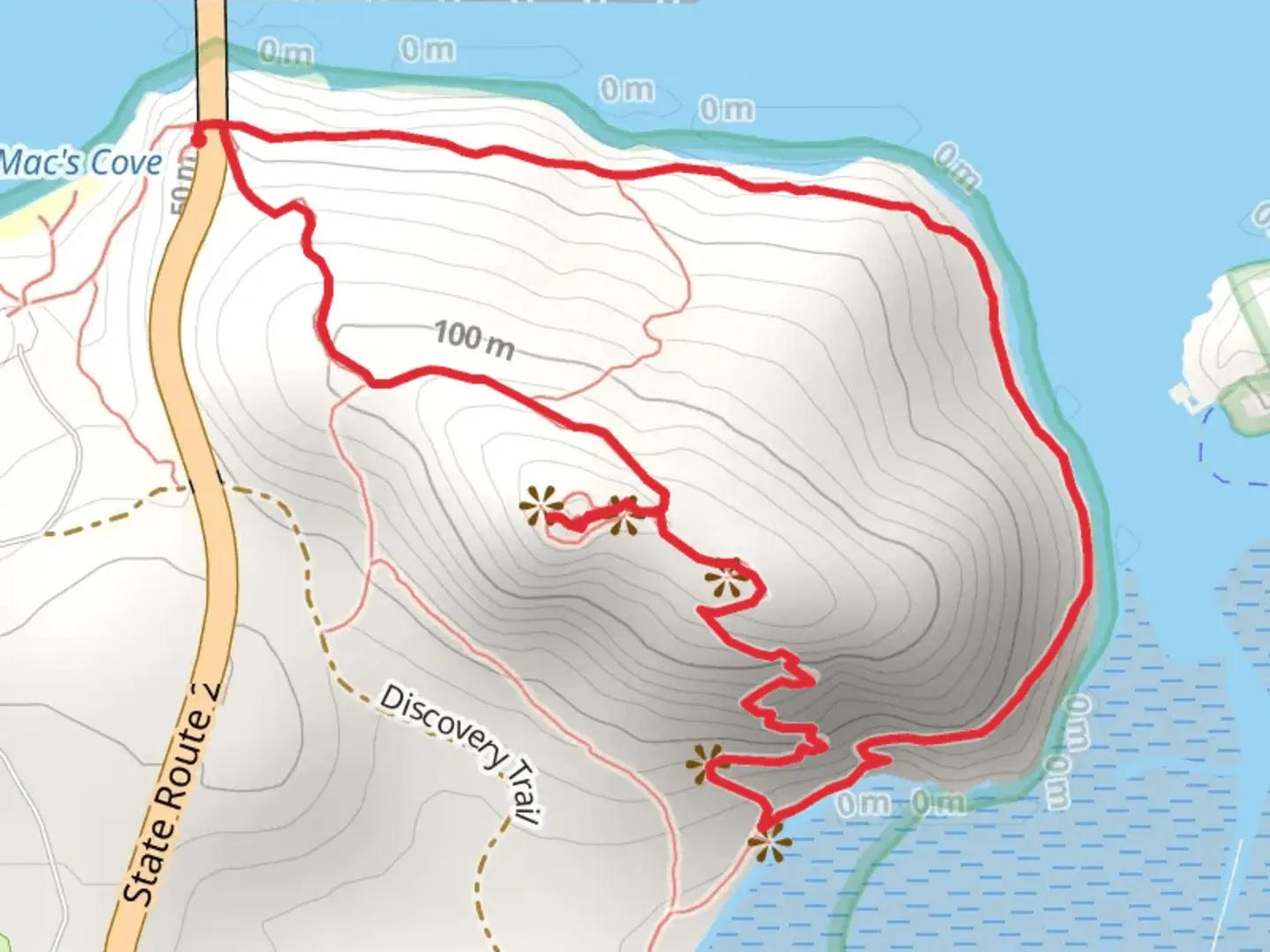
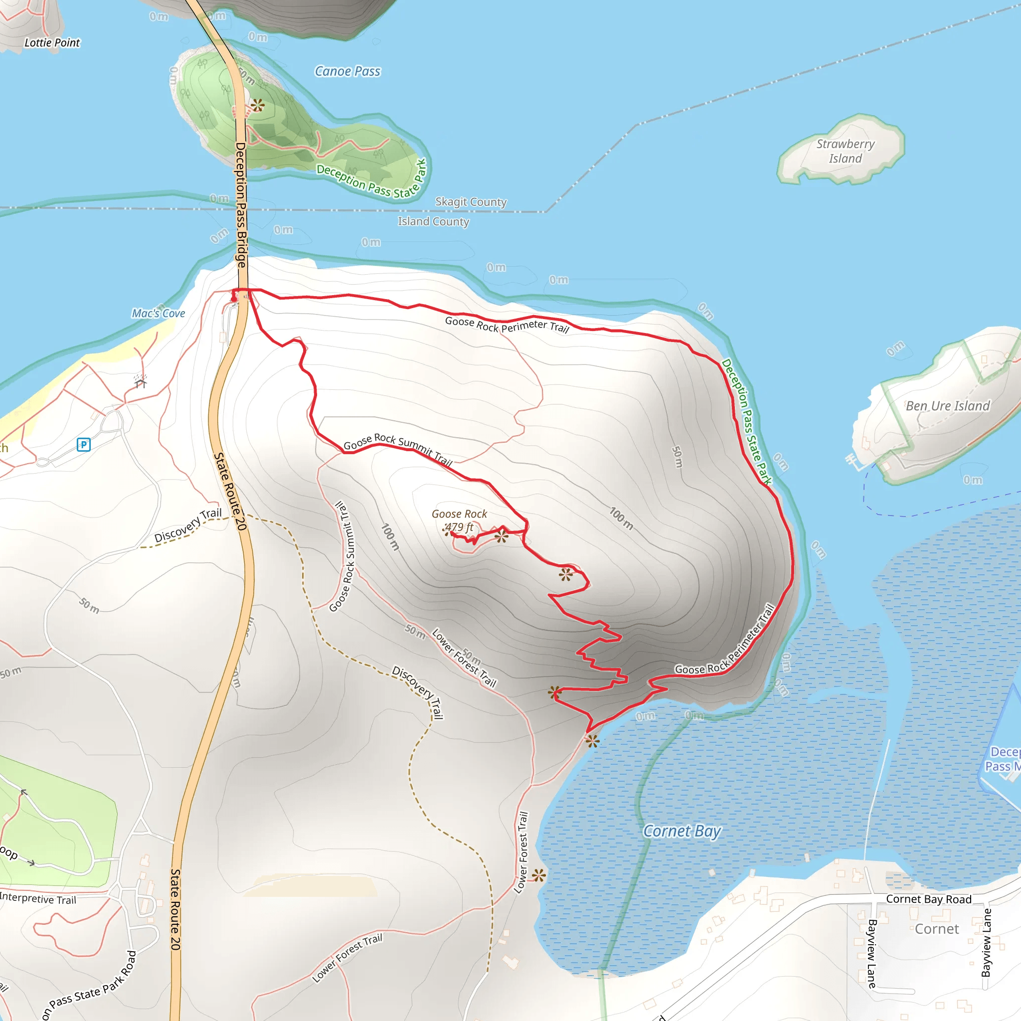
Starting near Island County, Washington, the Goose Rock Summit Trail is a captivating loop trail that spans approximately 4 kilometers (2.5 miles) with an elevation gain of around 300 meters (984 feet). This trail is rated as medium difficulty, making it accessible for most hikers with a moderate level of fitness.
Getting There To reach the trailhead, you can drive or use public transportation. If driving, head towards Deception Pass State Park, which is a well-known landmark in the area. The nearest address for GPS navigation is 41020 State Route 20, Oak Harbor, WA 98277. For those using public transport, you can take a bus to Oak Harbor and then a taxi or rideshare service to the park.
Trail Overview The trail begins near the parking area at Deception Pass State Park. As you start your hike, you'll be greeted by lush forest surroundings, with towering Douglas firs and western red cedars providing ample shade. The initial part of the trail is relatively flat, allowing you to ease into the hike.
Significant Landmarks and Nature About 1 kilometer (0.6 miles) into the hike, you'll come across a fork in the trail. Take the path leading to the left to continue towards Goose Rock Summit. As you ascend, the trail becomes steeper, and you'll notice the terrain changing from dense forest to more open areas with rocky outcrops. Keep an eye out for native wildlife such as black-tailed deer, bald eagles, and various songbirds.
Historical Significance The region around Deception Pass has a rich history. The pass itself was named by Captain George Vancouver in 1792, who felt deceived by the narrow waterway that appeared to be a bay. The area was also significant during World War II, serving as a strategic military location. Remnants of this history can be seen in the form of old bunkers and observation posts scattered throughout the park.
Reaching the Summit Approximately 2 kilometers (1.2 miles) into the hike, you'll reach the summit of Goose Rock. At an elevation of 484 feet (147 meters), this is the highest point on Whidbey Island. The summit offers panoramic views of Deception Pass, the surrounding islands, and the Olympic Mountains in the distance. This is a perfect spot to take a break, enjoy a snack, and soak in the breathtaking scenery.
Descent and Return The descent from the summit is less steep but still requires careful footing, especially in wet conditions. The trail loops back towards the starting point, passing through more forested areas and offering occasional glimpses of the water below. The entire loop takes around 2 to 3 hours to complete, depending on your pace and how long you spend at the summit.
Navigation and Safety For navigation, it's highly recommended to use the HiiKER app, which provides detailed maps and real-time updates. Make sure to wear sturdy hiking boots, bring plenty of water, and check the weather forecast before heading out. The trail can be slippery after rain, so extra caution is advised.
This trail offers a perfect blend of natural beauty, historical intrigue, and moderate physical challenge, making it a must-visit for hikers in the Pacific Northwest.
What to expect?
Activity types
Comments and Reviews
User comments, reviews and discussions about the Goose Rock Summit Trail, Washington.
4.38
average rating out of 5
13 rating(s)
