Download
Preview
Add to list
More
3.1 km
~44 min
77 m
Loop
“The Sediment Dam View Loop is a scenic, accessible trail offering rich wildlife and historical insights near Cowlitz County.”
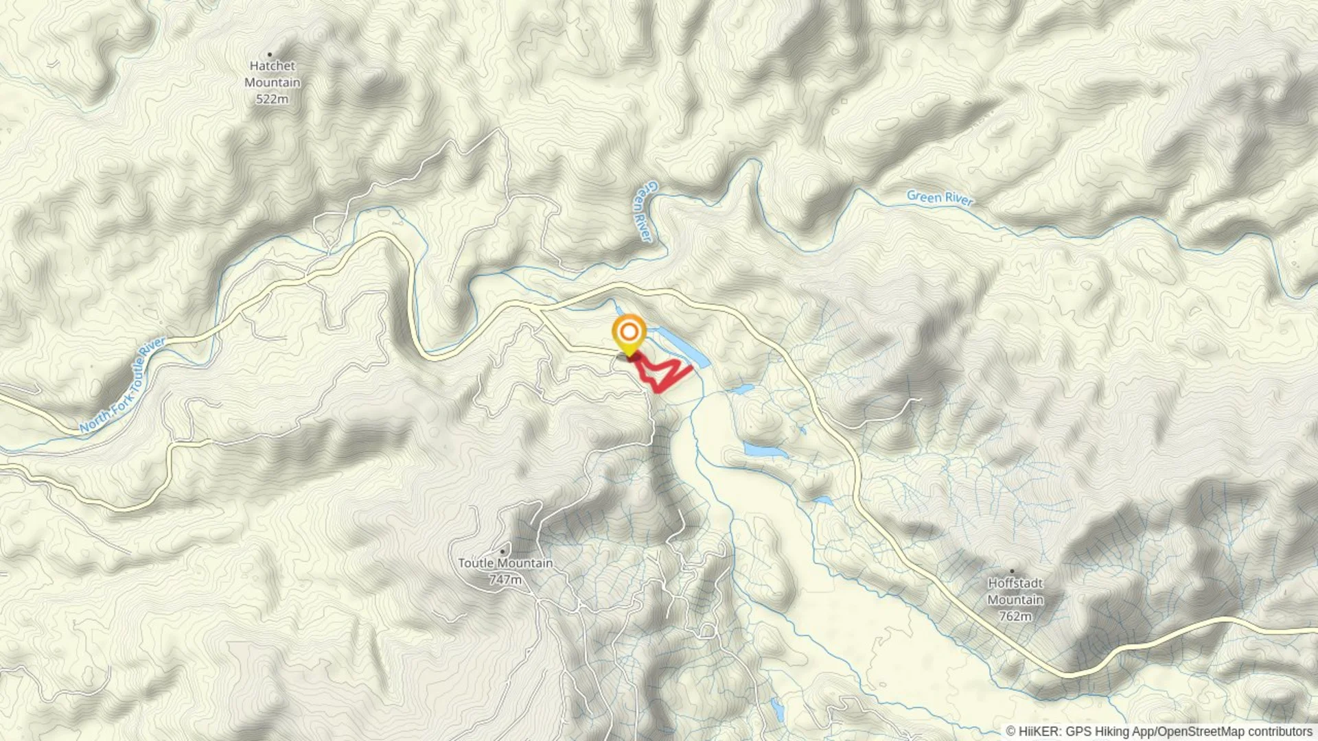
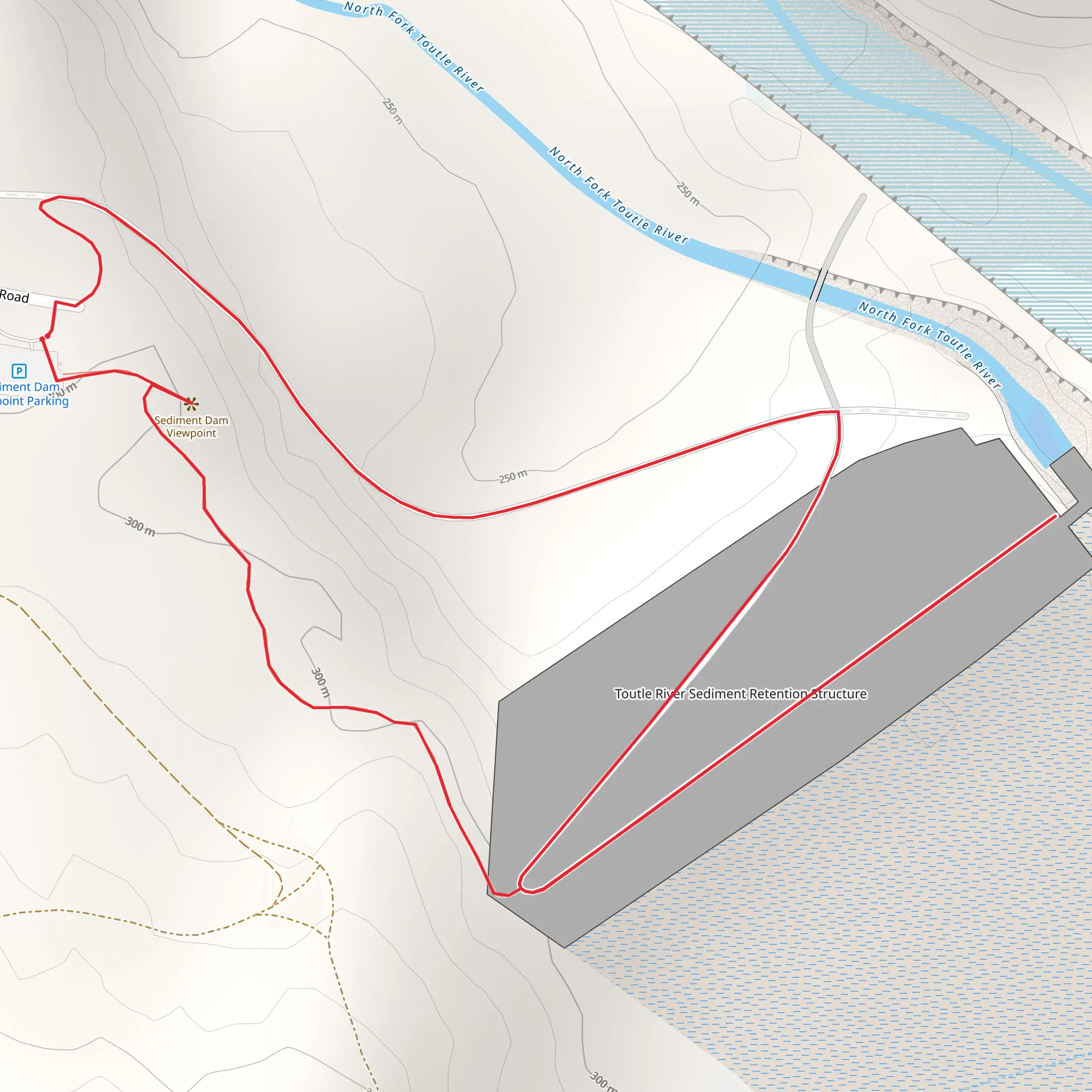
Starting near Cowlitz County, Washington, the Sediment Dam View Loop is a scenic 3 km (approximately 1.86 miles) trail with no significant elevation gain, making it accessible for a wide range of hikers. The trailhead is conveniently located near the Cowlitz River, which can be reached by car or public transport. If driving, you can park near the Cowlitz River Bridge on State Route 504. For those using public transport, the nearest bus stop is at Castle Rock, from where you can take a short taxi ride to the trailhead.### Trail Navigation and TerrainThe Sediment Dam View Loop is a well-marked loop trail, and it's advisable to use the HiiKER app for real-time navigation and updates. The trail is relatively flat, with an elevation gain of around 0 meters, making it a comfortable hike for most people. The path is a mix of dirt and gravel, so sturdy hiking shoes are recommended.### Key Landmarks and Points of Interest#### Sediment Dam One of the main highlights of this trail is the Sediment Dam itself, located approximately 1.5 km (0.93 miles) into the hike. The dam is an impressive structure designed to manage sediment flow from the nearby Mount St. Helens. It offers a unique opportunity to learn about the region's geological history and the impact of volcanic activity on the landscape.#### Cowlitz River As you loop around, you'll follow the Cowlitz River for a significant portion of the trail. The river is home to a variety of wildlife, including salmon and trout, making it a popular spot for fishing. Keep an eye out for bald eagles and ospreys, which are often seen soaring above the river.### Flora and FaunaThe trail meanders through a lush forested area, rich with Douglas fir, western red cedar, and bigleaf maple trees. During spring and summer, the underbrush is adorned with wildflowers like trillium and lupine. The forest is also home to deer, raccoons, and occasionally black bears, so it's wise to carry bear spray and make noise to avoid surprising any wildlife.### Historical SignificanceThe region around the Sediment Dam View Loop holds significant historical importance due to its proximity to Mount St. Helens. The 1980 eruption dramatically altered the landscape, and the sediment dam was constructed as part of the efforts to manage the aftermath. The trail offers interpretive signs that provide insights into the eruption's impact and the ongoing efforts to restore and preserve the area.### Getting ThereTo reach the trailhead by car, take Interstate 5 to Exit 49 for State Route 504 East towards Mount St. Helens. Follow SR 504 for about 10 miles (16 km) until you reach the parking area near the Cowlitz River Bridge. For those using public transport, take a bus to Castle Rock and then a taxi to the trailhead.### Preparation Tips- Footwear: Sturdy hiking shoes are recommended due to the mixed terrain. - Navigation: Use the HiiKER app for real-time trail navigation. - Wildlife: Carry bear spray and make noise to avoid surprising wildlife. - Weather: Check the weather forecast before heading out, as conditions can change rapidly.This trail offers a blend of natural beauty, wildlife, and historical significance, making it a rewarding experience for hikers of all levels.
What to expect?
Activity types
Comments and Reviews
User comments, reviews and discussions about the Sediment Dam View Loop, Washington.
4.54
average rating out of 5
13 rating(s)

