Download
Preview
Add to list
More
2.2 km
~31 min
54 m
Loop
“The Lewis and Clark Trail State Park Loop offers accessible, historical hiking through diverse landscapes and serene riverbanks.”
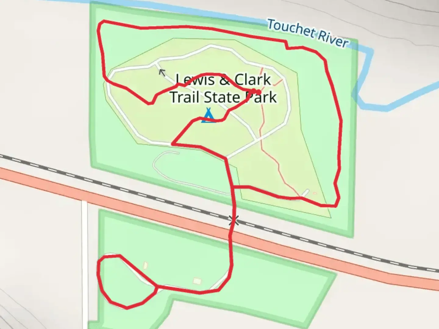
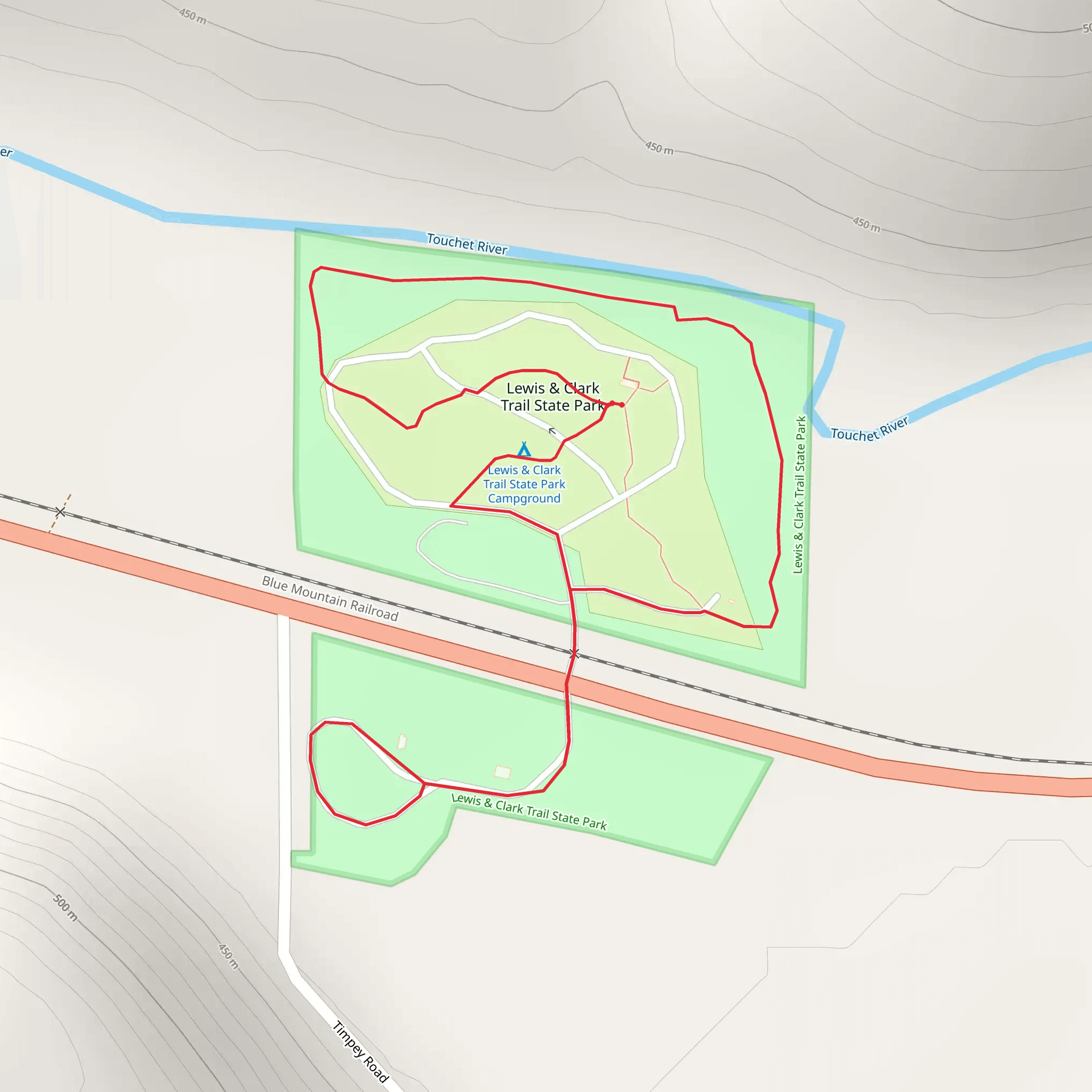
Starting near Columbia County, Washington, the Lewis and Clark Trail State Park Loop is a delightful 2 km (1.24 miles) loop trail with no significant elevation gain, making it accessible for most hikers. The trailhead is conveniently located near the Lewis and Clark Trail State Park, which can be reached by car via US-12. For those using public transport, the nearest significant landmark is the town of Dayton, WA, where you can catch a local bus or taxi to the park.
Trail Navigation and Terrain
The trail is well-marked and maintained, making navigation straightforward. For those who prefer digital navigation tools, HiiKER provides an excellent resource for real-time trail maps and updates. The terrain is relatively flat, with a mix of dirt paths and grassy areas, making it suitable for families and casual hikers.
Historical Significance
This trail is steeped in history, as it follows part of the route taken by the famous Lewis and Clark Expedition in the early 1800s. As you hike, you'll find interpretive signs that provide insights into the expedition's journey and the challenges they faced. These signs are placed at various points along the trail, offering a fascinating glimpse into the past.
Flora and Fauna
The trail meanders through a diverse landscape that includes lush meadows, dense woodlands, and the serene banks of the Touchet River. Keep an eye out for native plant species such as wildflowers, ferns, and towering cottonwoods. Birdwatchers will be delighted by the variety of species that inhabit the area, including woodpeckers, hawks, and songbirds. Deer and other small mammals are also commonly spotted along the trail.
Points of Interest
- Touchet River: Approximately halfway through the loop, you'll encounter the Touchet River. This is a great spot to take a break, enjoy a picnic, or simply soak in the tranquil surroundings. - Interpretive Signs: Scattered throughout the trail, these signs provide valuable historical context and enrich your hiking experience. - Wildflower Meadows: In the spring and early summer, the meadows burst into color with a variety of wildflowers, making it a perfect time for photography enthusiasts.
Preparation and Safety
Given the trail's moderate difficulty rating, it's advisable to wear sturdy hiking shoes and bring plenty of water, especially during the warmer months. While the trail is relatively short, weather conditions can change rapidly, so dressing in layers is recommended. Always check the weather forecast before heading out and let someone know your hiking plans.
Getting There
If you're driving, take US-12 to reach the Lewis and Clark Trail State Park. Ample parking is available at the trailhead. For those relying on public transport, the nearest town is Dayton, WA. From Dayton, you can take a local bus or taxi to the park, which is just a short drive away.
This trail offers a perfect blend of natural beauty and historical significance, making it a rewarding experience for hikers of all levels.
What to expect?
Activity types
Comments and Reviews
User comments, reviews and discussions about the Lewis and Clark Trail State Park Loop, Washington.
4.71
average rating out of 5
7 rating(s)
