Download
Preview
Add to list
More
20.6 km
~1 day 1 hrs
1223 m
Loop
“Embark on a 21-kilometer hike blending lush forests, open meadows, and stunning panoramic views.”
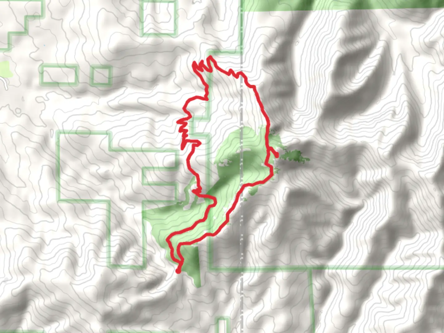
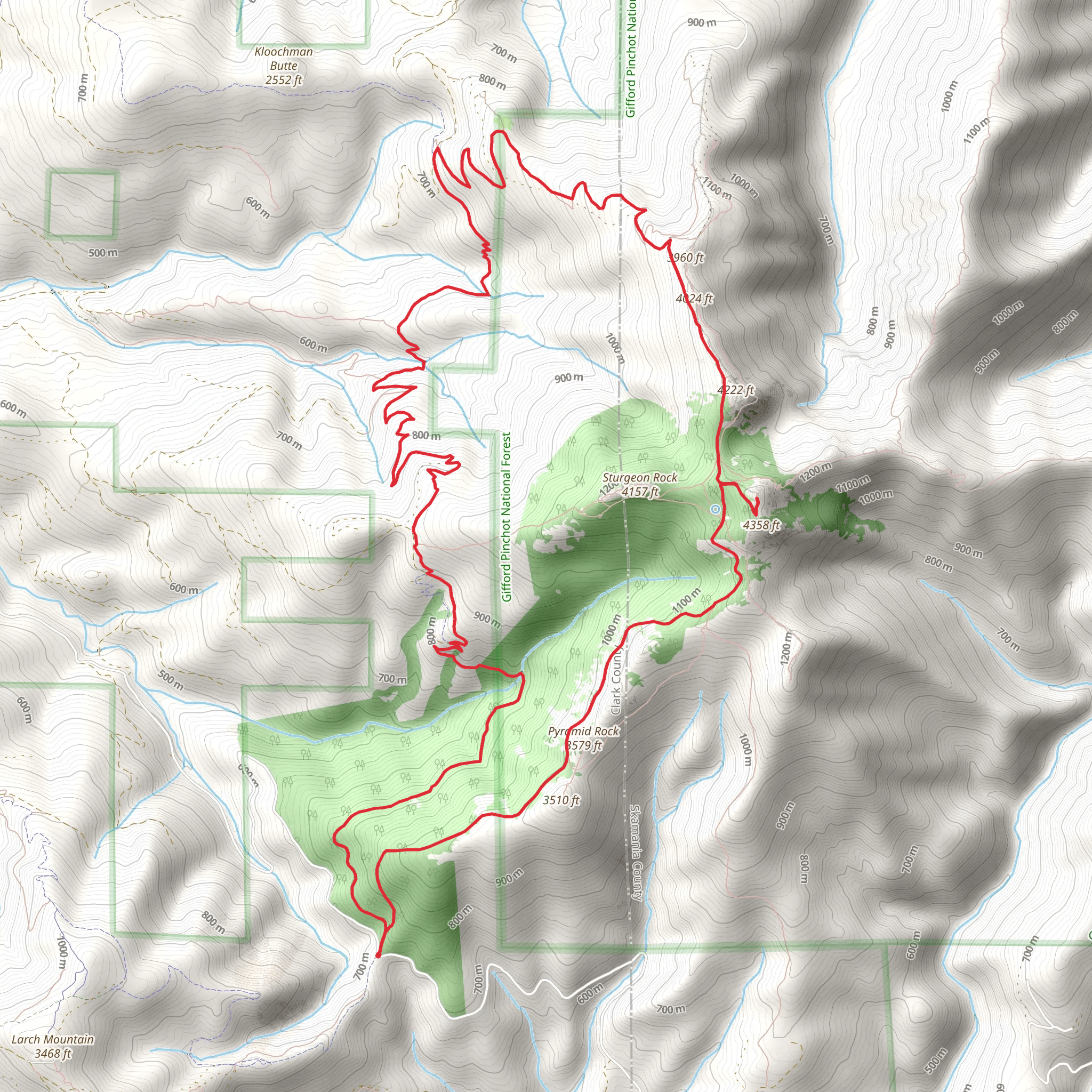
Starting near Clark County, Washington, the Grouse Vista Trail and Tarbell Trail loop spans approximately 21 kilometers (13 miles) with an elevation gain of around 1200 meters (3937 feet). This medium-difficulty trail offers a diverse hiking experience, blending lush forests, open meadows, and panoramic views.### Getting There To reach the trailhead, you can drive to the nearest significant landmark, which is the Grouse Vista Trailhead located off L-1200 Road. If you're using public transport, the closest major city is Vancouver, Washington. From Vancouver, you can take a bus to Battle Ground, and then a taxi or rideshare service to the trailhead.### Trail Overview The trail begins with a steady ascent through dense forest, where you'll be surrounded by towering Douglas firs and western red cedars. After about 3 kilometers (1.9 miles), the trail opens up to a series of meadows. These meadows are particularly beautiful in the spring and early summer when wildflowers like lupines and Indian paintbrush are in full bloom.### Key Landmarks and Sections
Silver Star Mountain
Around the 5-kilometer (3.1-mile) mark, you'll reach a junction that leads to Silver Star Mountain. This detour is worth considering if you have the time and energy, as it offers some of the best views in the area. The summit provides a 360-degree panorama, including views of Mount St. Helens, Mount Adams, and even Mount Hood on a clear day.#### Tarbell Trail Junction Continuing on the main loop, you'll intersect with the Tarbell Trail around the 10-kilometer (6.2-mile) point. This section of the trail is less steep but offers a variety of terrain, including rocky outcrops and small streams. Keep an eye out for wildlife; deer and elk are commonly spotted here, and you might even see a black bear if you're lucky.### Historical Significance The area around the Grouse Vista and Tarbell Trails has a rich history. It was originally inhabited by the Chinook and Cowlitz tribes, who used the land for hunting and gathering. In the early 20th century, the region saw extensive logging, which has since given way to conservation efforts. Remnants of old logging roads and equipment can still be seen along the trail, adding a historical dimension to your hike.### Navigation and Safety Given the trail's length and elevation gain, it's crucial to be well-prepared. Use the HiiKER app for accurate navigation and real-time updates on trail conditions. The trail is well-marked, but having a reliable map and GPS can be invaluable, especially in the more remote sections.### Flora and Fauna The trail's diverse ecosystems support a wide range of plant and animal life. In addition to the wildflowers in the meadows, you'll find various ferns, mosses, and lichens in the forested sections. Birdwatchers will enjoy spotting species like the northern flicker, Steller's jay, and even the occasional bald eagle.### Final Stretch As you near the end of the loop, the trail descends back into the forest, offering a cool, shaded respite after the more exposed sections. The final 3 kilometers (1.9 miles) are relatively gentle, allowing you to enjoy the serene surroundings before returning to the trailhead.This trail offers a well-rounded hiking experience with its mix of challenging climbs, scenic vistas, and rich history. Whether you're a seasoned hiker or looking to push your limits, the Grouse Vista Trail and Tarbell Trail loop is a rewarding adventure.
What to expect?
Activity types
Comments and Reviews
User comments, reviews and discussions about the Grouse Vista Trail and Tarbell Trail, Washington.
4.5
average rating out of 5
12 rating(s)
