Download
Preview
Add to list
More
8.5 km
~1 hrs 57 min
157 m
Out and Back
“Experience the East Fork Lewis River Trail's blend of natural beauty, historical significance, and moderate challenge.”
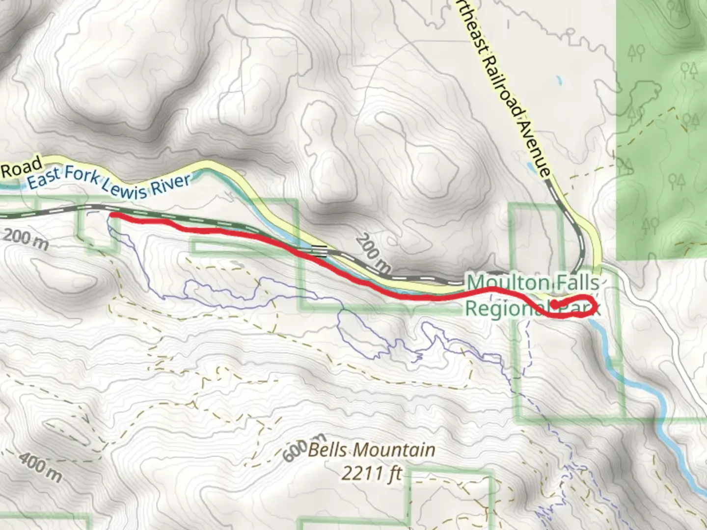
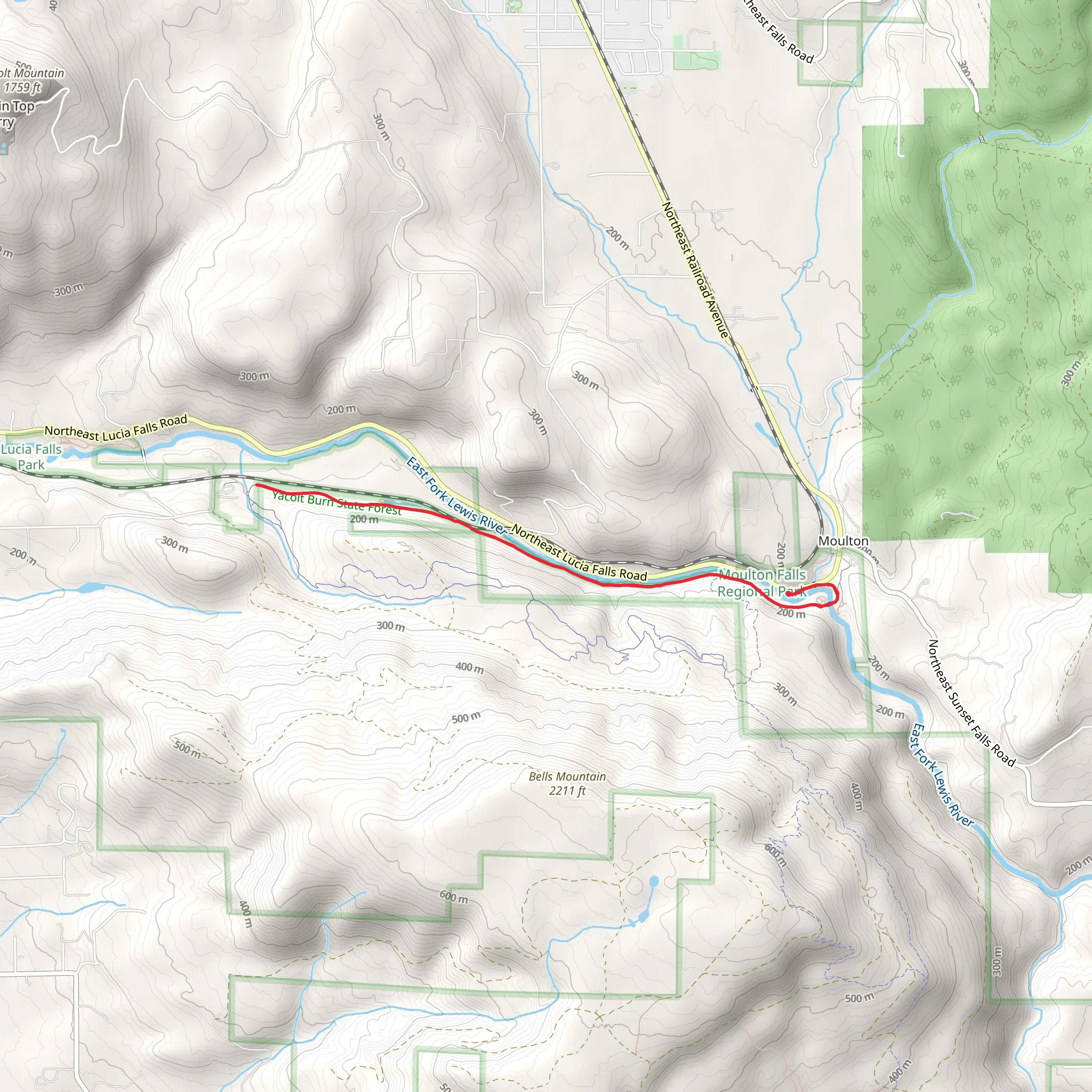
Starting near Clark County, Washington, the East Fork of the Lewis River Trail is an 8 km (approximately 5 miles) out-and-back trail with an elevation gain of around 100 meters (328 feet). This medium-difficulty trail offers a delightful mix of natural beauty and historical significance, making it a rewarding experience for hikers of various skill levels.
Getting There
To reach the trailhead, you can drive or use public transportation. If driving, head towards Moulton Falls Regional Park, located at 27781 NE Lucia Falls Rd, Yacolt, WA 98675. This is the nearest significant landmark to the trailhead. For those using public transport, the nearest bus stop is at Battle Ground, WA, from where you can take a taxi or rideshare service to the park.
Trail Overview
The trail begins near the parking area of Moulton Falls Regional Park. As you start your hike, you'll be greeted by the soothing sounds of the Lewis River. The trail is well-marked and maintained, making navigation straightforward. For those who prefer digital navigation tools, HiiKER is an excellent resource to use.
Natural Beauty and Landmarks
As you progress along the trail, you'll encounter a variety of landscapes, from dense forests to open riverbanks. The first significant landmark is Moulton Falls, located about 1.5 km (0.9 miles) from the trailhead. This picturesque waterfall is a great spot for a quick rest and some photos.
Continuing along the trail, you'll come across several smaller streams and tributaries feeding into the Lewis River. The trail meanders through lush greenery, with towering Douglas firs and Western red cedars providing ample shade. Keep an eye out for local wildlife, including deer, raccoons, and a variety of bird species such as woodpeckers and kingfishers.
Historical Significance
The East Fork of the Lewis River area has a rich history. The river was named after Meriwether Lewis of the Lewis and Clark Expedition, which explored the region in the early 1800s. The trail itself follows routes that were once used by Native American tribes for fishing and trading. Interpretive signs along the trail provide insights into the historical and cultural significance of the area.
Elevation and Terrain
The trail features a moderate elevation gain of around 100 meters (328 feet), spread out over the 8 km (5 miles) distance. The terrain is varied but generally manageable, with some rocky sections and gentle inclines. Good hiking boots are recommended to navigate these areas comfortably.
Final Stretch
As you approach the end of the trail, you'll reach a serene section of the river, perfect for a picnic or a moment of reflection. The return journey offers a different perspective, with the changing light and angles providing new views of the landscape.
Preparation Tips
- Footwear: Sturdy hiking boots are recommended due to the rocky sections. - Water: Carry enough water, especially during warmer months. - Navigation: Use HiiKER for real-time trail navigation and updates. - Wildlife: Be mindful of local wildlife and maintain a safe distance. - Weather: Check the weather forecast before heading out, as conditions can change rapidly.
This trail offers a perfect blend of natural beauty, historical context, and moderate physical challenge, making it a must-visit for any hiking enthusiast.
What to expect?
Activity types
Comments and Reviews
User comments, reviews and discussions about the East Fork of the Lewis River Trail, Washington.
4.75
average rating out of 5
12 rating(s)
