Download
Preview
Add to list
More
7.0 km
~1 hrs 36 min
116 m
Out and Back
“Experience lush meadows, serene creeks, and historical landmarks on the moderate Burnt Bridge Creek Trail.”
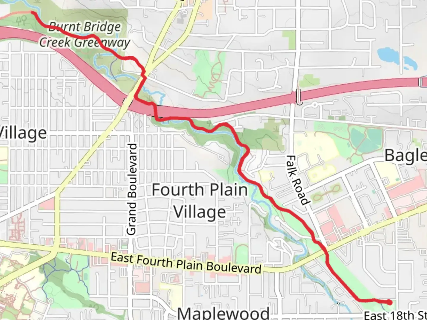
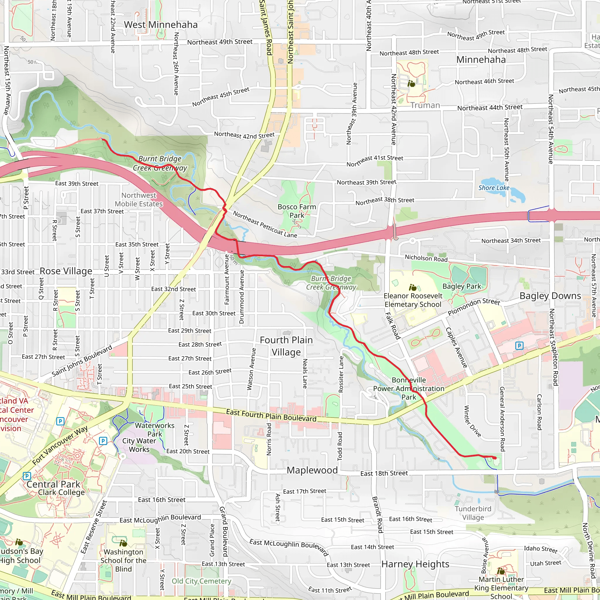
Starting near Clark County, Washington, the Burnt Bridge Creek Trail Out and Back offers a delightful 7 km (approximately 4.3 miles) journey with an elevation gain of around 100 meters (328 feet). This trail is classified as medium difficulty, making it accessible for most hikers with a moderate level of fitness.
Getting There To reach the trailhead, you can drive or use public transportation. If driving, head towards the nearest significant landmark, the Vancouver Mall, located at 8700 NE Vancouver Mall Dr, Vancouver, WA 98662. From there, it's a short drive to the trailhead. For those using public transport, several bus routes service the Vancouver Mall area, making it a convenient starting point.
Trail Overview The Burnt Bridge Creek Trail is an out-and-back route, meaning you'll hike to a certain point and then return along the same path. The trail is well-marked and maintained, making navigation straightforward. For precise navigation, consider using the HiiKER app, which provides detailed maps and real-time updates.
Natural Beauty and Wildlife As you embark on this trail, you'll be greeted by a variety of landscapes, including lush green meadows, dense woodlands, and serene creekside views. The trail follows Burnt Bridge Creek, offering picturesque water scenes and the soothing sound of flowing water. Keep an eye out for local wildlife such as deer, raccoons, and a variety of bird species, including woodpeckers and herons.
Significant Landmarks Around the 2 km (1.2 miles) mark, you'll come across Leverich Park, a popular spot for picnics and family gatherings. This park offers restrooms and water fountains, making it a good place to take a break. Continuing along the trail, you'll pass through several small bridges that cross the creek, providing excellent photo opportunities.
Historical Significance The area around Burnt Bridge Creek has a rich history. It was originally inhabited by Native American tribes who utilized the creek for fishing and transportation. In the early 20th century, the region saw significant development, and the creek played a crucial role in the local economy. Today, the trail serves as a reminder of the area's historical significance and natural beauty.
Elevation and Terrain The trail features a gentle elevation gain of around 100 meters (328 feet), spread out over the 7 km (4.3 miles). The terrain is mostly flat with a few rolling hills, making it manageable for most hikers. The path is a mix of paved and gravel sections, so sturdy walking shoes are recommended.
Tips for Hikers - Bring plenty of water, especially during the warmer months. - Wear comfortable, weather-appropriate clothing. - Use the HiiKER app for navigation and trail updates. - Be mindful of cyclists, as the trail is popular for biking as well.
This trail offers a perfect blend of natural beauty, historical significance, and moderate physical challenge, making it a rewarding experience for hikers of all levels.
What to expect?
Activity types
Comments and Reviews
User comments, reviews and discussions about the Burnt Bridge Creek Trail Out and Back, Washington.
4.64
average rating out of 5
11 rating(s)
