Download
Preview
Add to list
More
38.9 km
~2 day
1363 m
Out and Back
“Experience diverse landscapes and rich history on the moderately challenging 39 km White River Trail in Washington.”
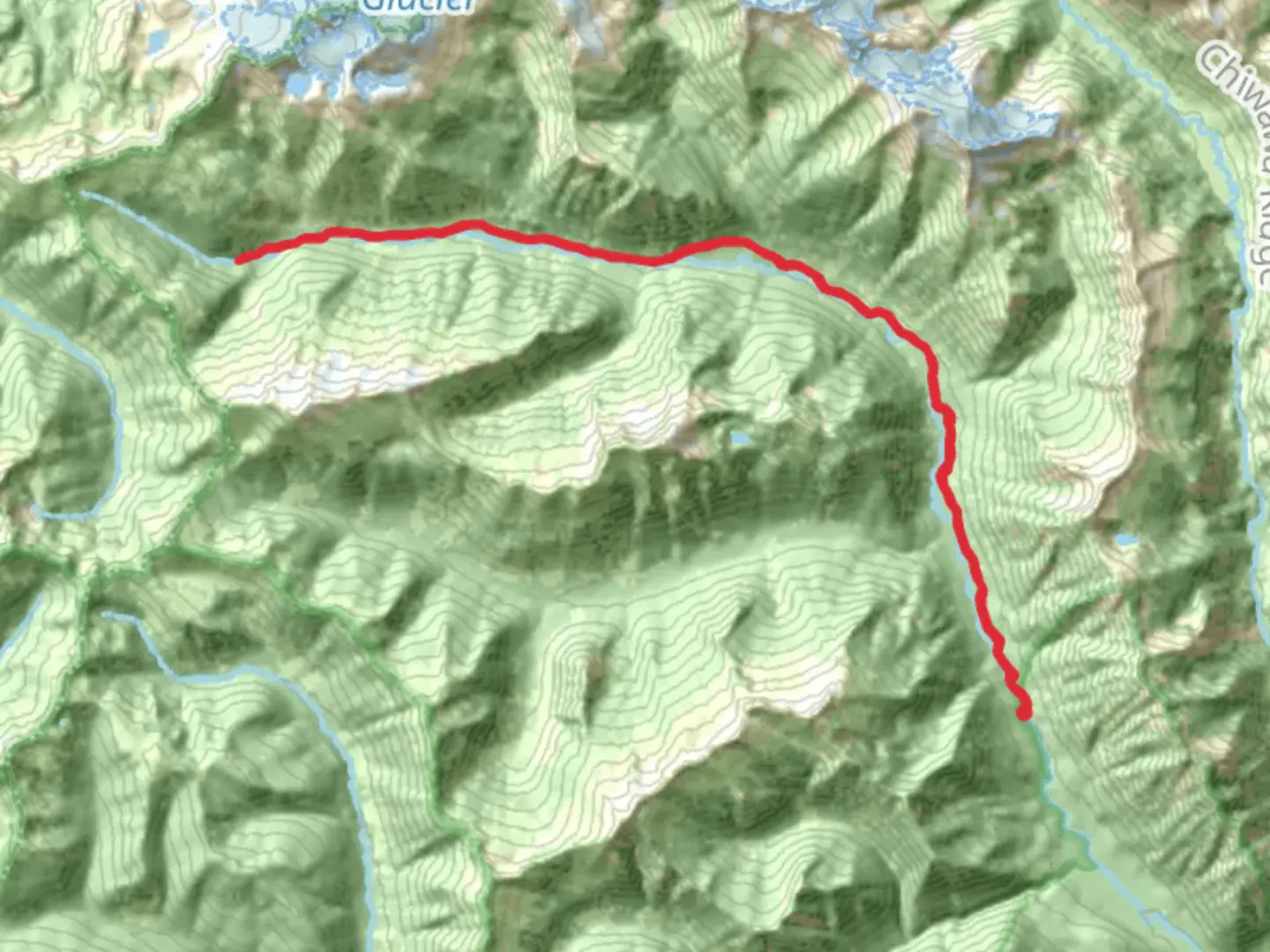
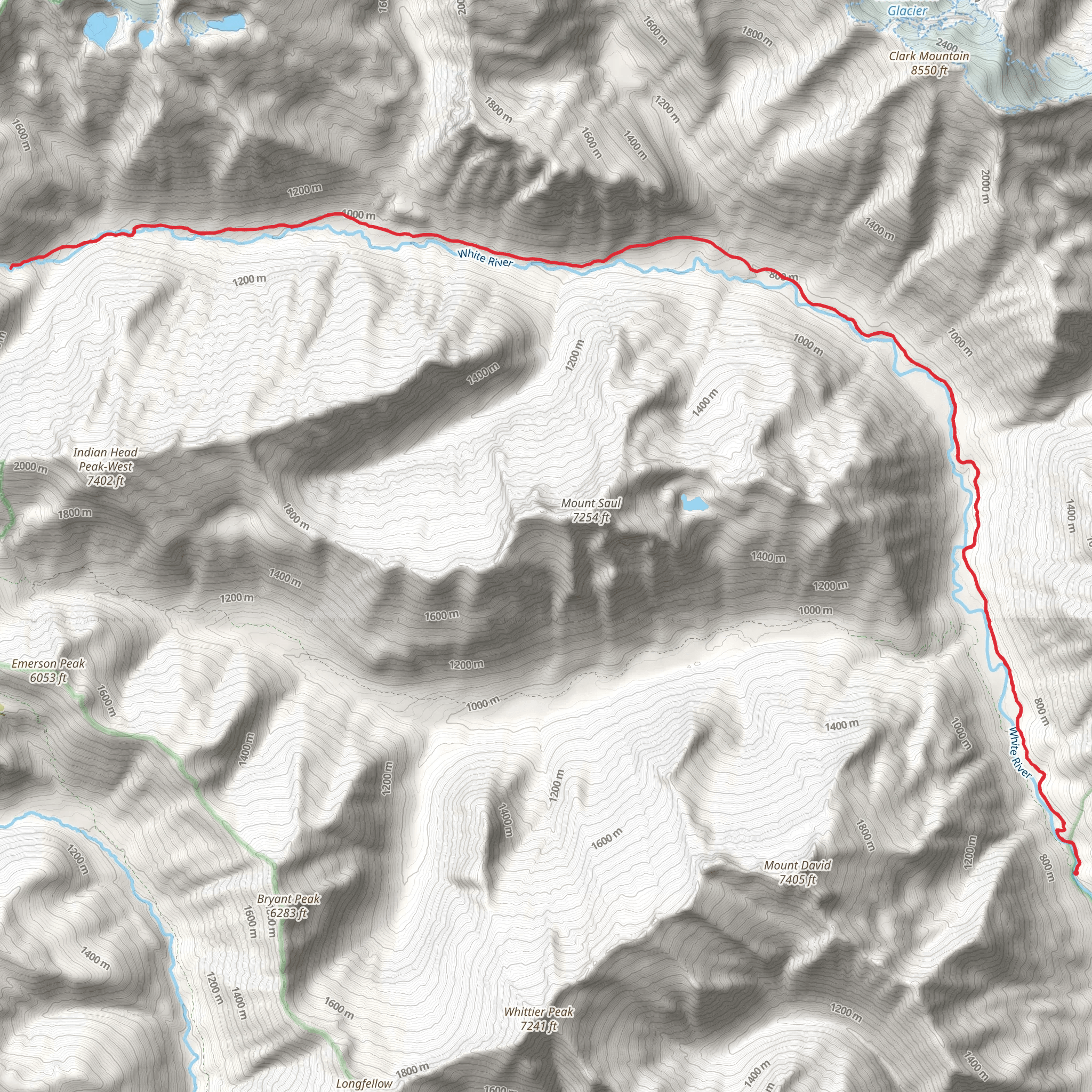
Starting near Chelan County, Washington, the White River Trail spans approximately 39 kilometers (24 miles) with an elevation gain of around 1300 meters (4265 feet). This out-and-back trail is estimated to be of medium difficulty, making it suitable for moderately experienced hikers.
Getting There To reach the trailhead, you can drive or use public transport. If driving, head towards the town of Leavenworth, Washington. From there, take US-2 W and WA-207 N to reach the trailhead near the White River Road. For those using public transport, the nearest major transit hub is in Leavenworth, where you can catch a local taxi or rideshare service to the trailhead.
Trail Overview The trail begins with a gentle ascent through lush forested areas, offering a serene start to your hike. As you progress, the trail becomes steeper, leading you through a series of switchbacks. The first significant landmark you'll encounter is the Napeequa Crossing, approximately 6 kilometers (3.7 miles) in, where the trail crosses the White River. This is a great spot to take a break and enjoy the sound of rushing water.
Flora and Fauna The White River Trail is rich in biodiversity. You'll pass through dense forests of Douglas fir and western hemlock, interspersed with patches of wildflowers during the spring and summer months. Keep an eye out for wildlife such as black bears, deer, and various bird species. It's advisable to carry bear spray and make noise to avoid surprising any wildlife.
Historical Significance This region has a rich history, with the trail passing through areas once inhabited by Native American tribes. The White River itself was a crucial resource for these communities, providing fish and a means of transportation. As you hike, you'll notice remnants of old logging roads and possibly even some historical markers that provide more context about the area's past.
Mid-Trail Highlights Around the 12-kilometer (7.5-mile) mark, you'll reach Boulder Creek, another excellent spot for a rest. The creek is surrounded by large boulders and offers a picturesque setting for a picnic. From here, the trail continues to climb, offering increasingly stunning views of the surrounding mountains.
Final Stretch The last segment of the trail is the most challenging, with a steep ascent leading to the highest point of the hike. At around 19.5 kilometers (12 miles) in, you'll reach the turnaround point, which offers panoramic views of the Cascade Range. This is a perfect spot to take in the scenery and snap some photos before heading back.
Navigation and Safety Given the trail's length and elevation gain, it's crucial to be well-prepared. Use the HiiKER app for accurate navigation and to stay updated on trail conditions. Ensure you have enough water, snacks, and appropriate gear for changing weather conditions. The trail can be muddy and slippery, especially after rain, so sturdy hiking boots are recommended.
Return Journey The return journey follows the same path, allowing you to revisit some of the trail's highlights from a different perspective. Be mindful of your energy levels and take breaks as needed. The descent can be tough on the knees, so trekking poles might be helpful.
By the time you return to the trailhead, you'll have covered approximately 39 kilometers (24 miles) and experienced a diverse range of landscapes and historical sites.
What to expect?
Activity types
Comments and Reviews
User comments, reviews and discussions about the White River Trail, Washington.
4.75
average rating out of 5
8 rating(s)
