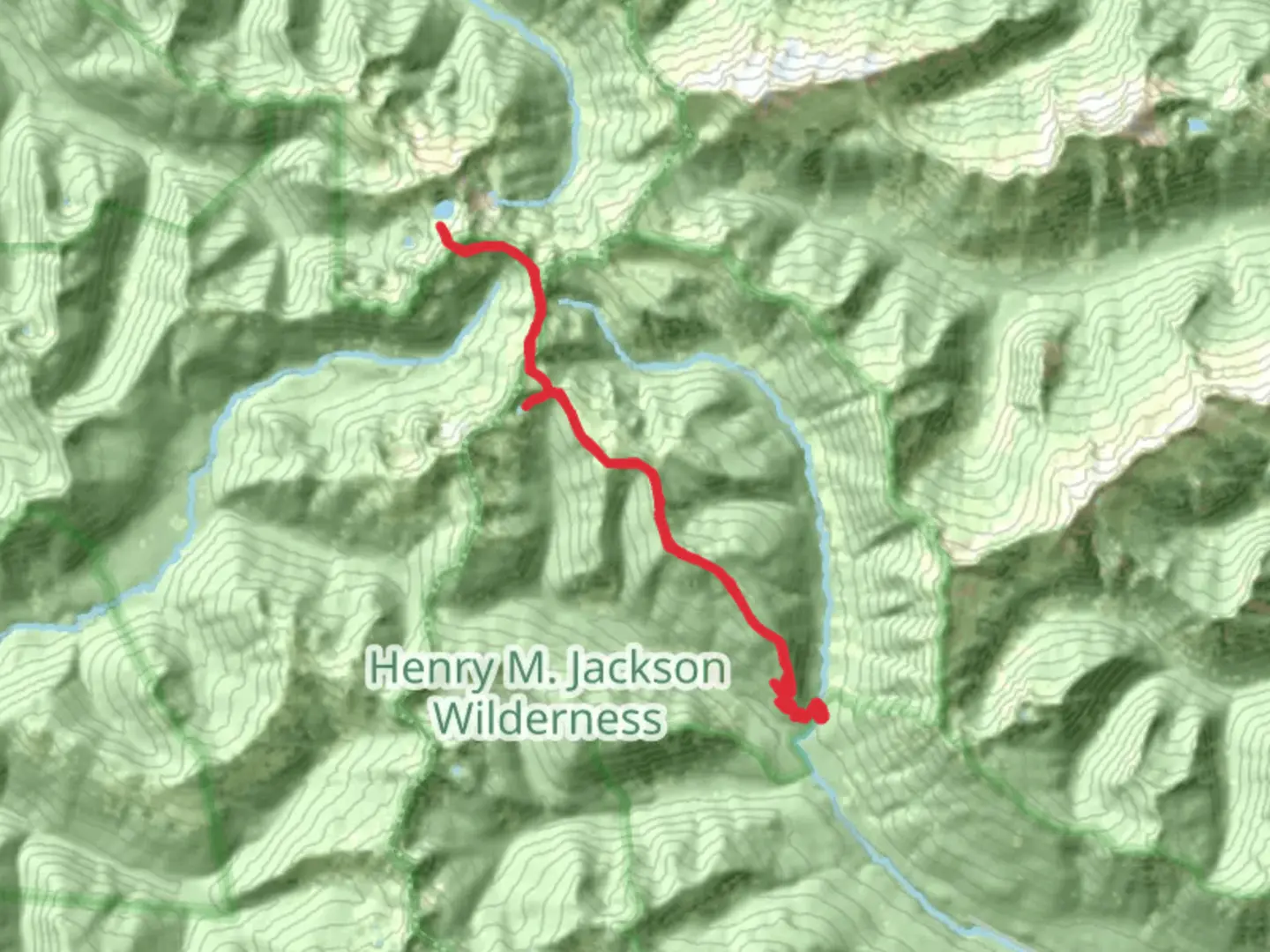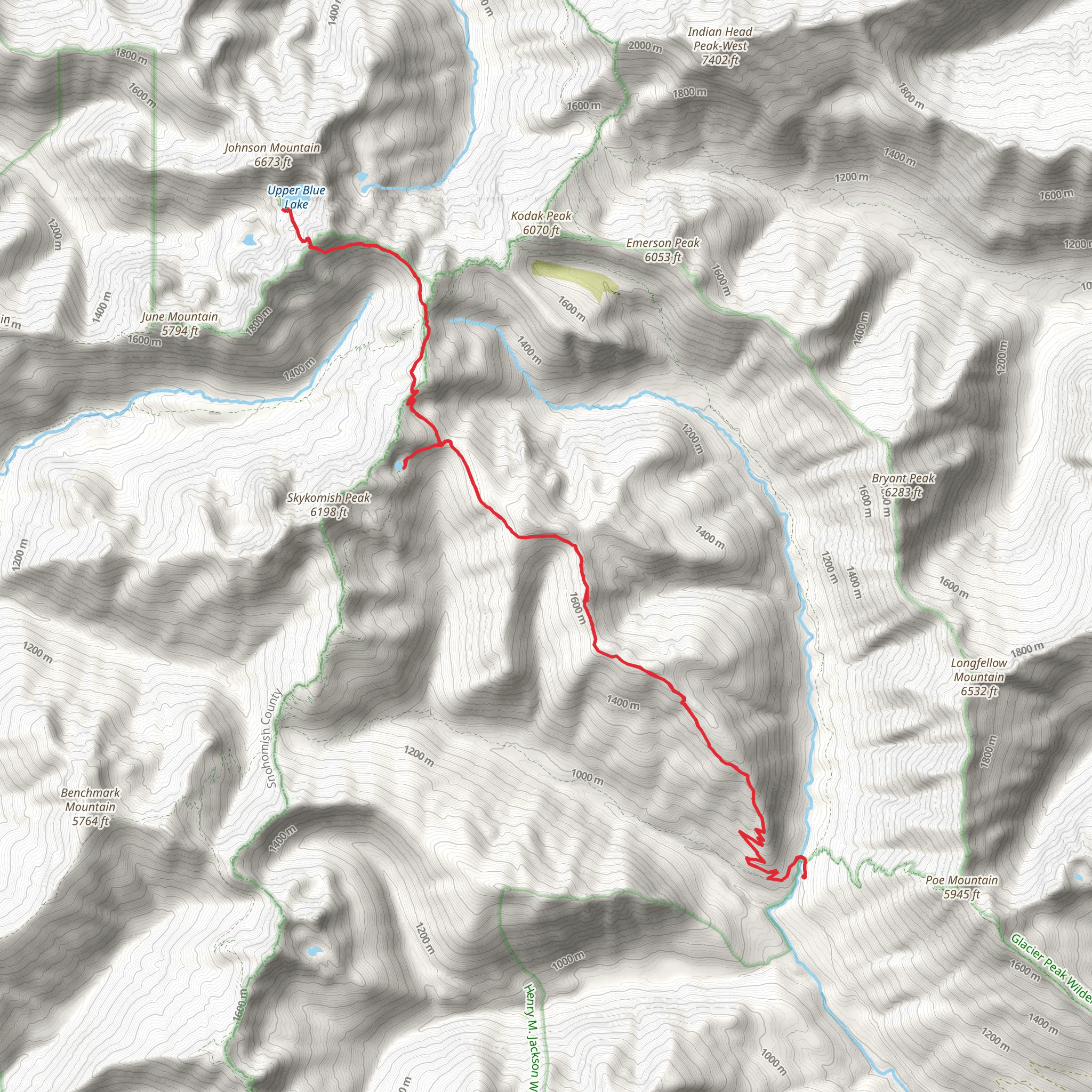
Upper Blue Lake and Lake Sally Ann via Cady Ridge Trail
Download
Preview
Add to list
More
31.6 km
~1 day 4 hrs
2084 m
Loop
“"Experience a captivating 32-km loop through lush forests, serene lakes, and breathtaking views on Cady Ridge Trail."”
Starting near Chelan County, Washington, the Upper Blue Lake and Lake Sally Ann via Cady Ridge Trail is a captivating loop trail that spans approximately 32 kilometers (20 miles) with an elevation gain of around 2000 meters (6562 feet). This trail is rated as medium difficulty, making it suitable for moderately experienced hikers.
Getting There To reach the trailhead, you can drive to the nearest significant landmark, which is the town of Leavenworth, Washington. From Leavenworth, head north on US-2 E for about 15 miles (24 km) until you reach the turnoff for Forest Road 62. Follow Forest Road 62 for approximately 10 miles (16 km) to the trailhead. Public transport options are limited, so driving is the most reliable way to get there.
Trail Overview The trail begins with a steady ascent through dense forest, offering a cool and shaded start. As you climb, the forest gradually opens up, revealing stunning views of the surrounding peaks and valleys. The first significant landmark you'll encounter is the Cady Ridge, approximately 5 kilometers (3 miles) into the hike. This ridge provides panoramic views and is an excellent spot for a short break.
Flora and Fauna As you continue along the trail, you'll traverse through diverse ecosystems. The lower elevations are dominated by Douglas fir and western hemlock, while higher elevations feature subalpine fir and mountain hemlock. Keep an eye out for wildlife such as black bears, deer, and various bird species, including the elusive northern spotted owl.
Upper Blue Lake Around the 10-kilometer (6-mile) mark, you'll reach Upper Blue Lake. This pristine alpine lake is surrounded by rugged cliffs and offers a serene spot for lunch or a quick swim. The elevation gain to this point is about 1000 meters (3281 feet), so you'll have earned a good rest.
Historical Significance The area around Upper Blue Lake has a rich history, with evidence of Native American use for hunting and gathering. In the early 20th century, the region was also explored by miners searching for precious metals, although large-scale mining never took off.
Lake Sally Ann Continuing on, the trail ascends further to Lake Sally Ann, located approximately 16 kilometers (10 miles) from the trailhead. The lake sits at an elevation of about 1800 meters (5905 feet) and is surrounded by wildflower meadows in the summer months. This is another excellent spot for camping if you plan to turn your hike into a multi-day adventure.
Return Loop From Lake Sally Ann, the trail loops back towards the trailhead, descending through lush meadows and dense forest. The descent offers a different perspective of the landscape, with opportunities to spot more wildlife and enjoy the tranquility of the forest.
Navigation Given the length and elevation gain of this trail, it's advisable to use a reliable navigation tool like HiiKER to keep track of your progress and ensure you stay on the correct path. The trail is well-marked, but having a digital map can provide extra peace of mind.
Final Stretch The final stretch of the trail brings you back to the trailhead, completing the loop. This section is relatively gentle, allowing you to reflect on the diverse landscapes and natural beauty you've experienced.
This trail offers a rewarding mix of challenging climbs, serene lakes, and breathtaking views, making it a must-do for any avid hiker.
What to expect?
Activity types
Comments and Reviews
User comments, reviews and discussions about the Upper Blue Lake and Lake Sally Ann via Cady Ridge Trail, Washington.
4.53
average rating out of 5
17 rating(s)
