Download
Preview
Add to list
More
49.1 km
~4 days
2232 m
Multi-Day
“Embark on a spectacular 49 km trek through Spider Meadow and Buck Creek Pass, unveiling the North Cascades' wild heart.”
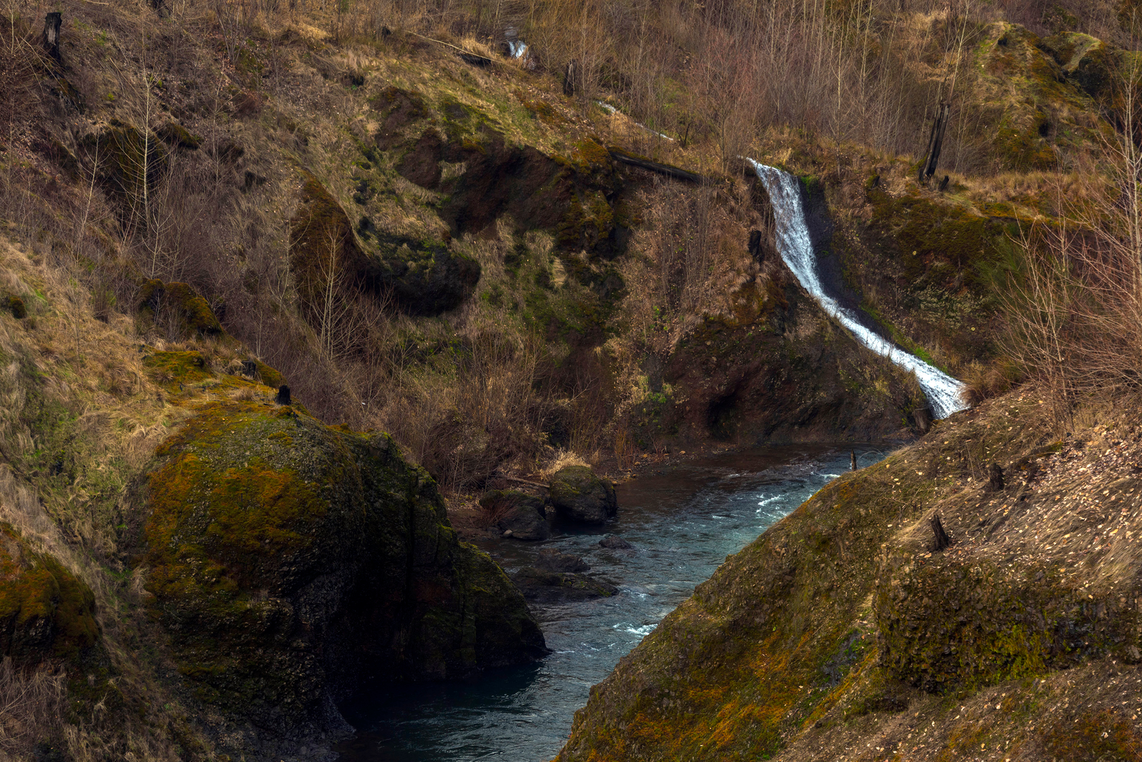
Nestled in the heart of the Glacier Peak Wilderness, the Spider Meadow - Buck Creek Pass Loop offers an immersive experience into the rugged terrain of the North Cascades. This approximately 49 km (30 miles) loop, with an elevation gain of around 2200 meters (7200 feet), is a challenging adventure that rewards hikers with breathtaking vistas, alpine meadows, and a chance to witness the diverse flora and fauna of Chelan County, Washington.Getting to the Trailhead The journey begins near the Phelps Creek Trailhead, which is accessible by car. From the town of Leavenworth, take US-2 W for about 15 km (9 miles) before turning onto WA-207 N. Follow this for 14 km (8.7 miles) and then continue onto Chiwawa Loop Road. After 3 km (1.9 miles), turn left onto Chiwawa River Road, driving for another 37 km (23 miles) to reach the trailhead. There is no direct public transportation to the trailhead, so a personal vehicle or a rented car is necessary.The Trek Through Spider Meadow The trail starts with a gentle ascent through dense forest, gradually opening up to the expansive Spider Meadow. This area, approximately 8 km (5 miles) from the trailhead, is a lush, green haven with wildflowers in the summer months. The meadow is a perfect spot for a break to enjoy the surrounding peaks and possibly spot wildlife such as deer or marmots.Climbing to Spider Gap From Spider Meadow, the trail becomes steeper as it approaches Spider Gap. This section involves a climb of about 700 meters (2300 feet) over 3 km (2 miles). The gap itself offers panoramic views of the surrounding peaks and valleys, and on a clear day, Glacier Peak looms in the distance.Descending into the Lyman Lakes Basin After conquering Spider Gap, the trail descends into the Lyman Lakes basin. The descent is steep and can be challenging, but the sight of the turquoise lakes nestled among the mountains is a rewarding spectacle. This area is rich in history, with remnants of past mining activities visible along the trail.Buck Creek Pass The loop continues towards Buck Creek Pass, another high point offering stunning vistas of the surrounding wilderness. The ascent to the pass is gradual, covering around 6 km (3.7 miles) with an elevation gain of 600 meters (2000 feet). Buck Creek Pass is an excellent location for an overnight camp, with the Milky Way often visible in the night sky.The Return Journey From Buck Creek Pass, the trail winds down through subalpine forests and meadows, following Buck Creek. The sound of the creek accompanies hikers for the final 20 km (12.4 miles) of the loop. This section is less strenuous, allowing for reflection on the journey as the trailhead approaches.Flora, Fauna, and Safety Throughout the hike, adventurers will traverse zones of subalpine fir and mountain hemlock, with the chance to see black bears, mountain goats, and a variety of bird species. It's essential to be prepared for wildlife encounters by understanding proper safety measures and carrying bear spray.Navigation and Preparation Due to the remote nature of the trail, it's crucial to be well-prepared with adequate supplies, clothing for changing weather conditions, and a reliable navigation tool. HiiKER is an excellent resource for trail maps and navigation, ensuring that hikers can stay on track throughout their journey.Historical Significance The Glacier Peak Wilderness has a rich history, with Native American tribes such as the Sauk-Suiattle and Wenatchi using the land for hunting and gathering. The area also saw prospectors and miners in the late 19th and early 20th centuries, searching for precious minerals in the rugged mountains.Conclusion The Spider Meadow - Buck Creek Pass Loop is a challenging yet rewarding hike that offers a deep connection with the natural beauty and history of the North Cascades. With proper preparation and respect for the wilderness, hikers will find this loop to be an unforgettable experience.

What to expect?
Activity types
Comments and Reviews
User comments, reviews and discussions about the Spider Meadow - Buck Creek Pass Loop, Washington.
4.86
average rating out of 5
7 rating(s)