Download
Preview
Add to list
More
39.0 km
~3 days
1223 m
Multi-Day
“Embark on the North Fork Bridge Creek trail for a mesmerizing hike through the Cascades' heart.”
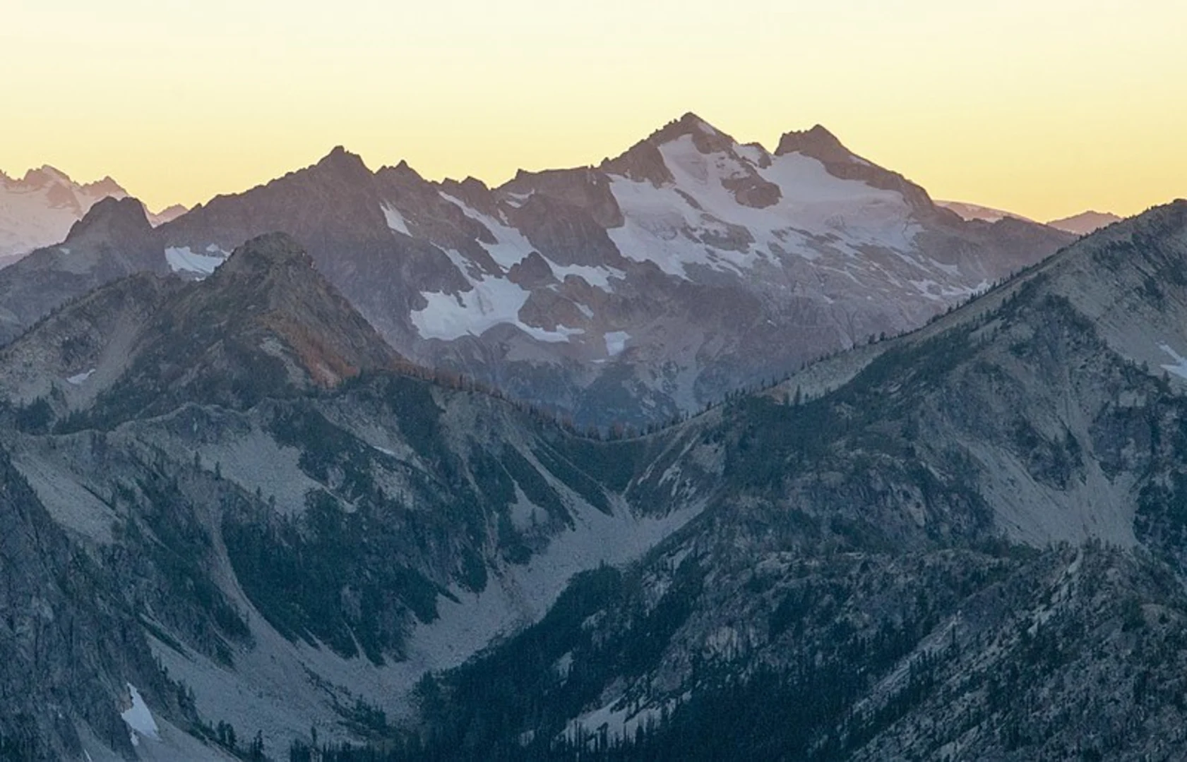
The North Fork Bridge Creek via Pacific Crest Trail (PCT) is a captivating journey that spans approximately 39 kilometers (about 24 miles) with an elevation gain of around 1200 meters (nearly 3937 feet). This loop trail is nestled in the heart of the North Cascades, starting near Chelan County, Washington. Hikers can expect a medium difficulty rating, making it accessible to those with some hiking experience and a reasonable level of fitness.
Getting to the Trailhead
To reach the trailhead, hikers can drive to the end of Forest Road 151, which is the nearest known landmark to the starting point. For those relying on public transportation, options may be limited, and it's advisable to check local resources for the latest schedules and routes that can get you as close as possible to the trailhead. From there, a taxi or a pre-arranged shuttle might be necessary to reach the starting point.
Navigating the Trail
Once on the trail, hikers will be greeted by the lush old-growth forests characteristic of the North Cascades. The path meanders alongside Bridge Creek, with the soothing sounds of flowing water accompanying you for a significant portion of the hike. The use of a navigation tool like HiiKER can be invaluable for staying on track and monitoring your progress.
Landmarks and Natural Beauty
As you ascend, you'll encounter a series of switchbacks that offer stunning views of the surrounding peaks and valleys. The trail is well-marked, but attention to the path is essential as you navigate through dense forest and open meadows. Around the halfway point, you'll reach the North Fork camping area, a perfect spot to rest and refuel while enjoying the serene environment.
Wildlife and Flora
The region is home to a diverse array of wildlife, including black bears, mountain goats, and mule deer. Birdwatchers will delight in the variety of avian species, from the majestic bald eagle to the melodic thrushes. The trail is also a showcase of the area's rich flora, with wildflowers such as lupines and Indian paintbrush adding splashes of color in the spring and summer months.
Historical Significance
The North Cascades have a rich history, with the PCT itself being a monument to the conservation efforts that have preserved this wilderness for future generations. The trail crosses paths with remnants of the past, including old mining sites and historical camps, offering a glimpse into the lives of those who once called these mountains home.
Preparation and Planning
Before embarking on this hike, ensure you have all the necessary gear, including sturdy hiking boots, weather-appropriate clothing, and plenty of water and food. The trail can be completed in a single long day by very fit hikers, but many choose to spread the journey over two or more days to fully enjoy the experience. There are several backcountry campsites along the route for those looking to extend their adventure.
Safety Considerations
Always check the weather forecast and trail conditions before heading out, as the North Cascades are known for rapidly changing weather. It's also wise to inform someone of your hiking plans and expected return time. Bear safety is paramount in this region, so be sure to carry bear spray and know how to store food properly.
By preparing adequately and respecting the natural environment, hikers can look forward to an unforgettable experience on the North Fork Bridge Creek via PCT, immersed in the beauty and solitude of the North Cascades.

Comments and Reviews
User comments, reviews and discussions about the North Fork Bridge Creek via PCT, Washington.
4.67
average rating out of 5
3 rating(s)