Download
Preview
Add to list
More
24.1 km
~1 day 1 hrs
1010 m
Out and Back
“Embark on a moderately challenging, 24km journey through lush forests and alpine meadows to serene McAlester Lake.”
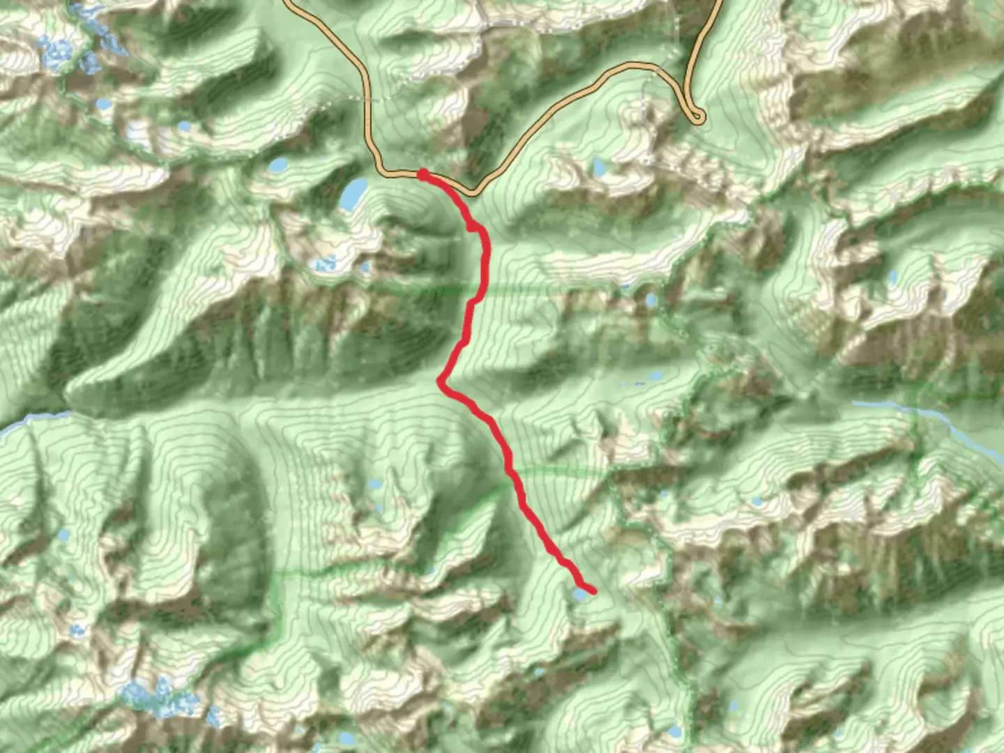
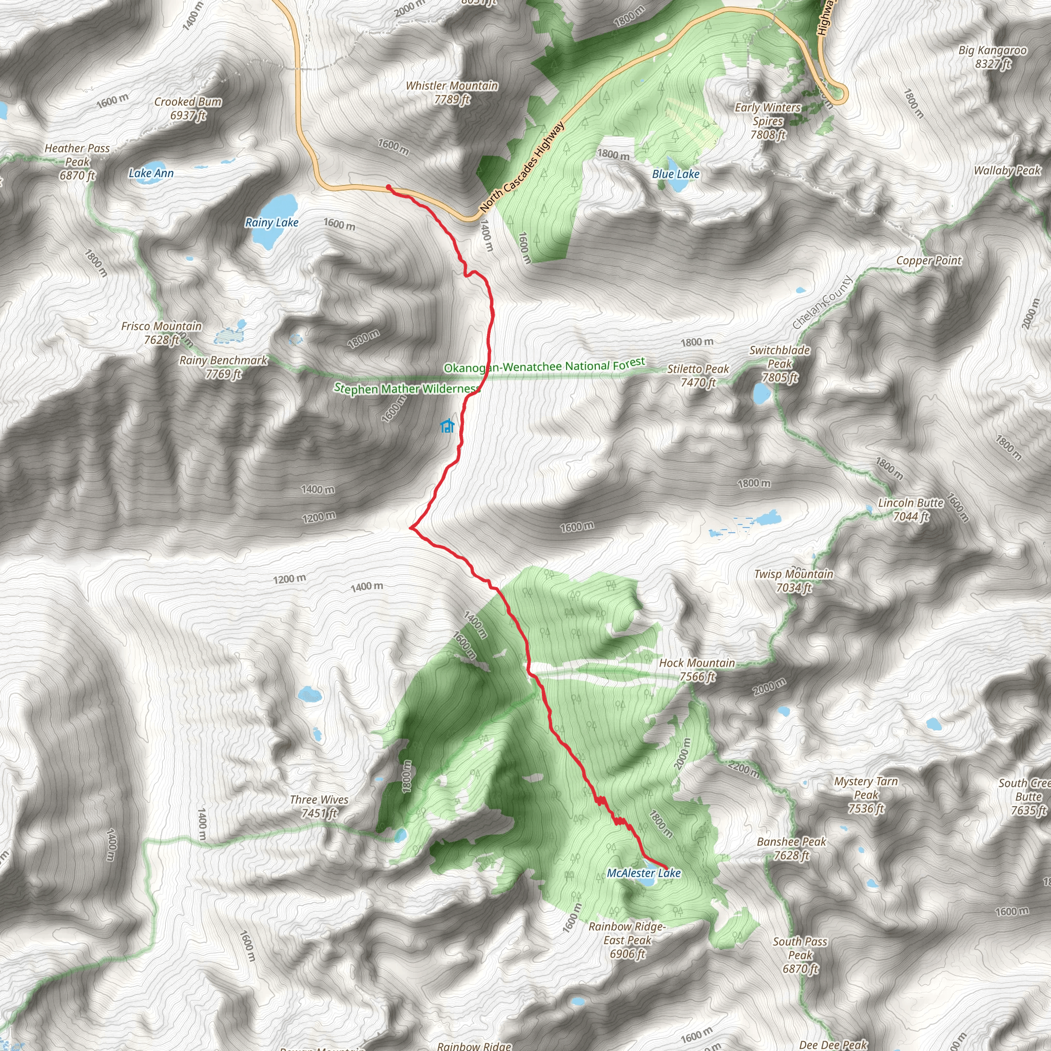
Starting near Chelan County, Washington, the McAlester Lake via Pacific Crest Trail offers a captivating journey through the North Cascades. This out-and-back trail spans approximately 24 kilometers (15 miles) with an elevation gain of around 1000 meters (3280 feet), making it a moderately challenging hike suitable for those with some experience.
Getting There To reach the trailhead, you can drive or use public transport. If driving, head towards the nearest significant landmark, the town of Stehekin. From Stehekin, the trailhead is accessible via the Stehekin Valley Road. Public transport options include taking a ferry from Chelan to Stehekin, followed by a shuttle bus that runs along the Stehekin Valley Road. Ensure to check the ferry and shuttle schedules in advance, as they can vary seasonally.
Trail Overview The trail begins with a gentle ascent through lush forested areas, offering a serene start to your hike. As you progress, the trail becomes steeper, with switchbacks that provide a good workout and gradually lead you to higher elevations. The first significant landmark is the junction with the Pacific Crest Trail (PCT), approximately 6 kilometers (3.7 miles) from the trailhead. Here, you’ll encounter a well-marked signpost indicating the direction to McAlester Lake.
Flora and Fauna The trail is rich in biodiversity. Early sections are dominated by towering Douglas firs and Western hemlocks. As you climb higher, the forest gives way to alpine meadows filled with wildflowers during the summer months. Keep an eye out for wildlife such as black bears, deer, and various bird species. It's advisable to carry bear spray and know how to use it, as bear sightings are not uncommon in this region.
Historical Significance The North Cascades have a rich history, with the Pacific Crest Trail itself being a significant part of American hiking culture. The PCT was conceived in the 1930s and completed in 1993, stretching from Mexico to Canada. This section of the trail offers a glimpse into the rugged terrain that early explorers and Native American tribes navigated. The area around McAlester Lake was historically used by indigenous peoples for hunting and gathering, and remnants of their presence can sometimes be found along the trail.
Reaching McAlester Lake After approximately 12 kilometers (7.5 miles) and an elevation gain of around 1000 meters (3280 feet), you will reach McAlester Lake. The lake is a tranquil spot, surrounded by dense forest and offering stunning reflections of the surrounding peaks. It's an ideal location for a lunch break or even an overnight camping trip if you have the necessary permits. The lake's serene environment provides a perfect backdrop for relaxation and reflection.
Navigation and Safety Given the trail's moderate difficulty, it's essential to be well-prepared. Use HiiKER for accurate trail maps and real-time navigation. The app can help you stay on course, especially at junctions and less clearly marked sections. Weather in the North Cascades can be unpredictable, so pack layers and be prepared for sudden changes. Always carry enough water, snacks, and a first aid kit.
Return Journey The return journey follows the same path back to the trailhead. While descending, take the opportunity to enjoy different perspectives of the landscape you ascended through. The downhill trek is generally easier but still requires caution, especially on steeper sections.
This hike offers a rewarding experience with its combination of natural beauty, historical significance, and moderate challenge. Whether you're a seasoned hiker or looking to step up your hiking game, the McAlester Lake via Pacific Crest Trail is a memorable adventure.
What to expect?
Activity types
Comments and Reviews
User comments, reviews and discussions about the McAlester Lake via Pacific Crest Trail, Washington.
4.33
average rating out of 5
9 rating(s)
