Download
Preview
Add to list
More
11.3 km
~3 hrs 58 min
1027 m
Out and Back
“Experience the breathtaking Magnet Creek and Tronsen Ridge Trail's 11-kilometer journey with stunning views and rich history.”
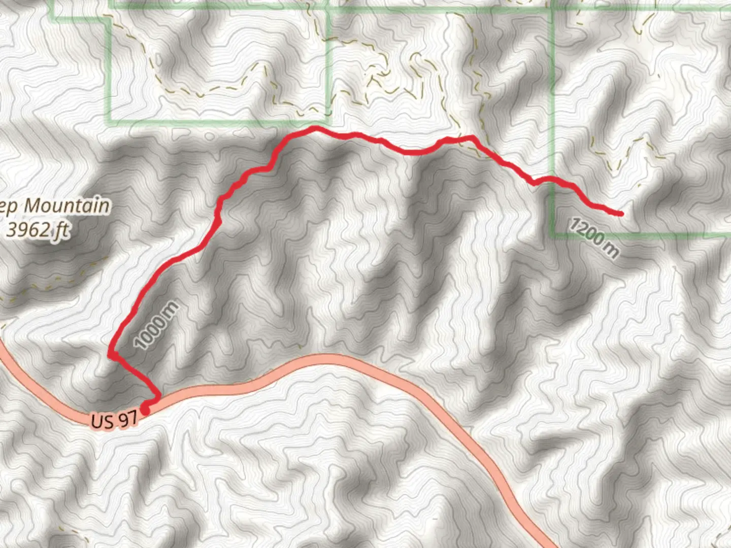
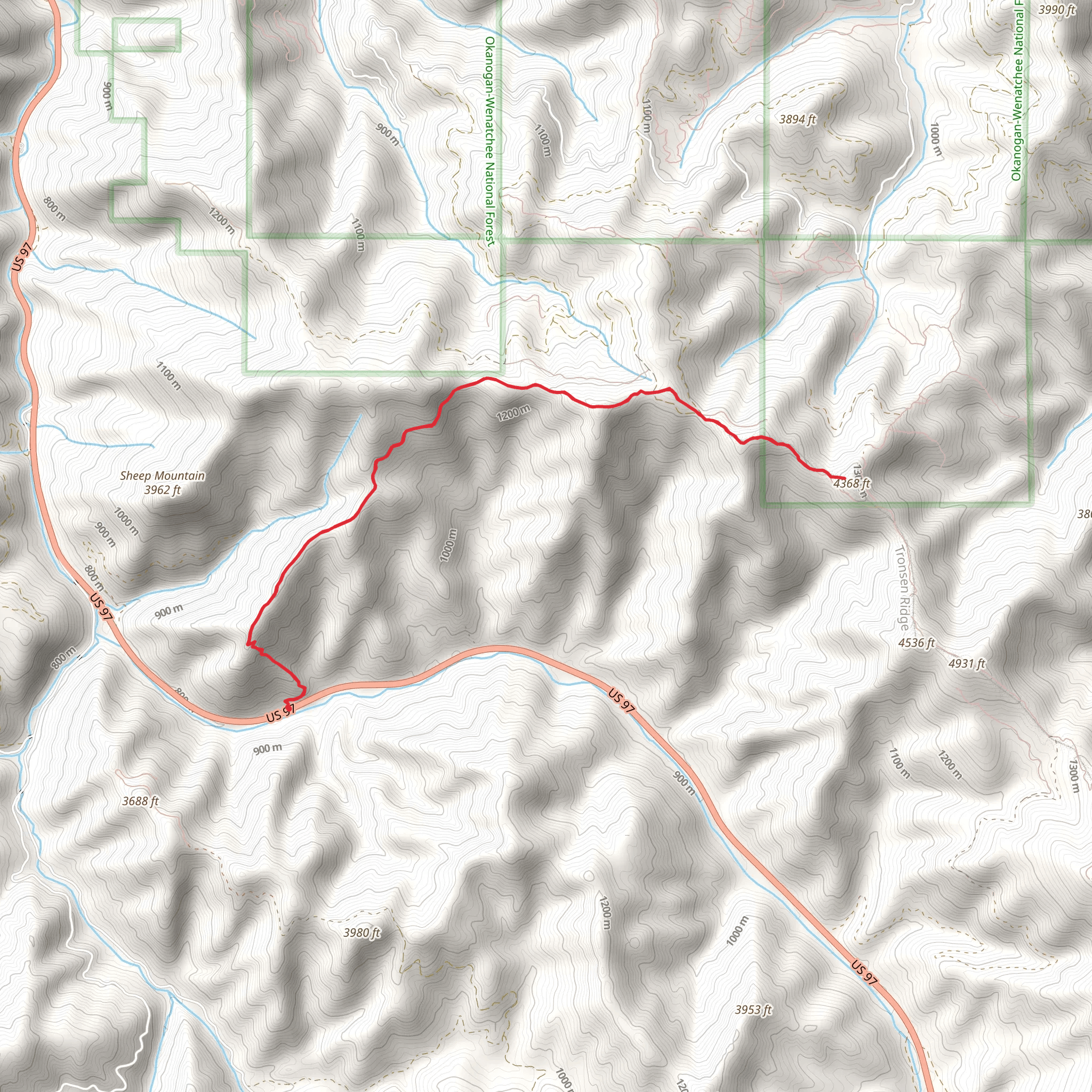
Starting near Chelan County, Washington, the Magnet Creek Trail and Tronsen Ridge Trail offer a captivating hiking experience. This out-and-back trail spans approximately 11 kilometers (around 6.8 miles) with an elevation gain of about 1000 meters (3280 feet), making it a moderately challenging hike.
Getting There To reach the trailhead, you can drive or use public transport. If driving, head towards the nearest significant landmark, which is the town of Leavenworth, WA. From Leavenworth, take US-2 E and then turn onto WA-97 S. Follow this route until you reach the trailhead near the intersection of WA-97 and Forest Road 9716. For those using public transport, the nearest bus stop is in Leavenworth, from where you can arrange a taxi or rideshare to the trailhead.
Trail Overview The trail begins with a gentle ascent through a dense forest of Douglas fir and ponderosa pine. As you progress, the trail becomes steeper, gaining elevation steadily. At around the 2-kilometer (1.2-mile) mark, you will encounter a small creek, Magnet Creek, which is a great spot to refill your water bottles if you have a filtration system.
Significant Landmarks and Nature Around the 4-kilometer (2.5-mile) point, the forest opens up to reveal stunning views of the surrounding valleys and peaks. This section is particularly beautiful in the fall when the foliage turns vibrant shades of red and orange. Keep an eye out for wildlife such as deer, black bears, and various bird species, including the elusive northern goshawk.
Historical Significance The region has a rich history, with the trail passing through areas once used by Native American tribes for hunting and gathering. The Tronsen Ridge area was also significant during the early 20th century for logging activities, remnants of which can still be seen in the form of old logging roads and equipment.
Navigation and Safety As you approach the 6-kilometer (3.7-mile) mark, the trail reaches its highest point on Tronsen Ridge. Here, the elevation gain is most noticeable, and the terrain can be rocky and uneven. It's advisable to use a reliable navigation tool like HiiKER to stay on track, especially since some sections of the trail can be poorly marked.
Return Journey The return journey follows the same path, offering a different perspective on the landscape as you descend. The downhill trek can be tough on the knees, so trekking poles are recommended. The total round trip will bring you back to the trailhead, completing an 11-kilometer (6.8-mile) adventure with a total elevation gain of 1000 meters (3280 feet).
This trail offers a mix of natural beauty, historical significance, and moderate physical challenge, making it a rewarding experience for hikers of all levels.
What to expect?
Activity types
Comments and Reviews
User comments, reviews and discussions about the Magnet Creek Trail and Tronsen Ridge Trail, Washington.
4.38
average rating out of 5
8 rating(s)
