Download
Preview
Add to list
More
29.1 km
~1 day 2 hrs
1271 m
Out and Back
“Lake Margaret via Icicle Creek Trail offers 29 km of natural beauty, historical significance, and moderate challenge.”
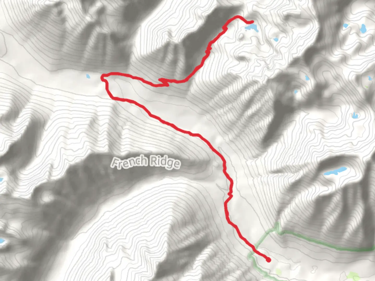
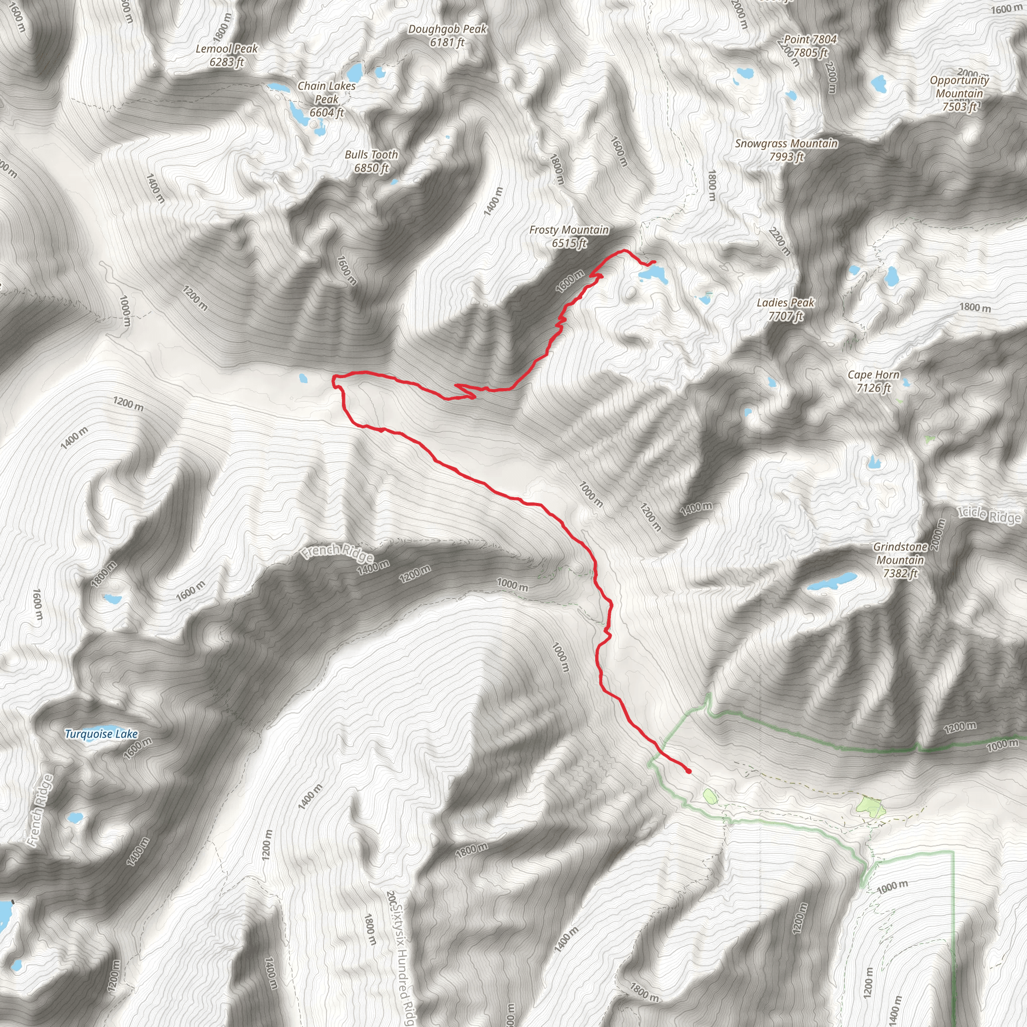
Starting near Chelan County, Washington, the Lake Margaret via Icicle Creek Trail is an out-and-back hike that spans approximately 29 kilometers (18 miles) with an elevation gain of around 1200 meters (3937 feet). This trail is rated as medium difficulty, making it suitable for moderately experienced hikers.
Getting There To reach the trailhead, you can drive or use public transportation. If driving, head towards Leavenworth, Washington, and follow Icicle Road until you reach the Icicle Creek Trailhead. For those using public transport, the nearest significant landmark is Leavenworth, where you can catch a local shuttle or taxi to the trailhead.
Trail Overview The trail begins at the Icicle Creek Trailhead, located near the confluence of Icicle Creek and the Wenatchee River. The initial section of the trail is relatively flat, meandering through dense forests of Douglas fir and western hemlock. After about 3 kilometers (1.9 miles), you will start to notice a gradual incline as you approach the first significant landmark, the Chatter Creek Campground.
Chatter Creek Campground to Lake Margaret From Chatter Creek Campground, the trail becomes steeper, gaining approximately 300 meters (984 feet) in elevation over the next 5 kilometers (3.1 miles). This section is characterized by switchbacks and offers stunning views of the surrounding peaks, including Grindstone Mountain and Big Lou. Keep an eye out for wildlife such as black bears, deer, and various bird species.
Midway Point: Wildflower Meadows Around the 10-kilometer (6.2-mile) mark, you will encounter expansive wildflower meadows, especially vibrant in late spring and early summer. These meadows are home to a variety of flora, including lupines, Indian paintbrush, and columbines. This is an excellent spot for a break and some photography.
Historical Significance As you continue, you will pass through areas that were historically significant to the Native American tribes of the region, particularly the Wenatchi people. They used these trails for hunting and gathering, and you may come across ancient petroglyphs and other cultural artifacts.
Final Ascent to Lake Margaret The final 4 kilometers (2.5 miles) to Lake Margaret involve a more strenuous climb, with an elevation gain of about 400 meters (1312 feet). The trail narrows and becomes rockier, so be cautious and use trekking poles if necessary. Upon reaching Lake Margaret, you will be rewarded with breathtaking views of the alpine lake surrounded by rugged cliffs and dense forest.
Navigation and Safety Given the trail's length and elevation gain, it's crucial to be well-prepared. Use the HiiKER app for accurate navigation and real-time updates on trail conditions. Ensure you have adequate water, snacks, and appropriate clothing for changing weather conditions. Always inform someone of your hiking plans and expected return time.
Return Journey The return journey follows the same path back to the Icicle Creek Trailhead. While descending, take the opportunity to enjoy the views you might have missed on the way up. The descent is generally easier but still requires caution, especially on the steeper sections.
This trail offers a mix of natural beauty, historical significance, and moderate physical challenge, making it a rewarding experience for those who undertake it.
What to expect?
Activity types
Comments and Reviews
User comments, reviews and discussions about the Lake Margaret via Icicle Creek Trail, Washington.
4.5
average rating out of 5
8 rating(s)
