Download
Preview
Add to list
More
24.1 km
~1 day 2 hrs
1797 m
Out and Back
“The Lake Augusta via Icicle Ridge Trail offers stunning views, rich history, and a challenging ascent.”
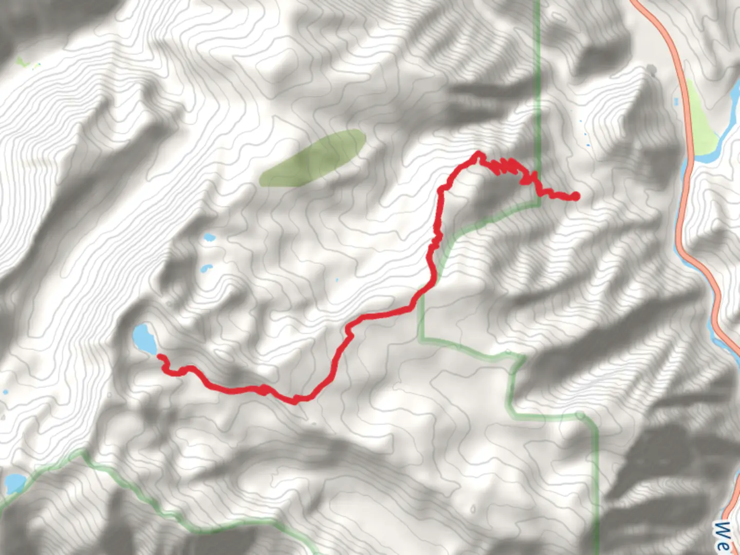
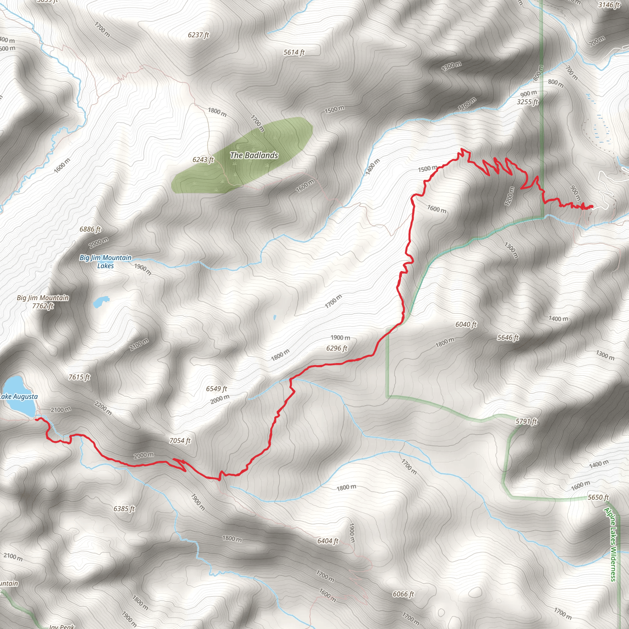
Starting your adventure near Chelan County, Washington, the Lake Augusta via Icicle Ridge Trail offers a challenging yet rewarding experience. The trailhead is accessible by car, with parking available at the Icicle Ridge Trailhead. For those relying on public transport, the nearest significant town is Leavenworth, Washington, which is well-connected by bus services. From Leavenworth, you can take a taxi or rideshare to the trailhead.
Trail Overview
The trail spans approximately 24 kilometers (15 miles) round trip, with an elevation gain of around 1700 meters (5577 feet). This out-and-back trail is rated as medium difficulty, making it suitable for hikers with some experience and a good level of fitness.
Initial Ascent
The first section of the trail involves a steady climb through dense forest. You'll gain about 300 meters (984 feet) in the first 3 kilometers (1.9 miles). The forest is rich with Douglas fir and Ponderosa pine, providing ample shade and a cool environment. Keep an eye out for deer and various bird species that inhabit this area.
Mid-Trail Landmarks
Around the 6-kilometer (3.7-mile) mark, you'll reach a series of switchbacks that offer stunning views of the surrounding valleys and peaks. This is a great spot to take a break and hydrate. The elevation gain here is more pronounced, adding another 400 meters (1312 feet) over the next 2 kilometers (1.2 miles).
Historical Significance
As you continue, you'll pass through areas that were historically significant for the Native American tribes of the region. These lands were used for hunting and gathering, and you might notice some ancient trails that intersect with the main path. It's a humbling reminder of the rich history that predates modern hiking.
Approaching Lake Augusta
The final stretch to Lake Augusta is the most challenging, with a steep ascent of about 500 meters (1640 feet) over the last 3 kilometers (1.9 miles). The terrain becomes rocky and less forested, offering panoramic views of the surrounding mountains. This section requires careful footing, especially if the weather has been wet.
Lake Augusta
Upon reaching Lake Augusta, you'll be rewarded with breathtaking views of the pristine alpine lake, surrounded by rugged peaks. The lake sits at an elevation of approximately 2000 meters (6562 feet). It's a perfect spot for a well-deserved rest and perhaps a picnic. The area around the lake is home to various alpine flora and fauna, including marmots and mountain goats.
Wildlife and Flora
Throughout the hike, you'll encounter a diverse range of wildlife. Black bears are known to inhabit the area, so carrying bear spray and knowing how to use it is advisable. The flora changes with elevation, starting with dense forests and transitioning to alpine meadows filled with wildflowers in the summer months.
Navigation and Safety
Given the trail's length and elevation gain, it's crucial to be well-prepared. Use HiiKER for accurate navigation and trail conditions. Ensure you have enough water, snacks, and appropriate clothing for changing weather conditions. Trekking poles can be beneficial, especially during the steep sections.
Return Journey
The return journey follows the same path, offering a different perspective on the landscape. The descent can be tough on the knees, so take your time and enjoy the views.
This trail offers a mix of natural beauty, historical significance, and physical challenge, making it a memorable hike for those who undertake it.
What to expect?
Activity types
Comments and Reviews
User comments, reviews and discussions about the Lake Augusta via Icicle Ridge Trail, Washington.
4.44
average rating out of 5
9 rating(s)
