Download
Preview
Add to list
More
36.5 km
~2 day
1880 m
Out and Back
“Embark on the Flower Dome via Buck Creek Trail for 37 kilometers of stunning views and rich history.”
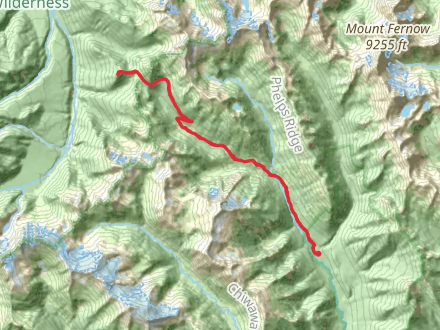
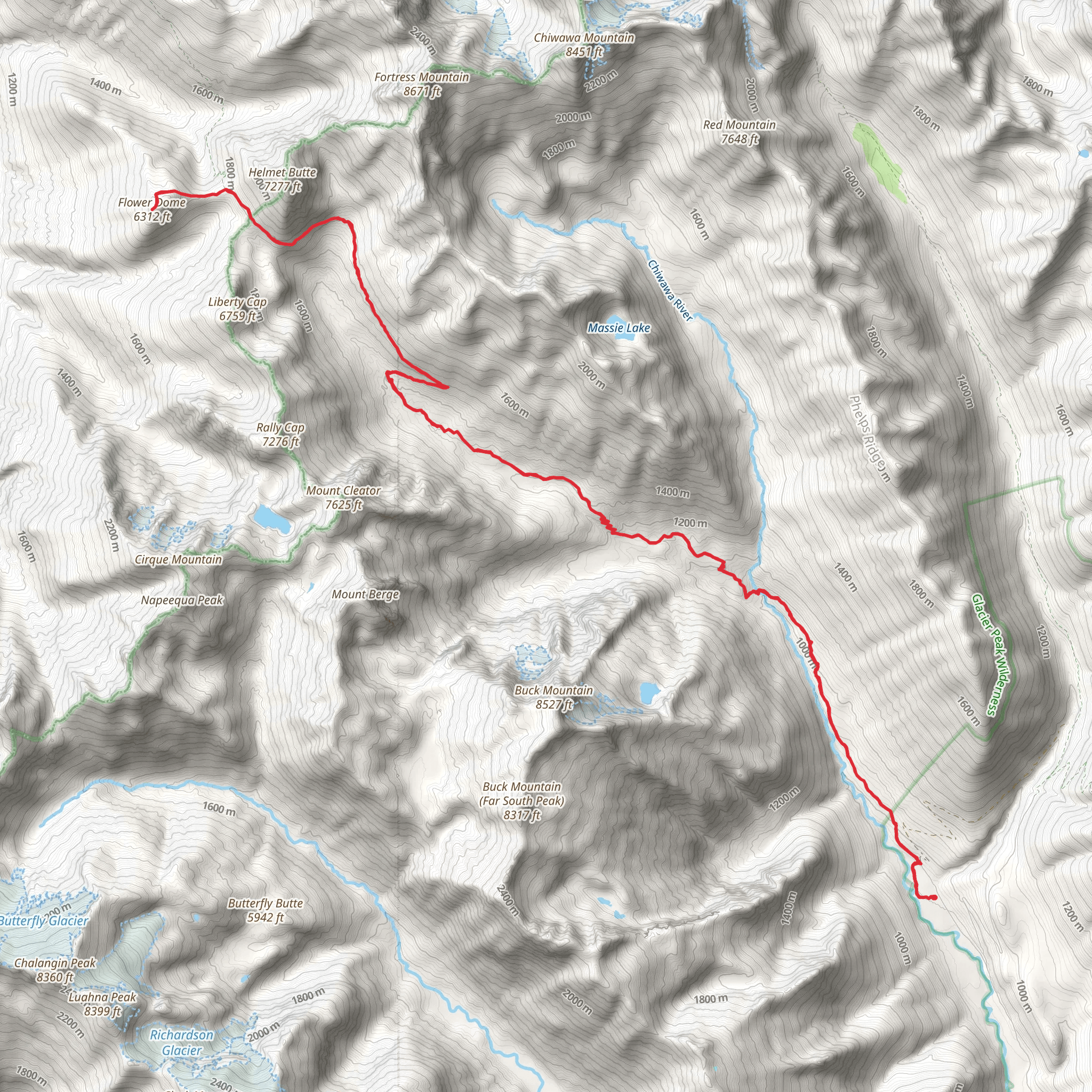
Starting near Chelan County, Washington, the Flower Dome via Buck Creek Trail is an out-and-back trail that spans approximately 37 kilometers (23 miles) with an elevation gain of around 1800 meters (5905 feet). This trail is rated as medium difficulty, making it suitable for hikers with some experience.
Getting There To reach the trailhead, you can drive or use public transportation. If driving, head towards the town of Leavenworth, Washington. From there, take the Chiwawa River Road for about 22 miles until you reach the Buck Creek Trailhead. For those using public transport, the nearest significant landmark is the town of Leavenworth, which is accessible by bus or train from Seattle. From Leavenworth, you may need to arrange a taxi or rideshare to the trailhead.
Trail Overview The trail begins at the Buck Creek Trailhead, located near the Chiwawa River. The initial section of the trail is relatively gentle, winding through dense forests of Douglas fir and western hemlock. After about 5 kilometers (3.1 miles), you will start to notice a gradual increase in elevation as the trail begins to climb.
Significant Landmarks and Nature At around the 8-kilometer (5-mile) mark, you will come across the first significant landmark, the Buck Creek Campground. This is a good spot to take a break and refill your water bottles from the nearby creek. Continuing on, the trail becomes steeper and more challenging, with switchbacks that offer stunning views of the surrounding mountains.
Wildlife and Flora As you ascend, keep an eye out for local wildlife such as black bears, deer, and various bird species. The area is also rich in wildflowers, especially during the late spring and early summer months. Look for lupines, Indian paintbrush, and columbines along the trail.
Historical Significance The region has a rich history, with the trail passing through areas that were once used by Native American tribes for hunting and gathering. In the late 19th and early 20th centuries, the area saw an influx of miners searching for gold and other minerals. Remnants of old mining equipment can still be found along the trail, adding a historical dimension to your hike.
Reaching Flower Dome The final push to Flower Dome is the most strenuous part of the hike, with a steep ascent over the last 3 kilometers (1.9 miles). However, the effort is well worth it. At the summit, you are rewarded with panoramic views of the Glacier Peak Wilderness, including Glacier Peak itself. The dome is aptly named for its abundance of wildflowers, which create a colorful tapestry against the rugged mountain backdrop.
Navigation and Safety Given the trail's length and elevation gain, it's crucial to be well-prepared. Make sure to bring a detailed map and consider using the HiiKER app for real-time navigation and updates. Weather conditions can change rapidly, so pack layers and be prepared for sudden temperature drops, especially at higher elevations.
Return Journey The return journey follows the same path back to the Buck Creek Trailhead. While descending, take the opportunity to enjoy the views you may have missed on the way up. The descent is generally easier but still requires caution, especially on the steeper sections.
This trail offers a mix of natural beauty, historical intrigue, and physical challenge, making it a rewarding experience for those who undertake it.
What to expect?
Activity types
Comments and Reviews
User comments, reviews and discussions about the Flower Dome via Buck Creek Trail, Washington.
4.59
average rating out of 5
17 rating(s)
