Download
Preview
Add to list
More
3.8 km
~46 min
15 m
Loop
“The Tapteal and Hall Road Loop Trail offers an accessible, scenic 4 km hike rich in nature and history.”
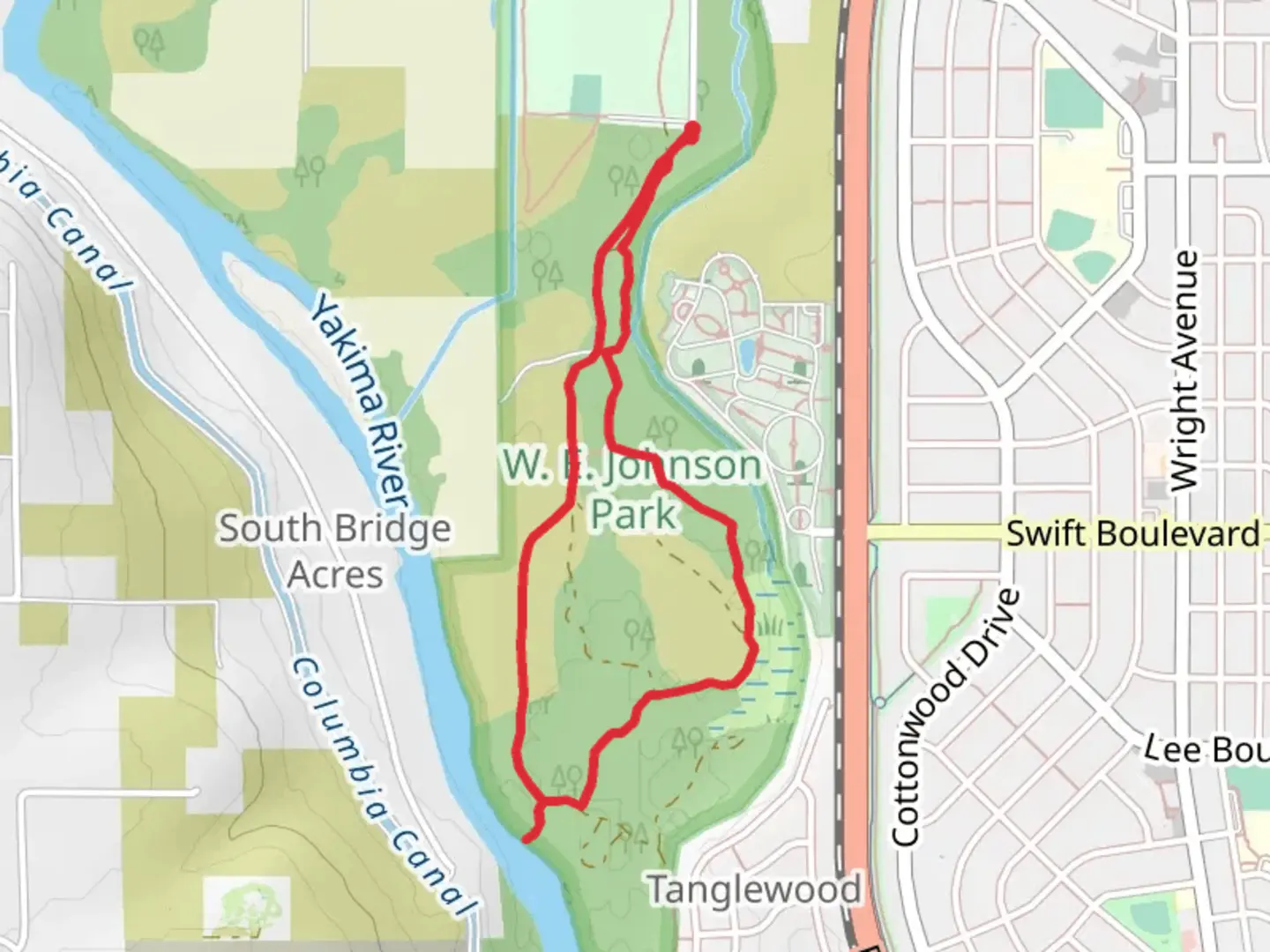
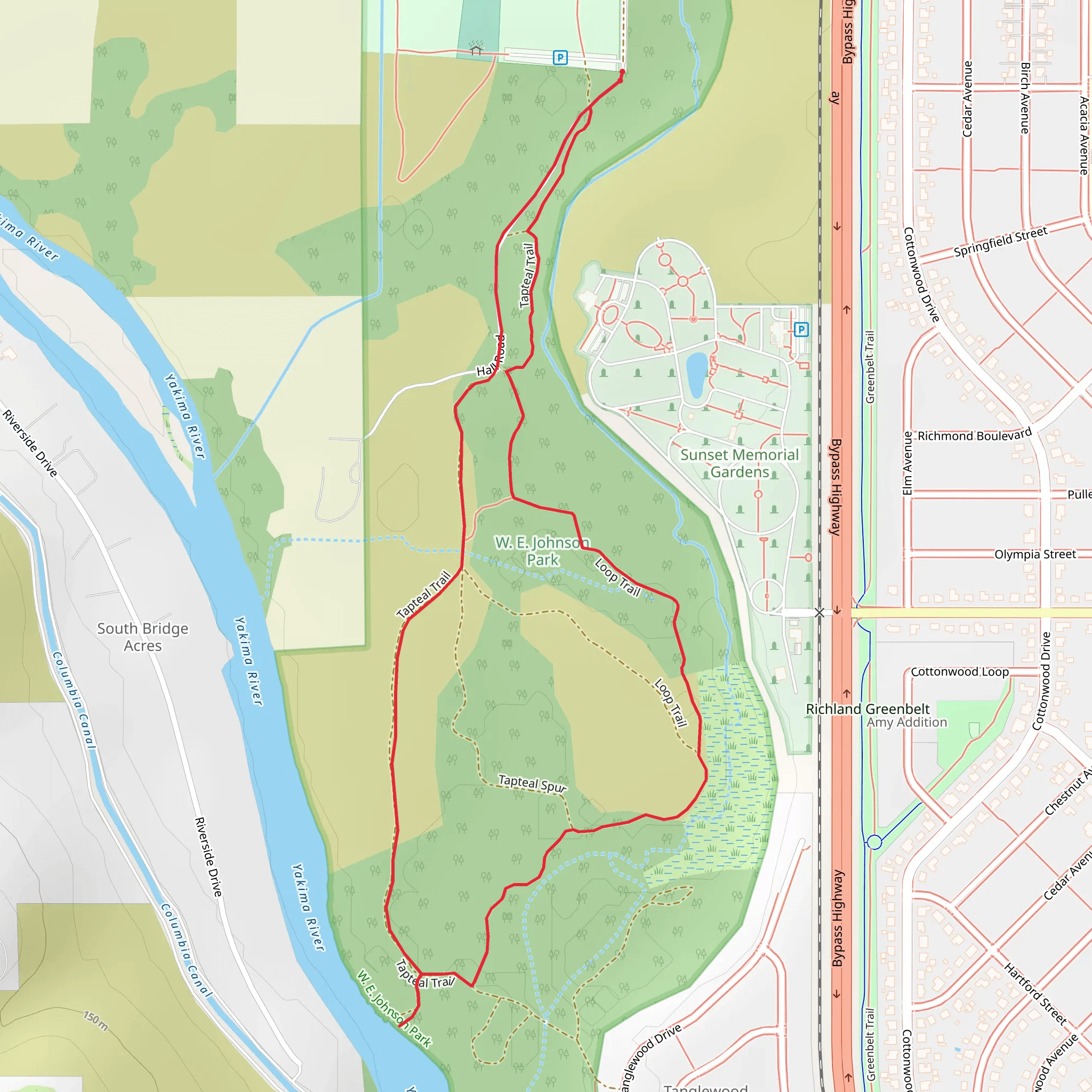
Starting your hike near Benton County, Washington, the Tapteal and Hall Road Loop Trail offers a delightful 4 km (approximately 2.5 miles) journey with virtually no elevation gain, making it accessible for a wide range of hikers. The trailhead is conveniently located near the Chamna Natural Preserve, a well-known landmark in the area.
Getting There If you're driving, you can park at the Chamna Natural Preserve parking lot. For those using public transport, the nearest bus stop is at the intersection of Columbia Park Trail and Aaron Drive, which is about a 15-minute walk to the trailhead.
Trail Overview The Tapteal and Hall Road Loop Trail is a loop trail, meaning you'll start and end at the same point, making logistics simpler. The trail is rated as medium difficulty, primarily due to its length rather than any challenging terrain, as the elevation gain is negligible.
Key Landmarks and Points of Interest As you embark on this trail, you'll traverse through a variety of landscapes, including riparian zones, shrub-steppe, and open meadows. One of the first significant landmarks you'll encounter is the Yakima River, which runs parallel to a portion of the trail. This river is not only a beautiful sight but also a habitat for various species of fish and birds.
Flora and Fauna The Chamna Natural Preserve is home to a diverse range of plant and animal life. Keep an eye out for mule deer, beavers, and a variety of bird species such as hawks and herons. The flora includes native grasses, sagebrush, and wildflowers, especially vibrant in the spring and early summer.
Historical Significance The area around the Tapteal and Hall Road Loop Trail has a rich history. It was originally inhabited by the Wanapum, Yakama, and Walla Walla tribes. The Yakima River was a crucial resource for these communities, providing water, food, and transportation routes. As you hike, you might come across interpretive signs that offer more insights into the historical and cultural significance of the region.
Navigation For navigation, it's highly recommended to use HiiKER, which provides detailed maps and real-time updates. The trail is well-marked, but having a reliable navigation tool can enhance your hiking experience and ensure you stay on track.
Final Stretch As you near the end of the loop, you'll find yourself back at the Chamna Natural Preserve parking lot. This is a great spot to relax and reflect on your hike, perhaps even enjoying a picnic by the Yakima River.
This trail offers a perfect blend of natural beauty, wildlife, and historical context, making it a rewarding experience for any hiker.
What to expect?
Activity types
Comments and Reviews
User comments, reviews and discussions about the Tapteal and Hall Road Loop Trail, Washington.
4.44
average rating out of 5
18 rating(s)
