Download
Preview
Add to list
More
2.6 km
~1 hrs 4 min
333 m
Out and Back
“Enjoy a moderately challenging 3 km hike with stunning views and rich history near Benton County, Washington.”
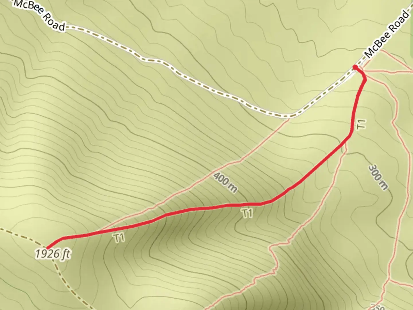
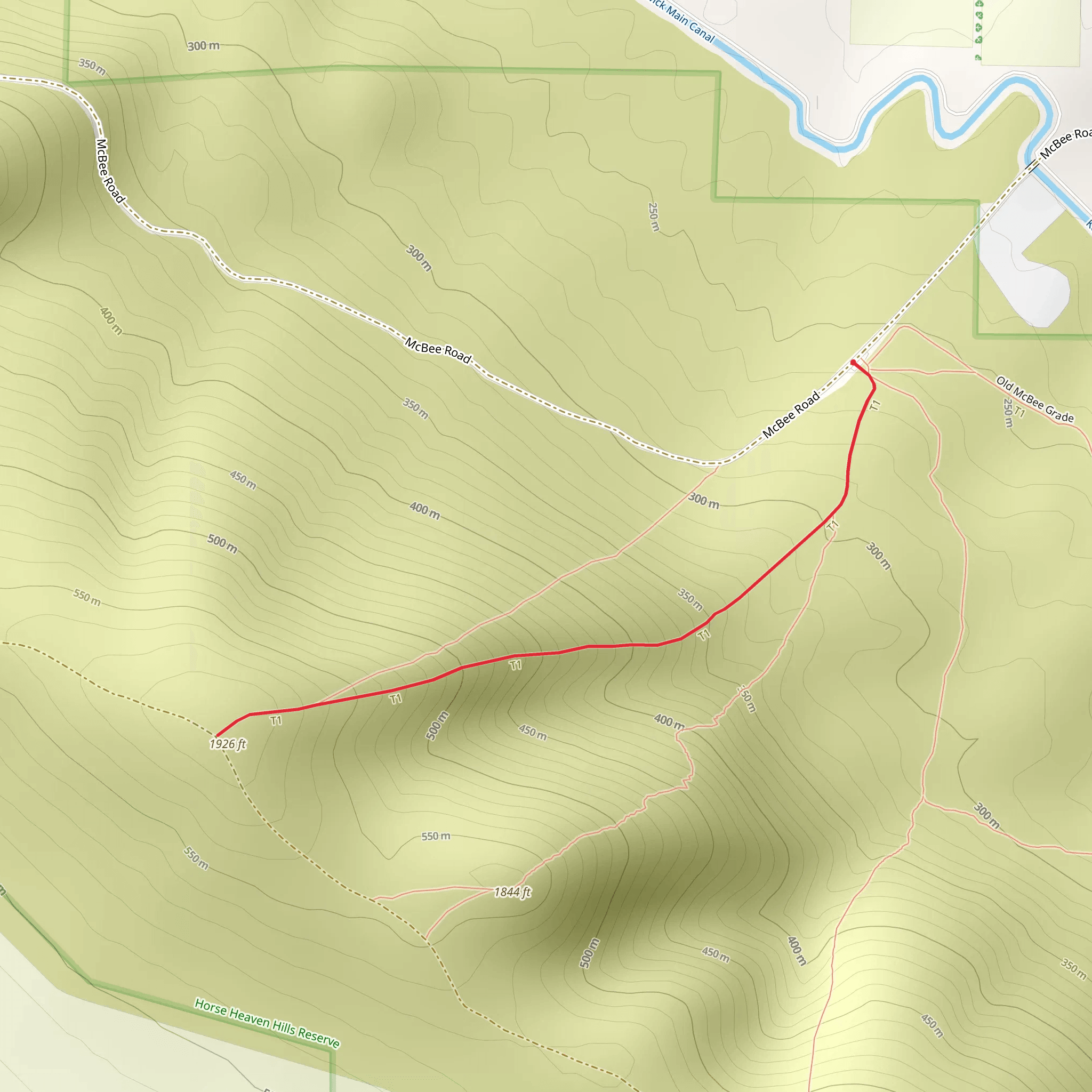
Starting near Benton County, Washington, this 3 km (1.86 miles) out-and-back trail offers a moderate challenge with an elevation gain of approximately 300 meters (984 feet). The trailhead is conveniently located near the intersection of McBee Road and State Route 240, making it accessible by car. For those relying on public transport, the nearest bus stop is at the intersection of State Route 240 and Twin Bridges Road, from where you can walk to the trailhead.
Trail Overview
The Mc Bee Road Hill - West trail begins with a gentle ascent, gradually increasing in steepness as you progress. The initial section is relatively straightforward, with a well-marked path that winds through a mix of open terrain and sparse shrubland. As you climb, you'll notice the landscape transitioning to more rugged terrain, characterized by basalt rock formations and scattered sagebrush.
Key Landmarks and Points of Interest
At approximately 1 km (0.62 miles) into the hike, you'll encounter a small plateau offering panoramic views of the surrounding Benton County. This is an excellent spot for a short break and some photography. Continuing onward, the trail becomes steeper, and you'll gain most of the elevation in the next 1.5 km (0.93 miles).
Flora and Fauna
The area is home to a variety of wildlife, including mule deer, coyotes, and a range of bird species such as hawks and eagles. The flora is typical of the shrub-steppe ecosystem, with sagebrush, bitterbrush, and various grasses dominating the landscape. Springtime hikers will be treated to a display of wildflowers, including lupines and balsamroots.
Historical Significance
Benton County has a rich history, particularly related to the Hanford Site, a decommissioned nuclear production complex. While the trail itself does not pass through any historical landmarks, the region's history adds an intriguing backdrop to your hike. The nearby Columbia River also played a significant role in the area's development, serving as a vital waterway for Native American tribes and early settlers.
Navigation and Safety
Given the moderate difficulty of the trail, it's advisable to use a reliable navigation tool like HiiKER to stay on track. The trail is well-marked, but the rugged terrain and elevation gain can be challenging, especially for less experienced hikers. Ensure you have adequate water, sun protection, and sturdy footwear.
Getting There
If driving, take State Route 240 and turn onto McBee Road. There is limited parking available near the trailhead, so arriving early is recommended. For those using public transport, the nearest bus stop is at the intersection of State Route 240 and Twin Bridges Road. From there, it's a short walk to the trailhead.
Prepare adequately, respect the natural environment, and enjoy the diverse landscapes and rich history that the Mc Bee Road Hill - West trail has to offer.
What to expect?
Activity types
Comments and Reviews
User comments, reviews and discussions about the Mc Bee Road Hill - West, Washington.
4.53
average rating out of 5
15 rating(s)
