Download
Preview
Add to list
More
8.9 km
~2 hrs 10 min
228 m
Out and Back
“Explore the Hanford Reach North Trail for stunning views, historical intrigue, and a moderately challenging hike.”
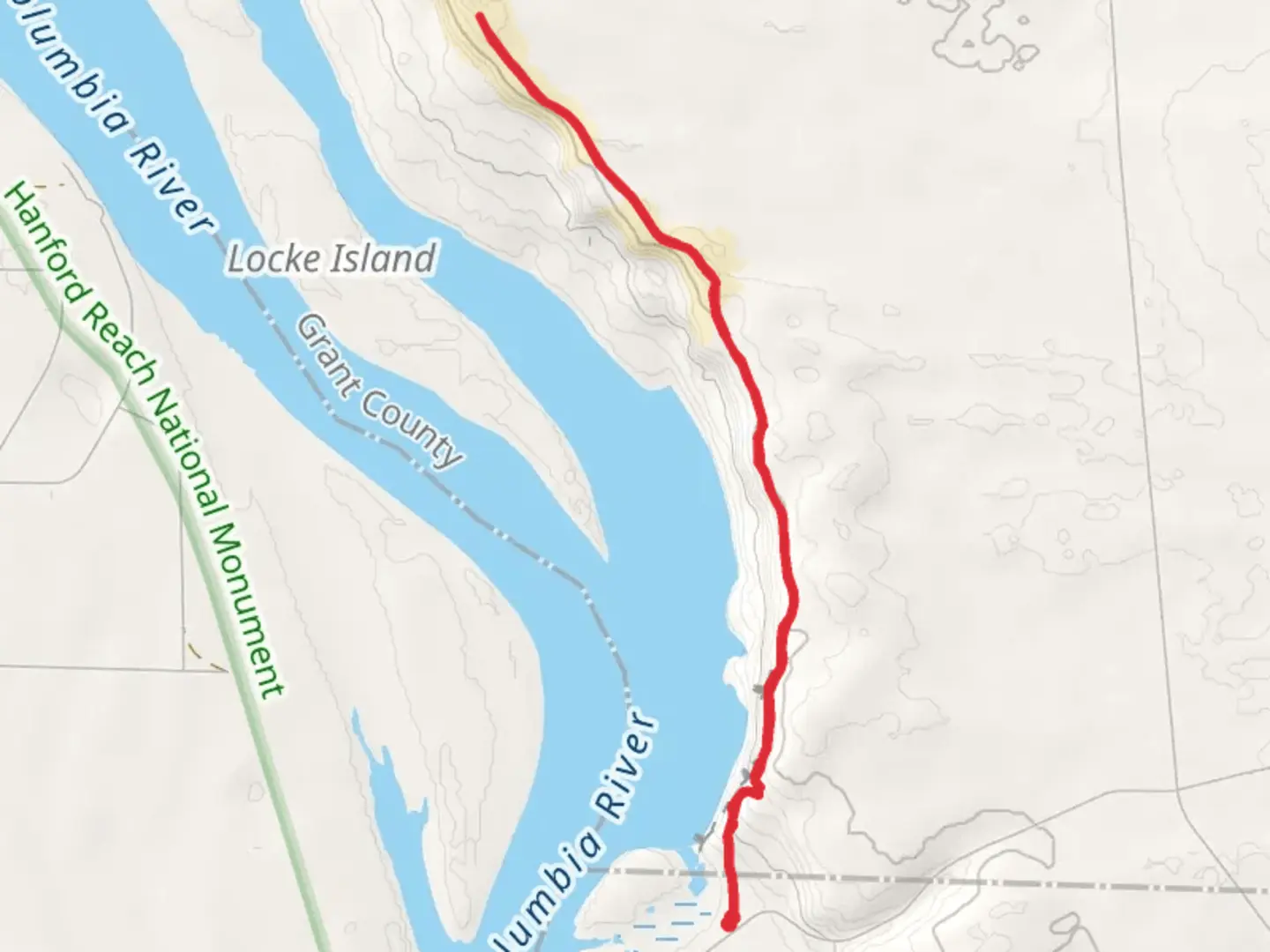
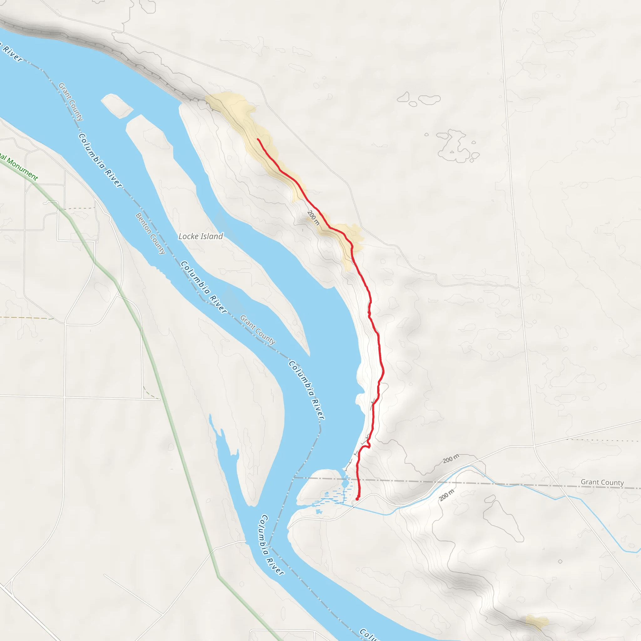
Starting near Benton County, Washington, the Hanford Reach North Trail offers a captivating 9 km (5.6 miles) out-and-back journey with an elevation gain of approximately 200 meters (656 feet). This trail is rated as medium difficulty, making it suitable for moderately experienced hikers.
Getting There To reach the trailhead, you can drive or use public transportation. If driving, head towards the nearest significant landmark, the Hanford Reach National Monument. From there, follow the signs to the trailhead parking area. For those using public transport, the nearest bus stop is in Richland, Washington. From Richland, you can take a taxi or rideshare service to the trailhead.
Trail Overview The trail begins with a gentle ascent, gradually increasing in elevation as you move deeper into the landscape. The initial 1.5 km (0.9 miles) is relatively flat, making it a good warm-up stretch. As you progress, the terrain becomes more rugged, with a mix of sandy paths and rocky outcrops.
Significant Landmarks and Nature Around the 3 km (1.8 miles) mark, you'll encounter the first significant landmark: the White Bluffs. These striking cliffs are composed of ancient sedimentary rock and offer panoramic views of the Columbia River. The White Bluffs are not only a visual treat but also a geological wonder, providing insight into the region's ancient past.
Continuing along the trail, you'll come across a variety of native flora and fauna. The area is home to sagebrush, bitterbrush, and various wildflowers, especially vibrant in the spring. Wildlife enthusiasts might spot mule deer, coyotes, and a variety of bird species, including hawks and eagles.
Historical Significance The Hanford Reach area holds significant historical importance. During World War II, this region was part of the Hanford Site, a key location for the Manhattan Project. Remnants of this era can still be seen, adding a layer of historical intrigue to your hike. Interpretive signs along the trail provide information about the site's role in the development of nuclear technology.
Navigation and Safety Given the trail's moderate difficulty, it's advisable to use a reliable navigation tool like HiiKER to stay on track. The trail is well-marked, but having a digital map can be invaluable, especially in areas where the path becomes less distinct.
Final Stretch The final 2 km (1.2 miles) of the trail involve a steady climb, leading to a high vantage point overlooking the Columbia River. This section can be challenging due to loose rocks and steeper inclines, so take your time and ensure you have sturdy footwear.
Return Journey The return journey retraces your steps, offering a different perspective on the landscape. The descent is generally easier, but remain cautious on the rocky sections to avoid slips and falls.
This trail provides a balanced mix of natural beauty, wildlife, and historical significance, making it a rewarding experience for those who undertake it.
What to expect?
Activity types
Comments and Reviews
User comments, reviews and discussions about the Hanford Reach North Trail, Washington.
4.31
average rating out of 5
16 rating(s)
