Download
Preview
Add to list
More
6.7 km
~1 hrs 50 min
298 m
Loop
“Experience diverse landscapes, wildlife, and rich history on Benton County’s moderately challenging Canyon and Sagebrush Trail loop.”
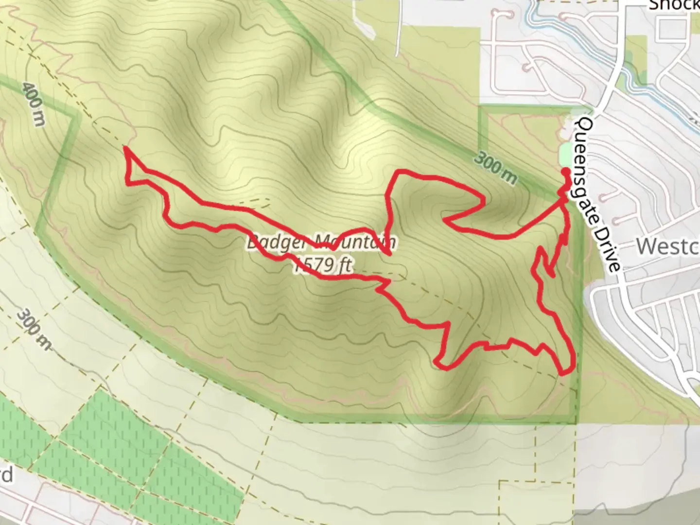
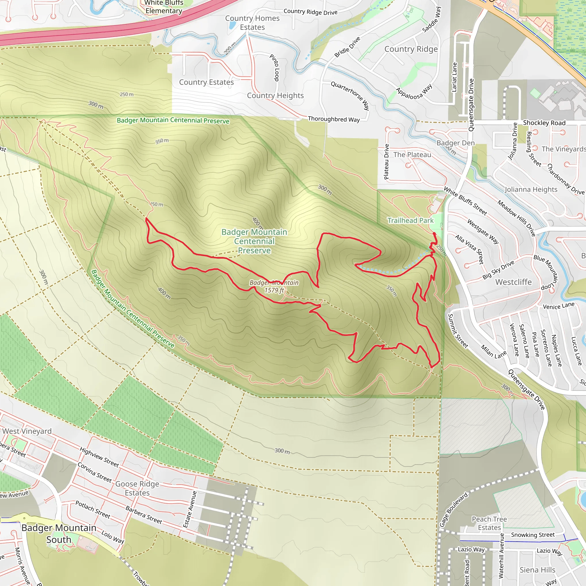
Starting your adventure near Benton County, Washington, the Canyon Trail and Sagebrush Trail loop offers a moderately challenging hike with a total distance of around 7 km (approximately 4.3 miles) and an elevation gain of about 200 meters (656 feet). This trail is perfect for those looking to experience the diverse landscapes and rich history of the region.
Getting There To reach the trailhead, you can drive or use public transportation. If driving, head towards Benton County and look for the trailhead near the Horn Rapids Park area. For those using public transport, the nearest significant landmark is the Benton City Park and Ride, from where you can take a local taxi or rideshare service to the trailhead.
Trail Overview The loop begins with a gentle ascent, offering panoramic views of the surrounding sagebrush-dominated landscape. As you progress, the trail meanders through a series of canyons, providing a mix of open vistas and more enclosed, intimate sections. The elevation gain is gradual, making it accessible for hikers with a moderate level of fitness.
Key Landmarks and Points of Interest - **Horn Rapids Dam**: Approximately 1.5 km (0.9 miles) into the hike, you will encounter the Horn Rapids Dam. This historical structure, built in the early 20th century, played a significant role in the region's agricultural development by providing essential irrigation. - **Wildlife Viewing**: The area is home to a variety of wildlife, including mule deer, coyotes, and numerous bird species. Keep an eye out for red-tailed hawks and golden eagles soaring above the canyons. - **Geological Features**: The trail offers a fascinating glimpse into the geological history of the region. Look for exposed basalt formations and ancient lava flows that tell the story of the area's volcanic past.
Navigation and Safety Using HiiKER for navigation is highly recommended to ensure you stay on track. The trail is well-marked, but having a reliable navigation tool can provide peace of mind. Be sure to carry enough water, especially during the hotter months, as the arid environment can lead to dehydration quickly.
Flora and Fauna The trail is named for the abundant sagebrush that characterizes the landscape. In spring, the area comes alive with wildflowers such as lupine and balsamroot, adding vibrant splashes of color to the otherwise muted palette. The diverse plant life supports a range of insects and small mammals, making it a dynamic ecosystem to observe.
Historical Significance The region around Benton County has a rich history, with evidence of Native American habitation dating back thousands of years. The Yakama Nation, in particular, has deep cultural ties to the land. As you hike, consider the historical significance of the trails you tread, which were once pathways for indigenous peoples and early settlers alike.
Final Stretch As you near the end of the loop, the trail descends gently back towards the trailhead, offering a final opportunity to take in the sweeping views of the Columbia Basin. The last kilometer (0.6 miles) is relatively flat, providing a leisurely end to your hike.
This trail offers a well-rounded experience, combining natural beauty, wildlife, and historical context, making it a must-visit for any hiking enthusiast exploring the Benton County area.
What to expect?
Activity types
Comments and Reviews
User comments, reviews and discussions about the Canyon Trail and Sagebrush Trail, Washington.
4.38
average rating out of 5
8 rating(s)
