Download
Preview
Add to list
More
10.8 km
~2 hrs 24 min
153 m
Loop
“Explore the South Fork Shenandoah River and Ox Bow Lake Loop, a journey through history and natural splendor.”
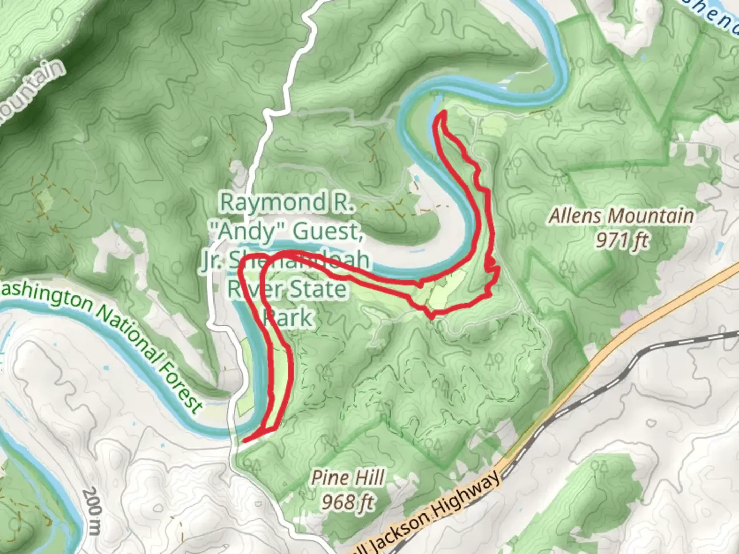
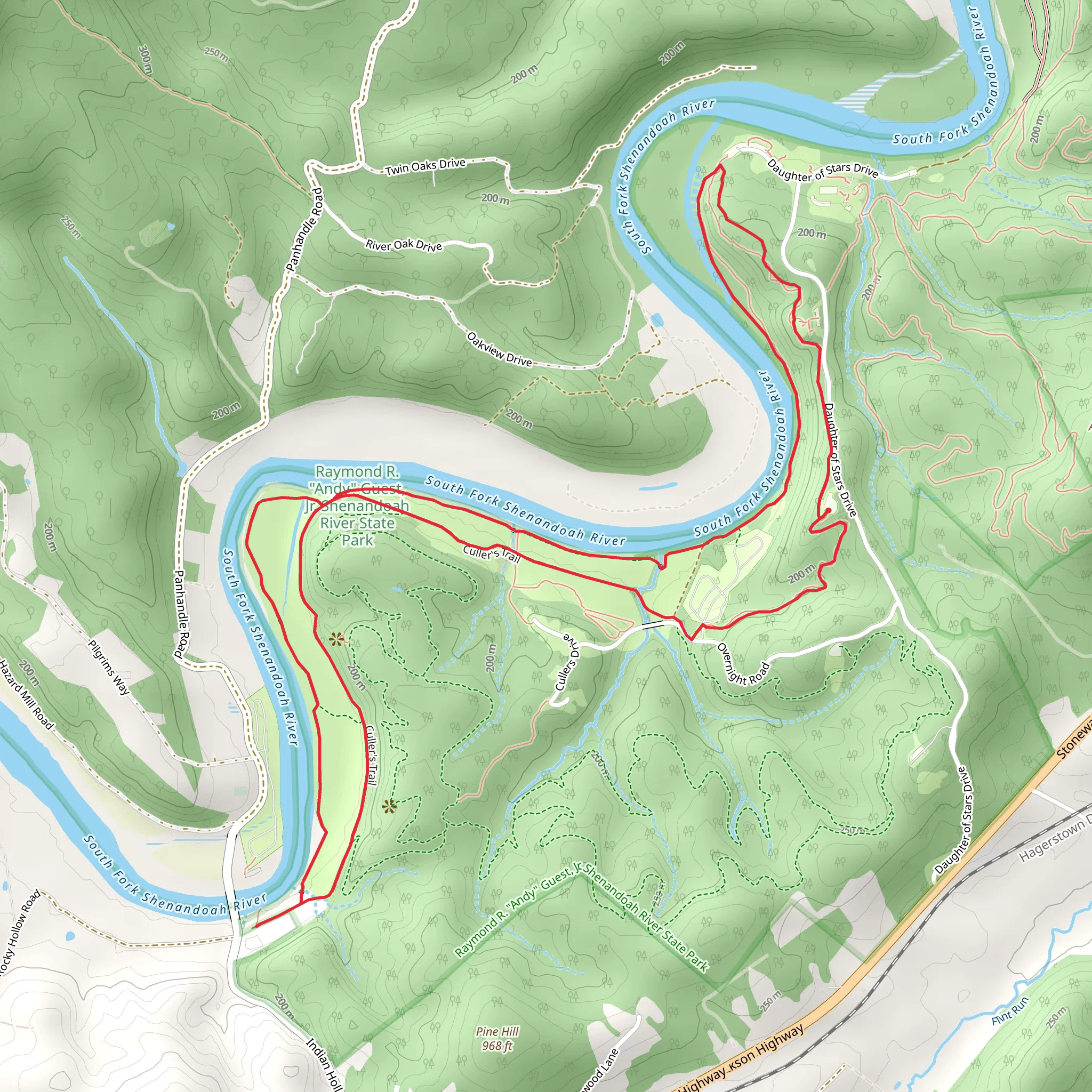
Nestled near Warren County, Virginia, the South Fork Shenandoah River and Ox Bow Lake Loop is a scenic trail that offers hikers an immersive experience in the natural beauty of the Shenandoah Valley. Spanning approximately 11 kilometers (about 6.8 miles) with an elevation gain of around 100 meters (328 feet), this loop trail is considered to have a medium difficulty rating, making it accessible to hikers with a moderate level of fitness.Getting to the TrailheadTo reach the trailhead, hikers can drive to the designated parking area near Warren County. For those relying on public transportation, the nearest bus stops or transit services should be checked for the closest access point to the trailhead, followed by a possible taxi ride or a bike trip to reach the starting point.Navigating the TrailOnce at the trailhead, hikers can begin their journey on the well-marked path. It's advisable to use a navigation tool like HiiKER to stay on track, as the loop can have several offshoots that lead to other trails in the area. The trail meanders along the South Fork of the Shenandoah River, offering picturesque views of the water and the surrounding forest.Natural Features and WildlifeAs you progress along the trail, you'll be treated to the sights and sounds of the river, as well as the tranquil Ox Bow Lake. The area is rich in biodiversity, with opportunities to spot local wildlife such as white-tailed deer, black bears, and a variety of bird species, including the pileated woodpecker and the bald eagle. The mixed hardwood forest is home to oak, hickory, and maple trees, which provide a colorful display in the fall.Historical SignificanceThe Shenandoah Valley is steeped in history, with the river itself playing a significant role during the Civil War. The region was a strategic location due to its fertile land and the transportation routes provided by the river. Hikers with an interest in history may appreciate knowing that they are walking in an area that has witnessed significant historical events.Trail Highlights and LandmarksApproximately halfway through the hike, the trail reaches a vantage point where hikers can enjoy panoramic views of the river bending through the valley, creating the "ox bow" shape from which the lake gets its name. This is an ideal spot for a rest or a picnic.The loop continues to wind through the forest, with gentle inclines and declines throughout. The elevation gain is gradual, making the 100 meters ascent feel less strenuous than one might expect.Preparation and PlanningBefore setting out, hikers should ensure they have adequate water, as there are limited sources along the trail. It's also wise to pack snacks or a lunch, especially if planning to enjoy a break at one of the scenic overlooks. Sturdy hiking boots are recommended due to the varied terrain, which can include rocky sections and potentially muddy areas after rain.Seasonal ConsiderationsThe trail is accessible year-round, but each season offers a different experience. Spring brings wildflowers and budding trees, summer is lush and green, fall provides a spectacular display of autumn colors, and winter can be magical with snow-covered landscapes, though hikers should be prepared for colder temperatures and potentially icy conditions.By taking into account these details and planning accordingly, hikers can fully enjoy the natural beauty and historical richness of the South Fork Shenandoah River and Ox Bow Lake Loop.
What to expect?
Activity types
Comments and Reviews
User comments, reviews and discussions about the South Fork Shenandoah River and Ox Bow Lake Loop, Virginia.
4.52
average rating out of 5
21 rating(s)
