Download
Preview
Add to list
More
24.5 km
~1 day 0 hrs
119 m
Point-to-Point
“Embark on a historic and picturesque journey along Virginia's accessible High Bridge Trail.”
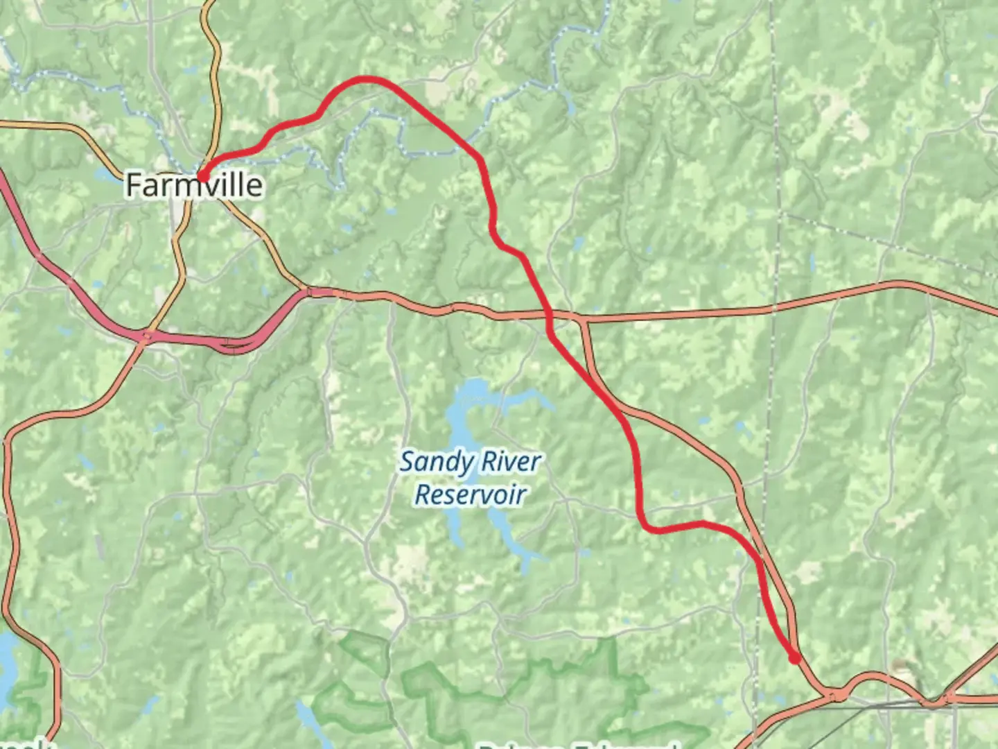
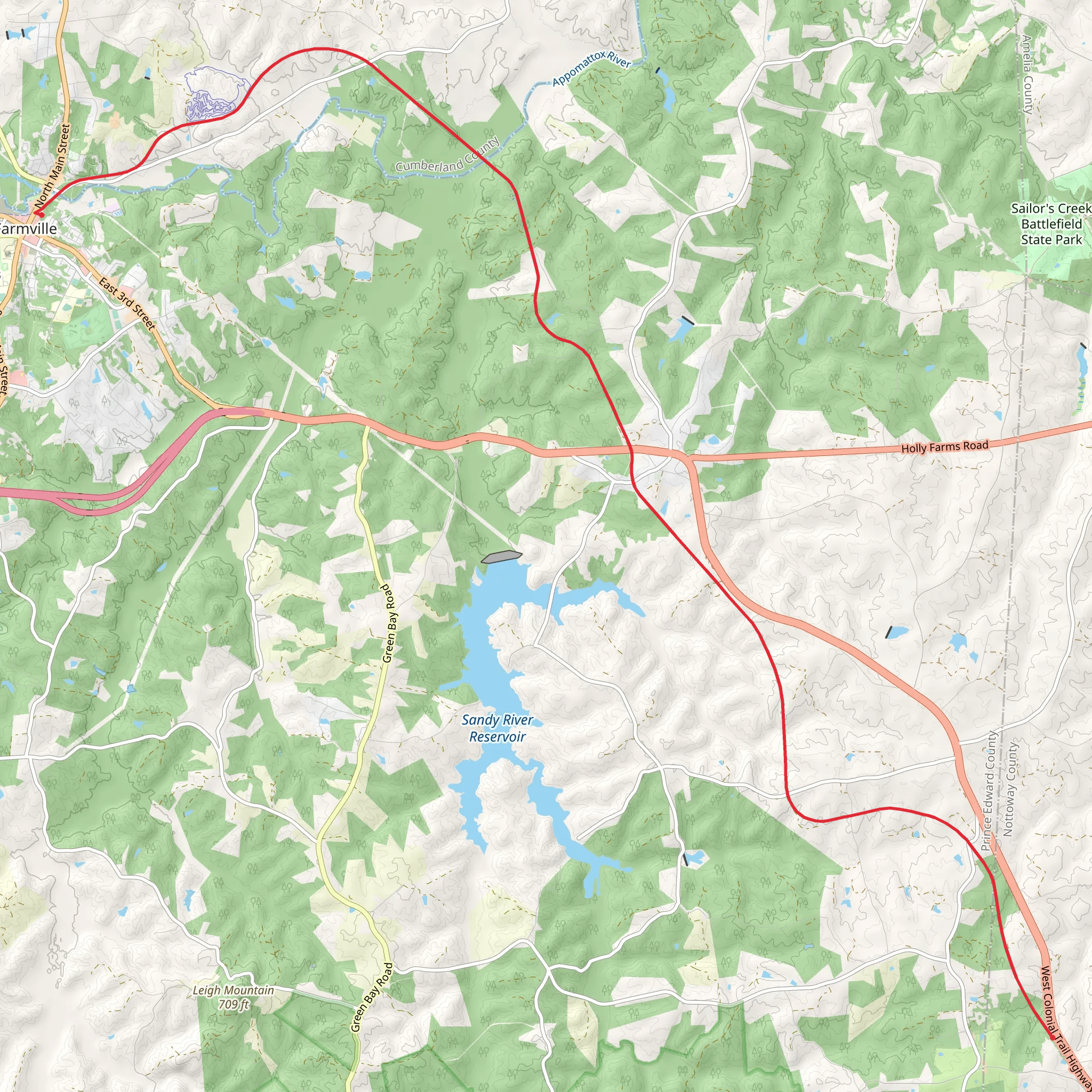
The High Bridge Trail is a scenic multi-use path stretching approximately 24 kilometers (about 15 miles) and featuring a gentle elevation gain of roughly 100 meters (328 feet), making it accessible for hikers of varying abilities. This point-to-point trail is nestled near Prince Edward County, Virginia, and is known for its historical significance and natural beauty.
Getting to the Trailhead
To reach the trailhead, hikers can drive to a parking area close to the town of Farmville, Virginia. For those relying on public transportation, options may be limited, but the nearest significant town with bus services is Farmville. From there, a taxi or bike ride can get you to the trailhead. The starting point is conveniently located near the intersection of Main Street and River Road, just outside of Farmville.
Trail Experience
As you embark on the High Bridge Trail, you'll find the path well-maintained and primarily flat, making it a comfortable trek for most. The trail is built on a historic rail bed, so the surface is largely crushed stone and easy to navigate. Hikers should download the HiiKER app for detailed maps and navigation assistance, ensuring a smooth journey.
Historical Significance
One of the trail's highlights is the majestic High Bridge, after which the trail is named. This bridge stands as a monument to 19th-century engineering and was a critical structure during the American Civil War. It played a significant role in the final days of the conflict, with the Battle of High Bridge occurring nearby. As you cross this impressive 2,400-foot-long (731 meters) bridge, you're walking through a piece of history, with expansive views of the Appomattox River below.
Flora and Fauna
The trail offers an opportunity to observe the diverse wildlife of the region, including white-tailed deer, squirrels, and a variety of bird species. The surrounding forests and fields come alive with wildflowers in the spring and summer, while autumn brings a stunning display of fall foliage. The mixed hardwood and pine forests provide a serene backdrop for your hike.
Landmarks and Points of Interest
Approximately halfway through the trail, hikers will reach the actual High Bridge, which is about 12 kilometers (7.5 miles) from the starting point. This is an ideal spot to take a break and enjoy the panoramic views. The trail also features several interpretive signs that provide insights into the area's history and the natural environment.
Preparation and Planning
Before setting out, hikers should prepare for a medium-difficulty hike, although the trail's flat nature makes it more accessible than many others with a similar rating. It's important to carry enough water and snacks, as there are limited facilities along the route. Wearing comfortable footwear is recommended due to the trail's crushed stone surface.
Weather and Safety
The trail is open year-round, but it's essential to check the weather forecast before your hike. Virginia's climate can be hot and humid in the summer, so early morning or late afternoon hikes are advisable to avoid the heat. In winter, the trail can be cold and windy, especially on the bridge, so dress in layers.
Conclusion
By following these guidelines and preparing accordingly, hikers can enjoy a memorable experience on the High Bridge Trail, taking in the historical significance and natural beauty that this unique path has to offer.
What to expect?
Activity types
Comments and Reviews
User comments, reviews and discussions about the High Bridge Trail, Virginia.
4.39
average rating out of 5
28 rating(s)
