Download
Preview
Add to list
More
26.5 km
~1 day 2 hrs
1478 m
Out and Back
“This 27 km trail near Pearisburg, VA, offers challenging hikes, stunning views, and rich historical significance.”
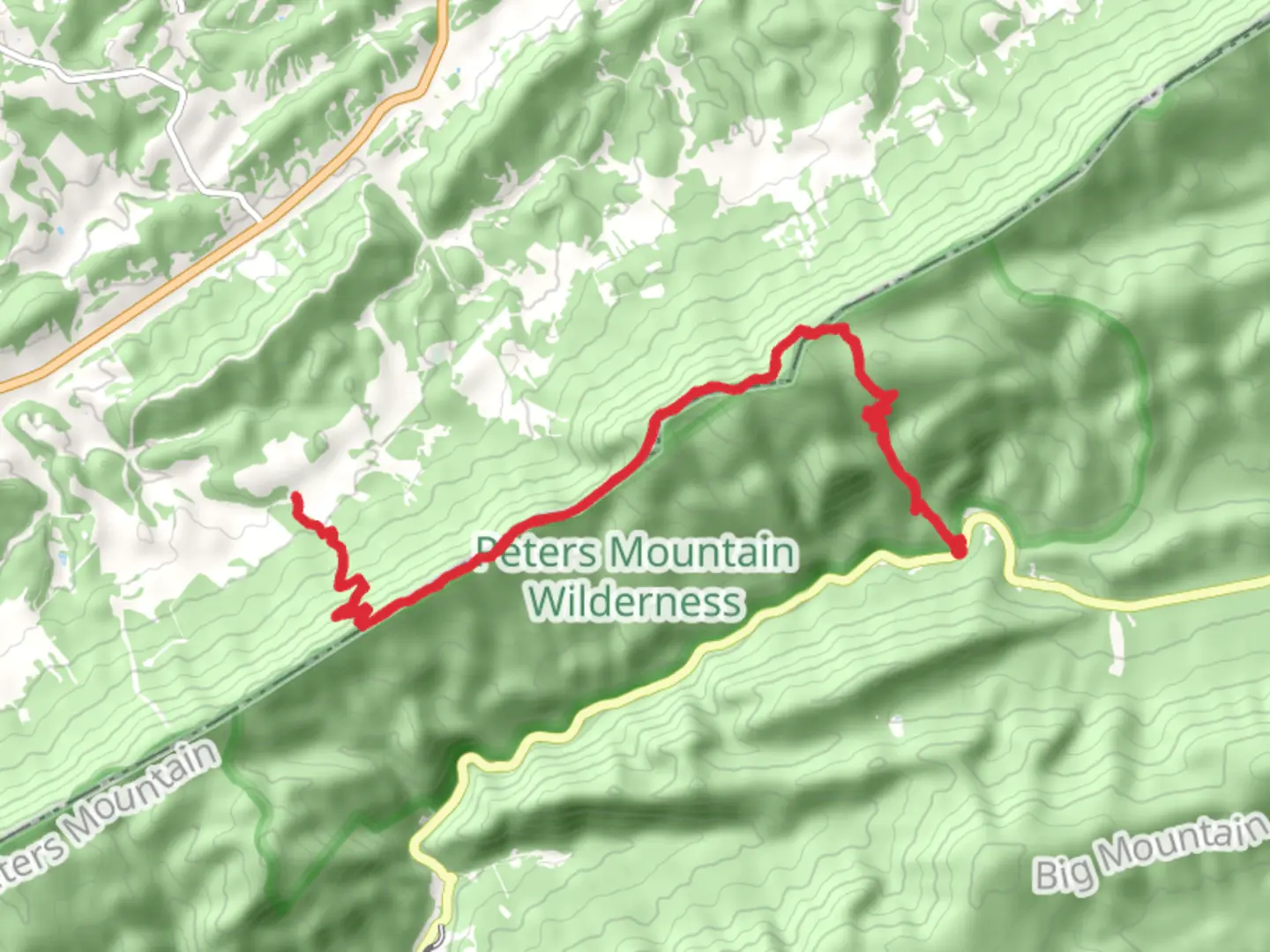
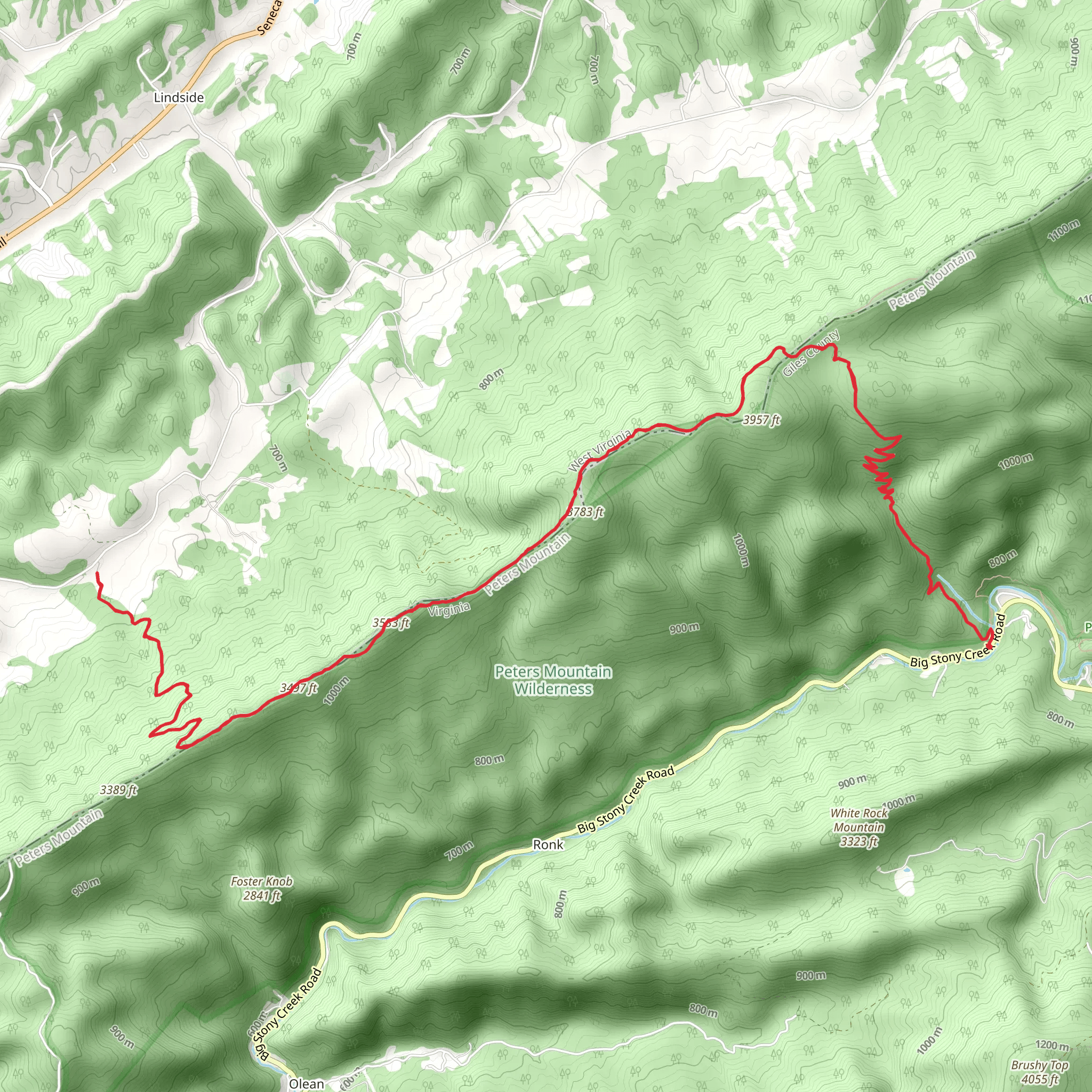
Starting near Giles County, Virginia, this 27 km (approximately 16.8 miles) out-and-back trail offers a moderately challenging hike with an elevation gain of around 1400 meters (about 4593 feet). The trailhead is accessible by car, with the nearest significant landmark being the town of Pearisburg, VA. From Pearisburg, head southeast on VA-100 S and follow signs to the trailhead.
Initial Ascent and Terrain
The hike begins with a steady ascent through dense hardwood forests, typical of the Appalachian region. The first 5 km (3.1 miles) will see you gaining about 300 meters (984 feet) in elevation. The trail is well-marked, but it's advisable to use HiiKER for navigation to ensure you stay on track. The path can be rocky and root-laden, so sturdy hiking boots are recommended.
Dickinson Gap
At around the 8 km (5 miles) mark, you'll reach Dickinson Gap. This is a great spot to take a break and enjoy the surrounding views. The gap itself is a natural pass through the mountains, historically used by Native American tribes and early settlers. The elevation here is approximately 900 meters (2953 feet).
Wildlife and Flora
As you continue, the trail meanders through a variety of ecosystems. You might spot white-tailed deer, black bears, and a plethora of bird species, including the elusive pileated woodpecker. The flora ranges from mountain laurels and rhododendrons to towering oaks and maples. Spring and early summer bring a burst of wildflowers, making this a particularly scenic time to hike.
Groundhog Trail Junction
At around the 13 km (8 miles) mark, you'll reach the junction with the Groundhog Trail. This section is known for its rugged terrain and steep inclines, adding another 400 meters (1312 feet) of elevation gain over the next 4 km (2.5 miles). The trail here is narrower and more challenging, requiring careful footing and a good level of fitness.
Summit Views
The final push to the summit offers panoramic views of the surrounding Appalachian Mountains. On a clear day, you can see for miles, with vistas that include rolling hills, dense forests, and distant peaks. The summit itself is a rocky outcrop, perfect for a well-deserved rest and some memorable photos.
Historical Significance
This region is steeped in history. The Appalachian Mountains were a significant barrier to early westward expansion in the United States. The trails you hike today were once used by Native American tribes, European settlers, and Civil War soldiers. The area around Giles County has several historical markers and sites, including remnants of old homesteads and Civil War encampments.
Return Journey
The return journey follows the same path, offering a different perspective on the landscape as you descend. Be mindful of your footing, especially on the steeper sections of the Groundhog Trail and Dickinson Gap. The descent can be tough on the knees, so trekking poles might be useful.
Getting There
For those using public transport, the nearest major city is Roanoke, VA. From Roanoke, you can take a bus to Pearisburg, and then a taxi or rideshare to the trailhead. If driving, ample parking is available near the trailhead, but it's always a good idea to arrive early, especially on weekends and holidays.
This trail offers a blend of natural beauty, challenging terrain, and historical intrigue, making it a rewarding experience for any avid hiker.
What to expect?
Activity types
Comments and Reviews
User comments, reviews and discussions about the Appalachian, Dickinson Gap and Groundhog Trail, Virginia.
4.45
average rating out of 5
11 rating(s)
