Download
Preview
Add to list
More
28.7 km
~1 day 2 hrs
918 m
Out and Back
“Traverse historic Virginia woodlands on a moderately challenging 29-kilometer Appalachian Trail adventure with breathtaking vistas.”
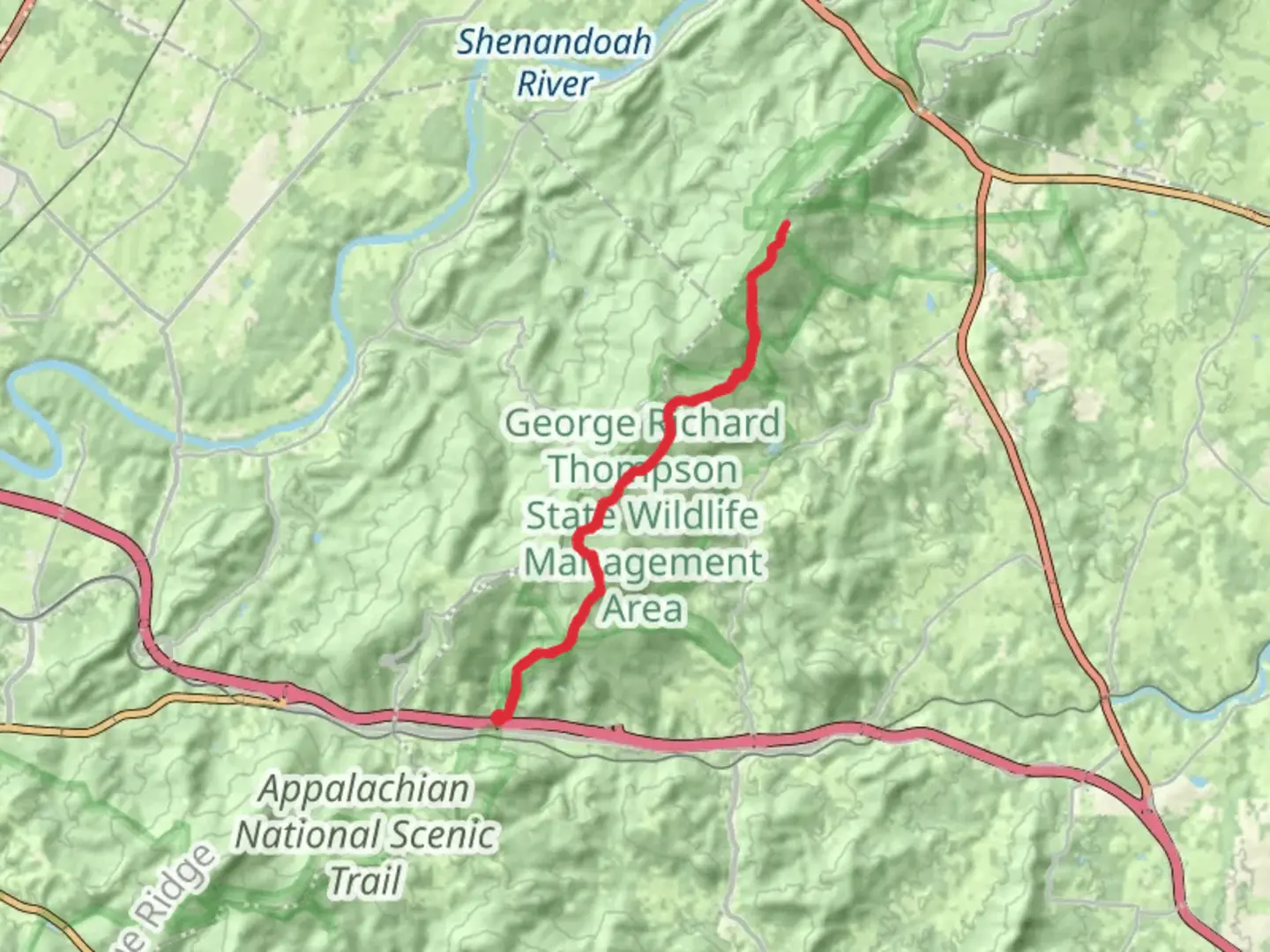
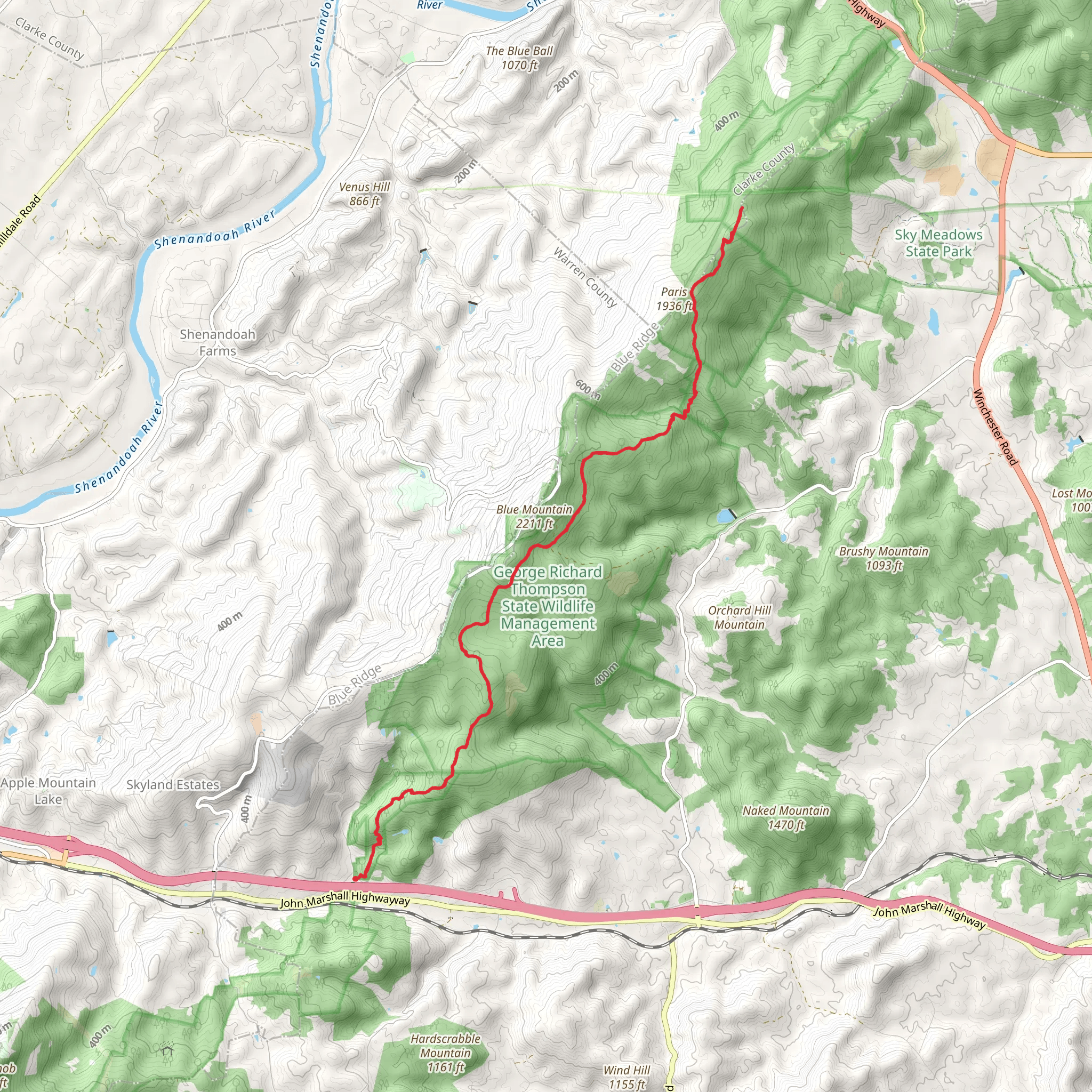
Embarking on the Appalachian Trail from Tuckers Lane, hikers will traverse approximately 29 kilometers (18 miles) of diverse landscapes with an elevation gain of around 900 meters (2950 feet). This section of the trail, rated as medium difficulty, offers a rewarding challenge for both novice and seasoned hikers alike.
Getting to the Trailhead
The trailhead is conveniently located near Fauquier County, Virginia. For those driving, parking is available in the vicinity of Tuckers Lane, where the journey begins. If opting for public transportation, hikers can take local buses that service the area and disembark at the nearest stop to Tuckers Lane, followed by a short walk to the trailhead.
The Journey Begins
Setting out from the trailhead, hikers will be greeted by the lush canopy of the Virginia woodlands. The path meanders through a mix of hardwood forests and occasional conifer stands, with the first few kilometers offering a gentle introduction before the ascent begins.
Historical Significance
As hikers progress, they will be walking a path steeped in history. The Appalachian Trail itself is a monument to conservation and outdoor recreation, established over decades. This region of Virginia has seen early colonial settlements and has tales of the Civil War etched into its landscape. Hikers may encounter historical markers and remnants of the past that offer a glimpse into the area's rich heritage.
Flora and Fauna
The trail is home to a diverse array of wildlife. Deer, black bears, and a variety of bird species can be spotted, especially during the quieter hours of dawn and dusk. The changing seasons paint the trail in different hues, with spring wildflowers, summer greens, autumn's fiery colors, and the stark beauty of winter.
Elevation and Terrain
As the trail ascends, the terrain becomes more challenging with a series of switchbacks and steeper sections. The elevation gain is spread out across the hike, but there are segments where the incline will test the hiker's endurance. It's important to pace oneself and take breaks as needed.
Landmarks and Scenic Views
Approximately halfway through the hike, at around 14.5 kilometers (9 miles), hikers will reach a vantage point offering panoramic views of the surrounding valleys and peaks. This is an ideal spot for a rest and a chance to take in the natural beauty of the Appalachian range.
Navigation
For navigation, HiiKER is an excellent tool to use on this trail. It provides detailed maps and waypoints that can help hikers stay on track and be aware of upcoming terrain changes or points of interest.
Preparation and Safety
Hikers should come prepared with adequate water, snacks, and layers to adjust for changing weather conditions. It's also wise to inform someone of your hiking plans and expected return time. Always check the weather forecast before setting out and be prepared for the trail's challenges.
Return Journey
The trail is an out-and-back route, meaning the return journey will cover the same path. This allows hikers to experience the landscape from a different perspective and catch any details they may have missed on the way up. The descent will be easier on the lungs but may be tougher on the knees, so careful footing is advised.
Remember, the Appalachian Trail is not just a hike; it's an experience that connects you with nature and history. Take your time, respect the environment, and enjoy the journey.
What to expect?
Activity types
Comments and Reviews
User comments, reviews and discussions about the Appalachian Trail from Tuckers Lane, Virginia.
4.5
average rating out of 5
14 rating(s)
