Download
Preview
Add to list
More
4.5 km
~1 hrs 4 min
113 m
Loop
“Embark on a moderately challenging 4 km loop through historic forests and scenic creeks near Fairfax County.”
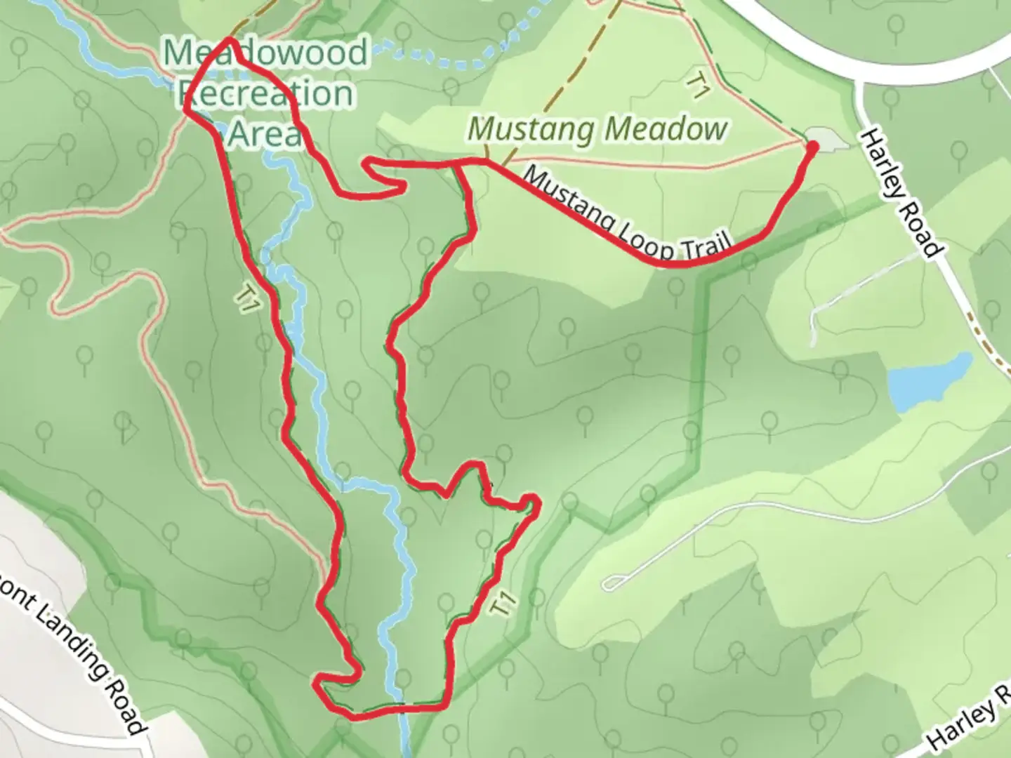
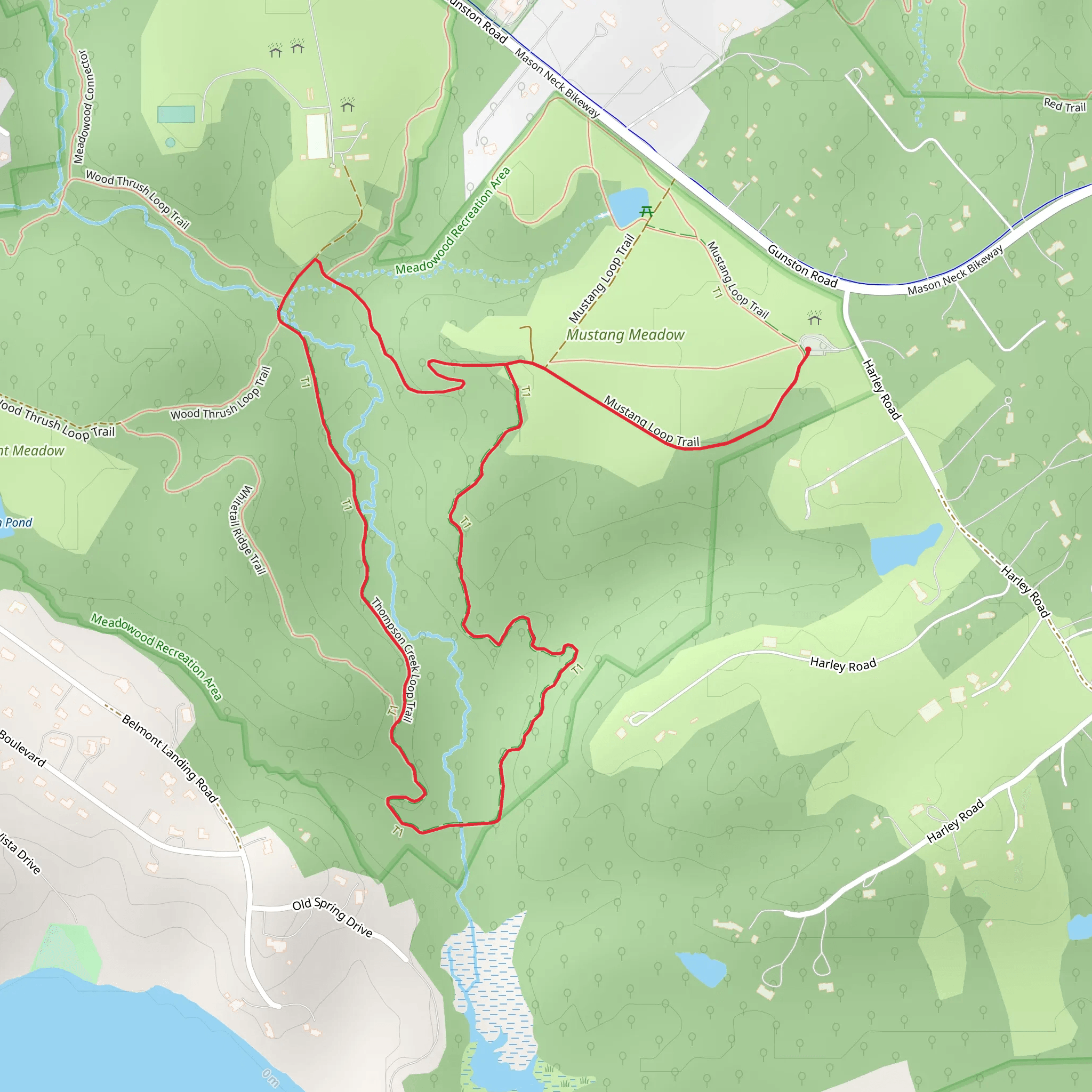
Starting near Fairfax County, Virginia, the Thompson Creek and Mustang Loop Trail offers a delightful 4 km (2.5 miles) loop with an elevation gain of approximately 100 meters (328 feet). This medium-difficulty trail is perfect for hikers looking for a moderately challenging yet rewarding experience.### Getting There To reach the trailhead, you can drive or use public transportation. If driving, set your GPS to the nearest known address: 12345 Thompson Creek Road, Fairfax County, VA. For those using public transport, take the Metro to Vienna/Fairfax-GMU Station and then catch a local bus or rideshare to the trailhead.### Trail Overview The trail begins with a gentle ascent through a mixed hardwood forest, where you'll encounter a variety of native trees such as oak, hickory, and maple. The first 0.5 km (0.3 miles) offers a relatively easy walk, making it a good warm-up for the more challenging sections ahead.### Significant Landmarks and Nature At around the 1 km (0.6 miles) mark, you'll come across Thompson Creek, a serene waterway that provides a perfect spot for a short break. The creek is home to various species of fish and amphibians, so keep an eye out for wildlife. As you continue, the trail begins to climb more steeply, gaining about 50 meters (164 feet) in elevation over the next 1.5 km (0.9 miles).### Historical Significance This area is rich in history, dating back to the early colonial period. The trail passes near several old homesteads and remnants of early American settlements. Informational plaques along the way provide insights into the lives of the early settlers and the indigenous peoples who originally inhabited the region.### Wildlife and Flora The trail is a haven for birdwatchers, with species such as the Northern Cardinal, Blue Jay, and various woodpeckers frequently spotted. In the spring and summer, the forest floor is carpeted with wildflowers like Virginia Bluebells and Trillium, adding a splash of color to your hike.### Navigation and Safety For navigation, it's highly recommended to use the HiiKER app, which provides detailed maps and real-time updates. The trail is well-marked, but having a reliable navigation tool ensures you stay on track. Be aware of the occasional muddy sections, especially after rain, and consider wearing waterproof hiking boots.### Final Stretch The final 1 km (0.6 miles) of the loop descends gradually back towards the trailhead, offering beautiful views of the surrounding forest and occasional glimpses of local wildlife. This section is less strenuous, allowing you to cool down and enjoy the natural beauty of the area.By the time you complete the loop, you'll have experienced a diverse range of landscapes, historical sites, and natural beauty, making the Thompson Creek and Mustang Loop Trail a memorable hike.
What to expect?
Activity types
Comments and Reviews
User comments, reviews and discussions about the Thompson Creek and Mustang Loop Trail, Virginia.
4.26
average rating out of 5
23 rating(s)
