Download
Preview
Add to list
More
6.0 km
~1 hrs 17 min
51 m
Loop
“Embark on a serene 3.7-mile journey through diverse ecosystems and historical landscapes at Virginia's Beaver Pond and Basin Loop Trail.”
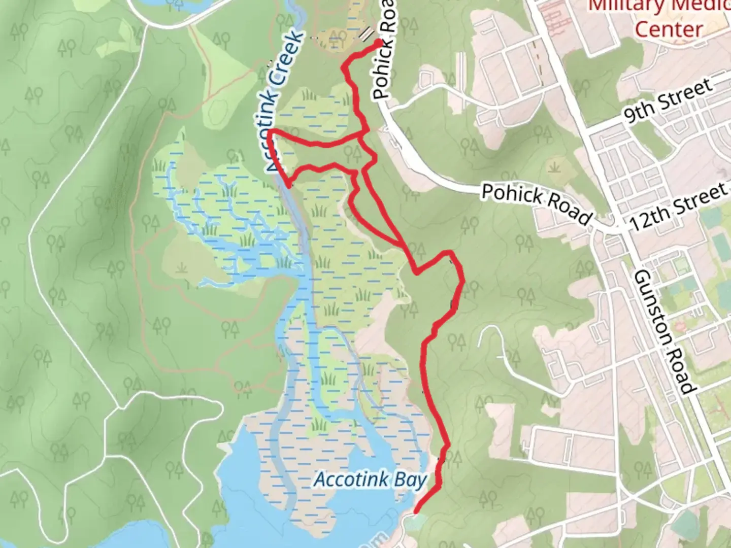
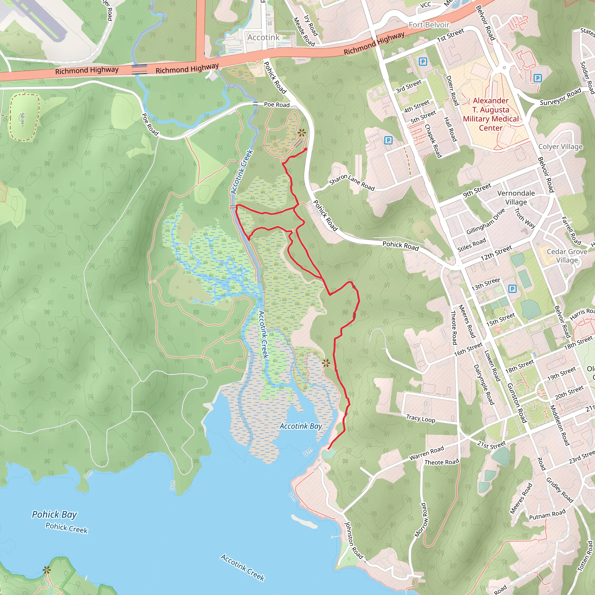
The Beaver Pond and Basin Loop Trail, nestled near Fairfax County, Virginia, offers an immersive experience into the heart of a diverse ecosystem. Spanning approximately 6 kilometers (about 3.7 miles) with negligible elevation gain, this loop trail is accessible from the main entrance of the park, which is a short drive from the city center. For those opting for public transport, local bus services frequently run close to the park entrance, and from there, it's a brief walk to the trailhead.
As you embark on your journey, the trail will guide you through a rich tapestry of deciduous forests, home to a variety of flora and fauna. The first section meanders through a dense canopy of oak, maple, and hickory trees, providing ample shade and a serene atmosphere. Keep an eye out for the vibrant birdlife, as the area is known for its avian diversity, including woodpeckers, warblers, and the occasional sighting of a majestic bald eagle.
Navigating the Trail
The trail is well-marked, with clear signage at key junctions, ensuring a straightforward navigation experience. Hikers can rely on the HiiKER app to track their progress and access detailed maps of the trail, which is especially useful for identifying nearby points of interest.
Approximately 2 kilometers (1.2 miles) into the hike, you'll reach the Beaver Pond, a tranquil body of water that serves as a habitat for beavers, turtles, and frogs. The pond's still waters reflect the surrounding foliage, creating a picturesque setting for a rest or a picnic. This is also an excellent spot for wildlife enthusiasts to observe beaver dams and lodges along the banks.
Historical Significance
The region holds historical significance, with the area having been inhabited by various Native American tribes before European settlement. As you continue along the trail, you'll come across interpretive signs that provide insights into the past inhabitants and their relationship with the land.
Completing the Loop
The latter half of the loop takes you through a basin area where the terrain opens up to reveal a wetland ecosystem. Here, the trail is flanked by tall grasses and wildflowers, and if you're hiking in the spring or early summer, you'll be treated to a colorful display of blooms.
The final stretch of the trail gradually leads back to the starting point. Throughout the hike, the elevation remains relatively flat, making it a medium difficulty trail suitable for most hikers, including those with moderate experience.
Before setting out, ensure you have adequate water, snacks, and weather-appropriate clothing. It's also wise to check the local weather forecast and park alerts. The trail is open year-round, but conditions can vary with the seasons.
To reach the trailhead by car, take the main highway towards Fairfax County and follow the signs to the park entrance. There is a parking area near the trailhead where you can leave your vehicle before starting your hike. Remember to leave no trace and respect the natural environment to preserve the beauty of the Beaver Pond and Basin Loop Trail for future visitors.
What to expect?
Activity types
Comments and Reviews
User comments, reviews and discussions about the Beaver Pond and Basin Loop Trail, Virginia.
4.48
average rating out of 5
27 rating(s)
