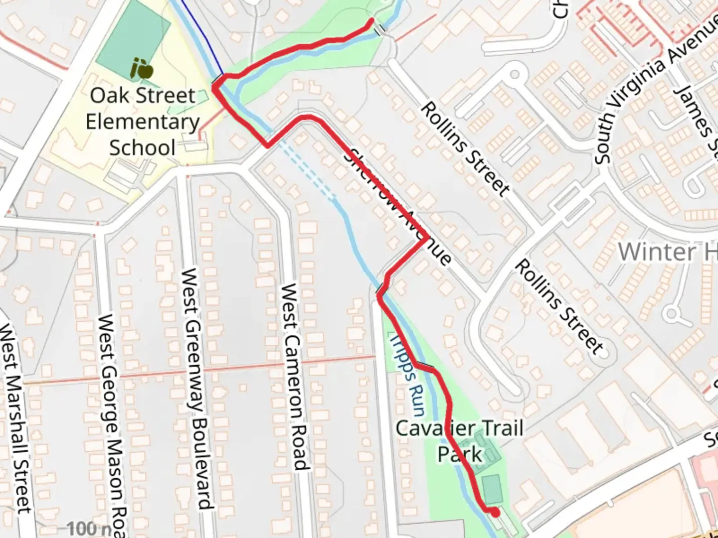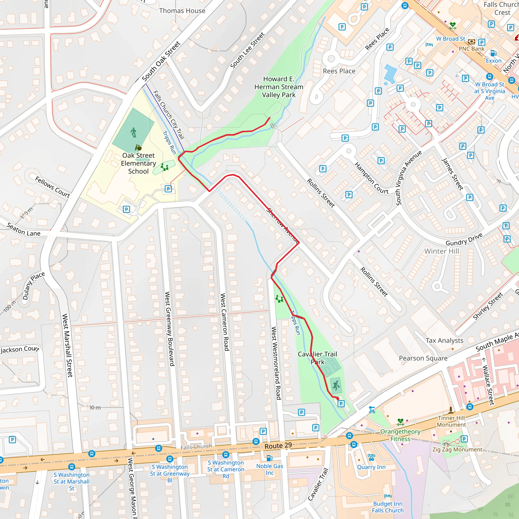
Cavalier Trail Park and Howard E Herman Stream Valley Park
Download
Preview
Add to list
More
1.7 km
~21 min
14 m
Out and Back
“Enjoy a scenic, family-friendly 2 km hike through Fairfax's Cavalier Trail and Howard E Herman Stream Valley Parks.”
Starting near Fairfax, Virginia, the Cavalier Trail Park and Howard E Herman Stream Valley Park trail offers a delightful 2 km (1.24 miles) out-and-back hike with no significant elevation gain, making it accessible for a wide range of hikers. The trailhead is conveniently located near the intersection of Chain Bridge Road and Eaton Place, easily accessible by car or public transport. If you're driving, parking is available at the nearby Fairfax City Hall. For those using public transport, Fairfax Connector buses serve the area, with stops close to the trailhead.
Trail Overview
The trail begins at Cavalier Trail Park, a small but charming green space. As you start your hike, you'll be greeted by a well-maintained path that meanders through a mix of open areas and shaded woodlands. The trail is relatively flat, with an elevation gain of approximately 0 meters (0 feet), making it suitable for families and casual hikers.
Points of Interest
#### Cavalier Trail Park
At the beginning of your hike, take a moment to enjoy the amenities of Cavalier Trail Park. The park features a playground, picnic tables, and open grassy areas perfect for a pre-hike snack or post-hike relaxation.
#### Howard E Herman Stream Valley Park
As you continue along the trail, you'll enter Howard E Herman Stream Valley Park. This section of the trail is particularly scenic, following the course of a small stream. The sound of flowing water adds a tranquil ambiance to your hike. Keep an eye out for local wildlife, including deer, squirrels, and a variety of bird species. The park is also home to several native plant species, making it a great spot for nature enthusiasts.
Historical Significance
The area around Fairfax has a rich history dating back to the colonial era. While the trail itself does not feature specific historical landmarks, the surrounding region played a significant role during the Civil War. Fairfax was a strategic location for both Union and Confederate forces, and remnants of this history can be found throughout the city.
Navigation and Safety
For navigation, it's recommended to use the HiiKER app, which provides detailed maps and real-time updates. The trail is well-marked, but having a reliable navigation tool can enhance your hiking experience.
Getting There
To reach the trailhead, head to the intersection of Chain Bridge Road and Eaton Place in Fairfax. If you're driving, parking is available at Fairfax City Hall, located at 10455 Armstrong St, Fairfax, VA 22030. For public transport users, Fairfax Connector buses serve the area, with stops near the trailhead.
Final Tips
While the trail is relatively short and easy, it's always a good idea to bring water, wear comfortable hiking shoes, and check the weather forecast before heading out. The trail can be muddy after rain, so plan accordingly. Enjoy your hike through this beautiful and historically rich area!
What to expect?
Activity types
Comments and Reviews
User comments, reviews and discussions about the Cavalier Trail Park and Howard E Herman Stream Valley Park, Virginia.
4.58
average rating out of 5
24 rating(s)
