Download
Preview
Add to list
More
13.2 km
~3 hrs 54 min
755 m
Out and Back
“Embark on the Brush Mountain hike via Appalachian Trail for a rewarding journey through history and nature.”
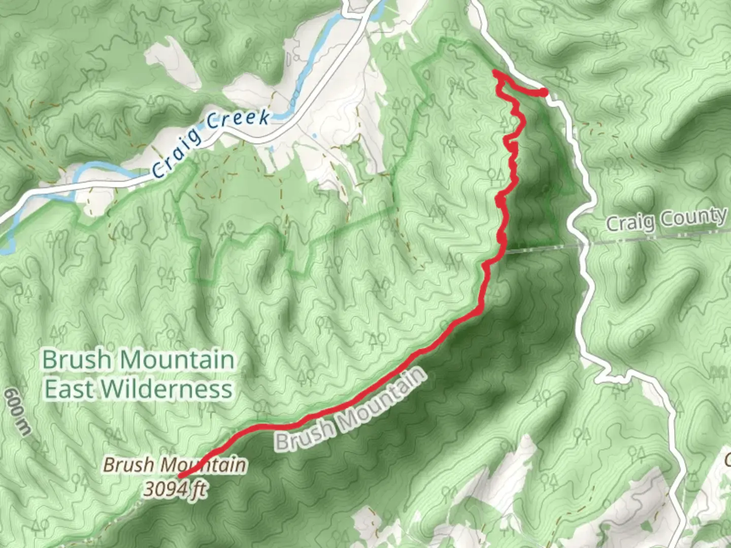
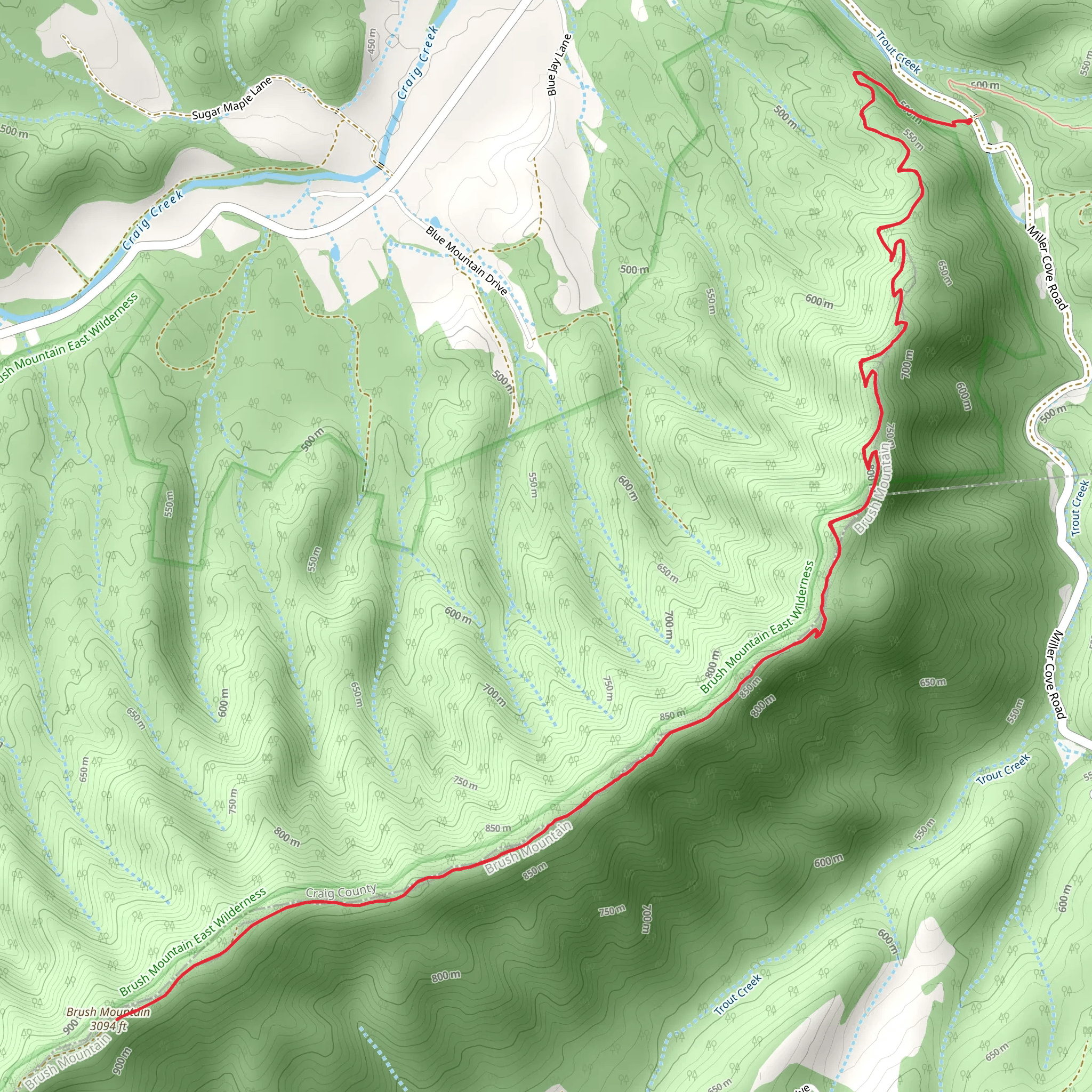
Starting your hike near Craig County, Virginia, the Brush Mountain via Appalachian Trail from State Route 620 offers a rewarding journey through the Appalachian wilderness. The trailhead is accessible by car, with parking available near the intersection of State Route 620 and the Appalachian Trail. For those relying on public transport, the nearest significant town is Blacksburg, Virginia, which is approximately 20 miles (32 km) away. From Blacksburg, you can arrange a taxi or rideshare service to the trailhead.Trail OverviewThe trail spans approximately 13 km (8 miles) round trip, with an elevation gain of around 700 meters (2,300 feet). This out-and-back trail is rated as medium difficulty, making it suitable for moderately experienced hikers. The path is well-marked, but it’s advisable to use HiiKER for navigation to ensure you stay on track.Initial AscentStarting from the trailhead, the first section of the hike involves a steady ascent through dense forest. The initial 2 km (1.2 miles) will see you gaining about 200 meters (650 feet) in elevation. The trail here is shaded, with a canopy of oak, hickory, and maple trees providing a cool environment even during warmer months. Keep an eye out for white blazes marking the Appalachian Trail.Midway Point and WildlifeAs you continue, the trail levels out slightly, offering a reprieve from the climb. Around the 4 km (2.5 miles) mark, you’ll reach a small clearing that provides a perfect spot for a short break. This area is known for its diverse wildlife, including white-tailed deer, wild turkeys, and various bird species. If you’re lucky, you might even spot a black bear, though they are generally shy and avoid human contact.Historical SignificanceBrush Mountain holds historical significance as part of the Appalachian Trail, which was conceived in the 1920s and completed in 1937. The trail has been a symbol of American outdoor adventure and conservation efforts. The region around Brush Mountain was also historically significant during the Civil War, with nearby areas seeing troop movements and skirmishes.Final Ascent and SummitThe final push to the summit involves a steeper climb, with the last 2 km (1.2 miles) gaining approximately 300 meters (1,000 feet) in elevation. The trail becomes rockier and more challenging, so take your time and watch your footing. Upon reaching the summit of Brush Mountain, you’ll be rewarded with panoramic views of the surrounding valleys and ridges. This is an excellent spot for photos and a well-deserved rest.DescentThe return journey follows the same path, offering a chance to enjoy the scenery from a different perspective. The descent is generally easier, but still requires caution, especially on the steeper sections.Preparation and SafetyEnsure you bring plenty of water, as there are no reliable water sources along the trail. Wear sturdy hiking boots with good ankle support, and consider using trekking poles to help with the elevation changes. Weather can be unpredictable, so pack layers and be prepared for sudden changes. Always let someone know your hiking plans and expected return time.Using HiiKER for navigation will help you stay on course and provide real-time updates on your progress. Enjoy your hike on Brush Mountain and take in the natural beauty and historical richness of this Appalachian gem.
What to expect?
Activity types
Comments and Reviews
User comments, reviews and discussions about the Brush Mountain via Appalachian Trail from State Route 620, Virginia.
4.69
average rating out of 5
16 rating(s)
