Download
Preview
Add to list
More
2.8 km
~58 min
252 m
Out and Back
“Experience the essence of Virginia's wilderness and history on the scenic Humpback Rocks Trail.”
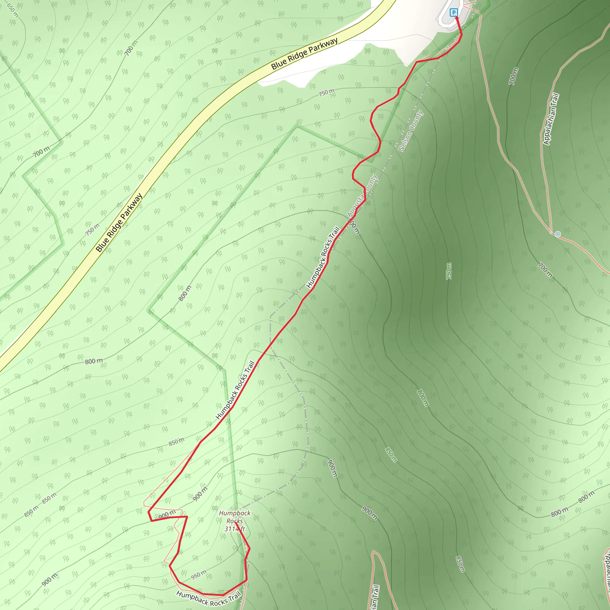
The Humpback Rocks Trail is a popular hiking destination located near Augusta County, Virginia, offering a blend of natural beauty, challenging terrain, and historical significance. Spanning approximately 3 kilometers (about 1.9 miles) with an elevation gain of around 200 meters (656 feet), this out-and-back trail is rated as medium difficulty, making it accessible to hikers with a reasonable level of fitness.
Getting to the Trailhead
To reach the trailhead, drivers can navigate to the Humpback Rocks Visitor Center, located on the Blue Ridge Parkway near milepost 5.8. This is the nearest significant landmark to the trailhead. For those relying on public transportation, options are limited due to the rural nature of the area, so driving or carpooling is recommended.
The Hike
As you embark on the Humpback Rocks Trail, you'll be greeted by a well-maintained path that begins with a series of switchbacks. These initial turns help manage the steep ascent, which can be quite strenuous, so pace yourself accordingly. The trail is marked with blue blazes, ensuring that navigation is straightforward. For additional navigation support, hikers can use the HiiKER app to track their progress and stay on the right path.
Natural Features and Wildlife
The trail meanders through a hardwood forest, which provides a canopy of shade during the warmer months and a colorful display of foliage in the fall. As you ascend, keep an eye out for various bird species, as well as the occasional deer. The underbrush may also be teeming with smaller wildlife, so it's wise to stay on the path to avoid disturbing the habitat.
Historical Significance
The Humpback Rocks area is steeped in history, with the trail itself passing near old farmsteads that date back to the early European settlers of the Appalachian Mountains. These settlers carved out a life on the rugged terrain, and their legacy is preserved at the Humpback Rocks Farm, a short detour from the main trail. Here, you can explore the reconstructed buildings and gain insight into the 19th-century mountain living.
The Summit
Upon reaching the summit, hikers are rewarded with panoramic views of the Shenandoah Valley and the Allegheny Mountains. The rocky outcrop at the top, known as Humpback Rocks, is a popular spot for taking in the vistas and capturing photographs. The elevation at this point is approximately 3,080 feet (939 meters), offering a sense of accomplishment alongside the stunning scenery.
Preparation and Safety
Before setting out, ensure you have adequate water, as there are no sources along the trail. Sturdy hiking boots are recommended due to the rocky and sometimes slippery terrain, especially after rain. Check the weather forecast in advance, as conditions at the summit can be quite different from those at the base. Lastly, it's always a good idea to let someone know your hiking plans and expected return time.
By following these guidelines and respecting the natural and historical aspects of the Humpback Rocks Trail, hikers can enjoy a memorable and safe experience in the heart of Virginia's Blue Ridge Mountains.
What to expect?
Activity types
Comments and Reviews
User comments, reviews and discussions about the Humpback Rocks Trail, Virginia.
4.54
average rating out of 5
24 rating(s)

