Download
Preview
Add to list
More
11.0 km
~3 hrs 9 min
575 m
Out and Back
“Experience breathtaking views and diverse wildlife on the moderately challenging Crawford Knob via Crawford Mountain Trail.”
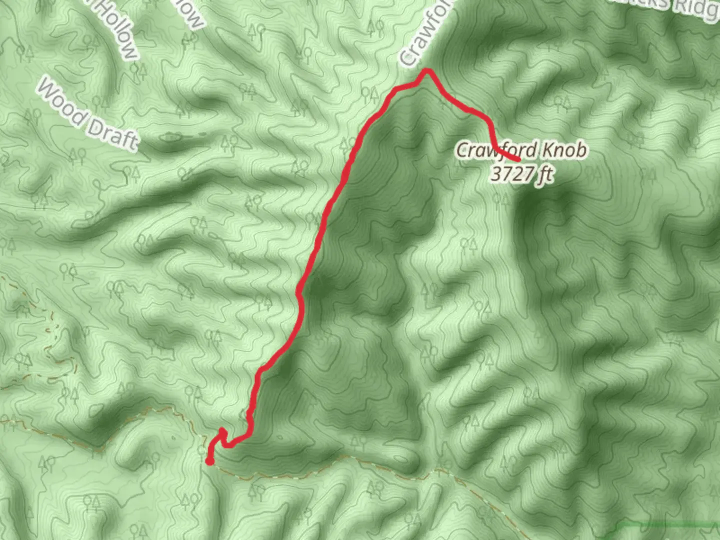
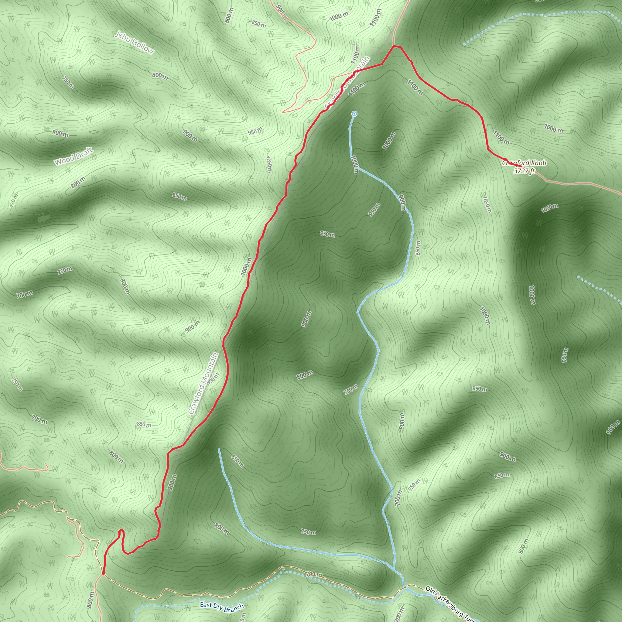
Starting near Augusta County, Virginia, this 11 km (approximately 6.8 miles) out-and-back trail offers a moderately challenging hike with an elevation gain of around 500 meters (about 1,640 feet). The trailhead is accessible by car, and the nearest significant landmark is the town of Staunton, Virginia. From Staunton, head south on US-11 S and then take VA-254 W/VA-42 S to reach the trailhead.
Trail Overview
The Crawford Knob via Crawford Mountain Trail begins with a gentle ascent through a dense forest of oak, hickory, and maple trees. The initial 2 km (1.2 miles) are relatively easy, with a gradual elevation gain of about 100 meters (328 feet). This section is perfect for warming up and getting accustomed to the terrain.
Mid-Trail Highlights
As you progress further, the trail becomes steeper and more rugged. Around the 4 km (2.5 miles) mark, you'll encounter a series of switchbacks that will take you up an additional 200 meters (656 feet) in elevation. This part of the trail offers stunning views of the Shenandoah Valley, especially during the fall when the foliage is at its peak.
Wildlife and Flora
Keep an eye out for local wildlife, including white-tailed deer, black bears, and various bird species such as the Eastern Bluebird and Red-tailed Hawk. The trail is also home to a variety of wildflowers, particularly in the spring and early summer months. Trilliums, Virginia Bluebells, and Mountain Laurels add vibrant colors to the landscape.
Historical Significance
The region around Crawford Knob has a rich history dating back to the Native American tribes who originally inhabited the area. During the Civil War, the Shenandoah Valley was a strategic location, and remnants of old encampments can still be found near the trail. Be respectful of these historical sites and avoid disturbing any artifacts you may come across.
Final Ascent and Summit
The final 2 km (1.2 miles) to the summit of Crawford Knob are the most challenging, with an elevation gain of about 200 meters (656 feet). The trail narrows and becomes rockier, requiring careful footing. Upon reaching the summit, you'll be rewarded with panoramic views of the surrounding mountains and valleys. This is an excellent spot for a well-deserved break and some photography.
Navigation and Safety
Given the moderate difficulty of the trail, it's advisable to use a reliable navigation tool like HiiKER to keep track of your progress and ensure you stay on the correct path. The trail is well-marked, but having a digital map can be invaluable, especially in foggy or low-visibility conditions.
Getting There
For those relying on public transport, the nearest major transit hub is Staunton, Virginia. From Staunton, you can take a taxi or rideshare service to the trailhead. If you're driving, ample parking is available at the trailhead, but it can fill up quickly on weekends and holidays, so plan to arrive early.
Prepare adequately with enough water, snacks, and appropriate clothing for changing weather conditions. Enjoy your hike and the natural beauty that Crawford Knob via Crawford Mountain Trail has to offer!
What to expect?
Activity types
Comments and Reviews
User comments, reviews and discussions about the Crawford Knob via Crawford Mountain Trail, Virginia.
4.65
average rating out of 5
20 rating(s)
