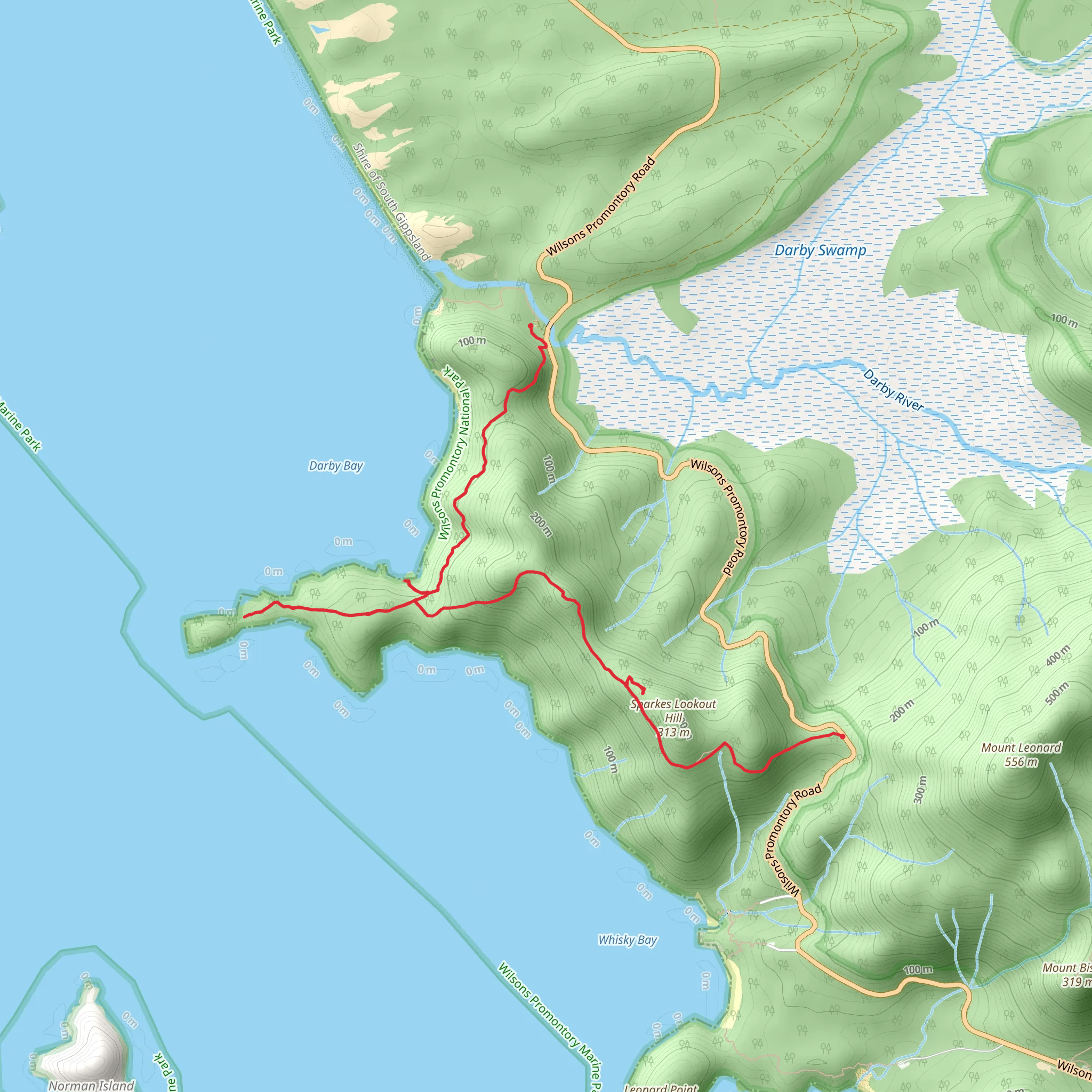
The Tongue Point, Darby River and Saddle Trail is a unique and beautiful 7 mi trail made up of two short out-and-back trails, starting and ending at the Darby River car park, within Wilsons Promontory National Park, Victoria. This popular and fairly challenging hiking, bird watching and the walking route is graded as a Medium difficulty and is usually completed in 3 – 4 hours, covering both the Darby River to Tongue Point Trail and the Tongue Point to Darby Saddle Trail. (For information on how we grade trails, please click here. Caution is advised on trail times as this depends on multiple variables. For more info, click here.) Darby River to Tongue Point This part of the trail is fairly undulating but with little elevation; spectacular views across the Vereker Range, Darby Swamp and Darby Beach as the route take walkers over a sand dune and along the headland leading to Tongue Point and its prominent rocky outcrop. At the junction with the Darby Saddle track, there is the option to take a spur trail down steps to the secluded, and tranquil Fairy Cove strewn with granite rocks – a must-stop on this trail! Once you’ve retraced the path back up, continue to the unique formations of granite boulders at Tongue Point, where the trail ends before you reach the ‘island’. Tongue Point to Darby Saddle On this part of the trail, walkers face a more challenging incline as the path winds up through coastal heathland and over breathtaking coastal path to Lookout Rocks for views out to Norman Island. For more views over the bay and out to Rodondo Island and Shallow Inlet, head up another spur trail en route to the Sparkes Lookout, then down through Casuarina forest to reach Darby Saddle and the end of the trail. Dogs are not allowed within the Wilsons Promontory National Park for the protection and conservation of the park and its wildlife.