Download
Preview
Add to list
More
18.8 km
~2 days
610 m
Multi-Day
“Embark on a scenic hike through history and nature on the diverse Macedon Ranges Walking Trail.”
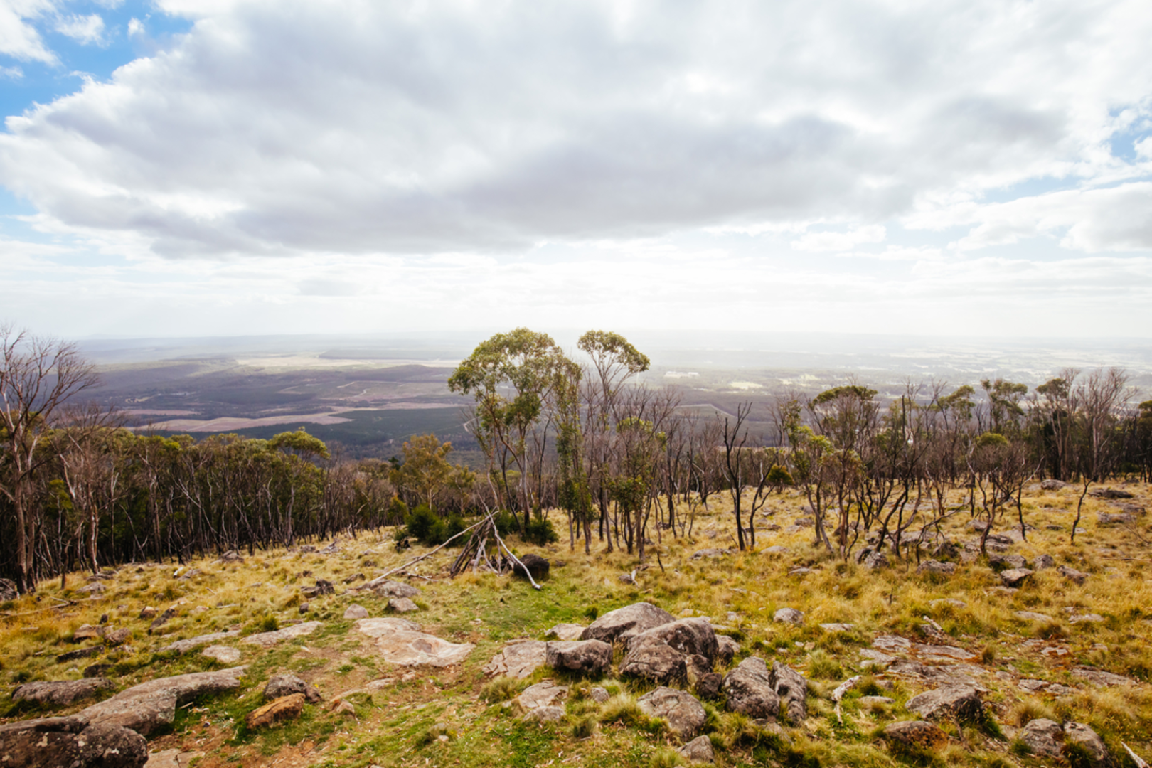
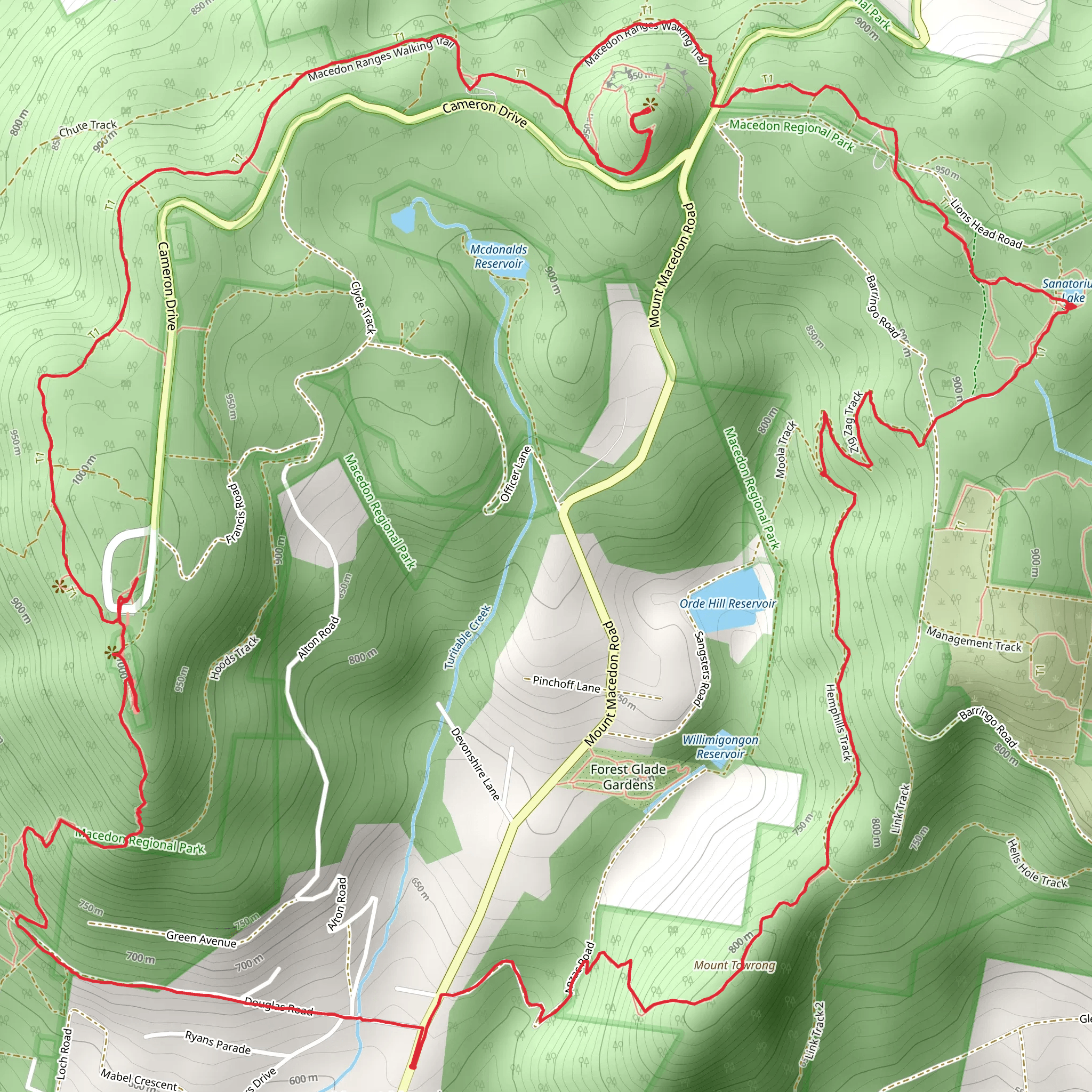
The Macedon Ranges Walking Trail, nestled near the town of Macedon in Victoria, Australia, offers an immersive experience through a landscape rich in natural beauty and historical significance. Spanning approximately 19 kilometers (about 11.8 miles) and featuring an elevation gain of around 600 meters (nearly 1968 feet), this loop trail is a medium-difficulty hike that can be completed in a day by those with a reasonable level of fitness.Getting to the TrailheadTo reach the trailhead, hikers can drive to the Macedon Regional Park, where parking is available. For those relying on public transport, the Macedon train station is the closest access point. From the station, it's a short walk or taxi ride to the park's entrance.Navigating the TrailOnce on the trail, hikers can utilize the HiiKER app for detailed maps and navigation assistance. The trail is well-marked, but as with any hike, it's advisable to have a reliable navigation tool to ensure you stay on the correct path.Trail Highlights and LandmarksThe Macedon Ranges Walking Trail meanders through diverse landscapes, including lush forests, open grasslands, and dense fern gullies. Early in the hike, adventurers will ascend through stands of towering eucalyptus trees, which provide a habitat for an array of bird species, including the iconic laughing kookaburra and colorful rosellas.Historical SignificanceThe region holds historical importance, with the area being significant to the local Wurundjeri people. As hikers traverse the trail, they will encounter sites that reflect the area's gold rush heritage, including old mining tracks and machinery remnants.Flora and FaunaThe trail offers a chance to spot local wildlife such as kangaroos, wallabies, and echidnas. The diverse vegetation includes wildflowers that bloom in spring, adding a splash of color to the greenery.Camels HumpApproximately halfway through the hike, at around the 9.5-kilometer (5.9-mile) mark, hikers will reach the Camels Hump. This is the highest point in the Macedon Ranges and offers panoramic views of the surrounding area. The ascent to the Camels Hump is the most challenging part of the hike, with steep sections that contribute significantly to the total elevation gain.Sanatorium LakeFurther along the trail, hikers will come across Sanatorium Lake, a serene spot perfect for a rest or picnic. The lake area, about 3 kilometers (1.9 miles) from the Camels Hump, is also a great place for birdwatching, especially for waterfowl.Memorial CrossAs the trail loops back towards the starting point, one of the final landmarks is the Memorial Cross, which stands as a tribute to those who served in the world wars. Located roughly 2 kilometers (1.2 miles) from the trailhead, this site also offers impressive views and is a place of reflection and historical contemplation.Preparation and SafetyHikers should come prepared with adequate water, as there are limited sources along the trail, and weather-appropriate clothing. The trail can be muddy and slippery after rain, so sturdy, waterproof hiking boots are recommended. Always inform someone of your hiking plans and expected return time for safety.By following these guidelines and being prepared, hikers can fully enjoy the natural splendor and historical richness of the Macedon Ranges Walking Trail.
What to expect?
Activity types
Comments and Reviews
User comments, reviews and discussions about the Macedon Ranges Walking Trail, Victoria.
average rating out of 5
0 rating(s)

