Download
Preview
Add to list
More
17.8 km
~4 hrs 31 min
587 m
Out and Back
“The Wheat Grass Canyon Trail offers stunning views, diverse wildlife, and rich history, perfect for medium-difficulty hikes.”
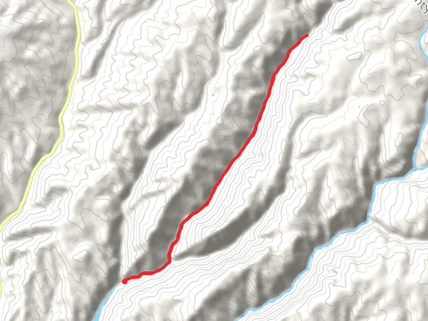
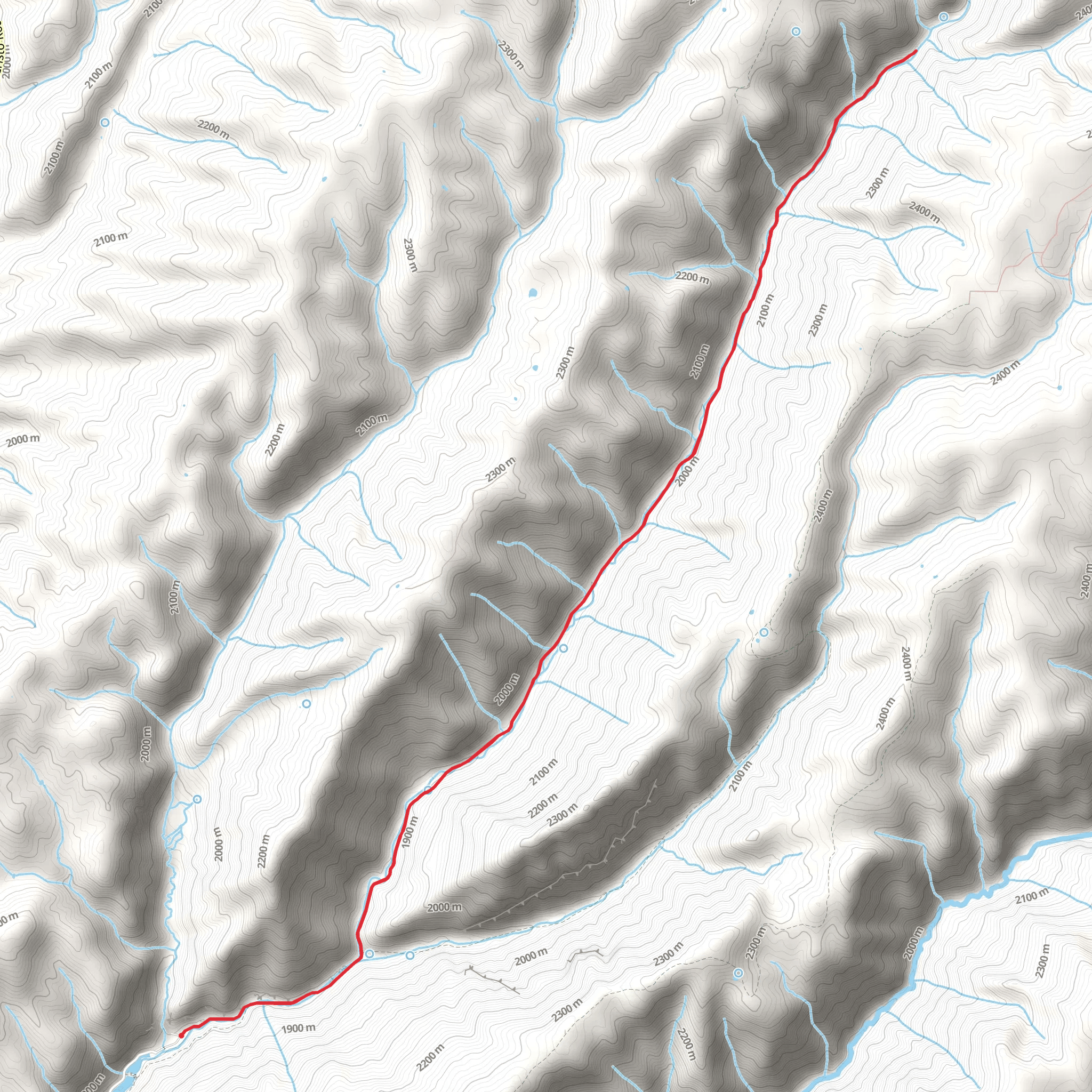
Starting near Weber County, Utah, the Wheat Grass Canyon Trail is an 18 km (approximately 11.2 miles) out-and-back trail with an elevation gain of around 500 meters (about 1,640 feet). This medium-difficulty trail offers a blend of natural beauty, historical significance, and diverse wildlife, making it a rewarding experience for hikers.### Getting There To reach the trailhead, you can drive or use public transportation. If driving, head towards Weber County, Utah, and look for parking near the intersection of North Ogden Canyon Road and 3300 North. For those using public transport, the nearest bus stop is at North Ogden Canyon Road, which is serviced by local bus routes. From there, it's a short walk to the trailhead.### Trail Overview The trail begins with a gentle ascent through a mixed forest of pine and aspen trees. The first 3 km (1.9 miles) are relatively easy, with an elevation gain of about 100 meters (328 feet). This section is perfect for warming up and getting accustomed to the terrain. Keep an eye out for mule deer and wild turkeys, which are commonly seen in this area.### Mid-Trail Highlights Around the 5 km (3.1 miles) mark, you'll encounter a series of switchbacks that lead to a more challenging ascent. This section gains approximately 200 meters (656 feet) in elevation over 2 km (1.2 miles). The switchbacks offer stunning views of the surrounding canyon and are a great spot for a short break. Here, you might also notice remnants of old mining equipment, a nod to the area's historical significance during the late 19th-century mining boom.### Wildlife and Flora As you continue, the trail levels out slightly, and you'll pass through meadows filled with wildflowers during the spring and summer months. Look for lupines, Indian paintbrush, and columbines. Birdwatchers will appreciate the variety of species, including hawks, eagles, and various songbirds.### Final Ascent and Views The final 4 km (2.5 miles) involve a steady climb to the highest point of the trail, gaining another 200 meters (656 feet) in elevation. This section is more exposed, so be prepared for sun and wind. The summit offers panoramic views of the canyon and the distant Great Salt Lake. It's a perfect spot for lunch or a longer rest before heading back.### Historical Significance The Wheat Grass Canyon area has a rich history tied to the early settlers and miners of Utah. The trail itself follows old routes used by miners in the late 1800s. You might come across old cabins and mining shafts, which serve as a reminder of the region's industrious past.### Navigation and Safety Given the trail's moderate difficulty and varying terrain, it's advisable to use a reliable navigation tool like HiiKER to stay on track. The trail is well-marked, but having a digital map can be invaluable, especially in areas where the path may be less clear.### Return Journey The return journey follows the same path, offering a different perspective on the landscape. The descent is generally easier, but take care on the steeper sections to avoid slipping.This trail offers a balanced mix of natural beauty, wildlife, and historical intrigue, making it a must-visit for hikers in the Weber County area.
What to expect?
Activity types
Comments and Reviews
User comments, reviews and discussions about the Wheat Grass Canyon Trail, Utah.
4.38
average rating out of 5
13 rating(s)
