Download
Preview
Add to list
More
31.6 km
~1 day 4 hrs
1721 m
Out and Back
“The Skyline South Trail offers a moderately challenging 32-kilometer hike with stunning views and rich historical sites.”
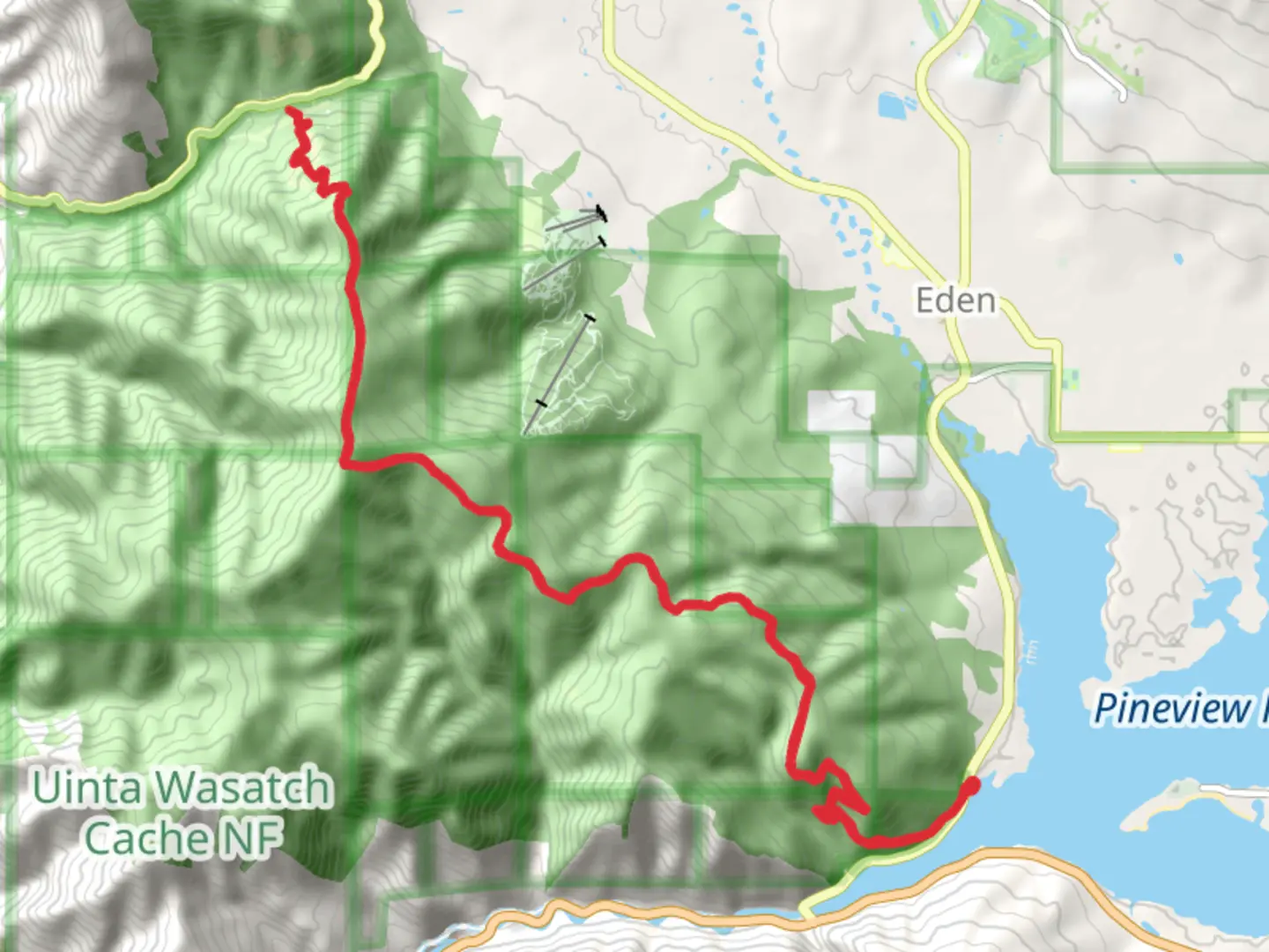
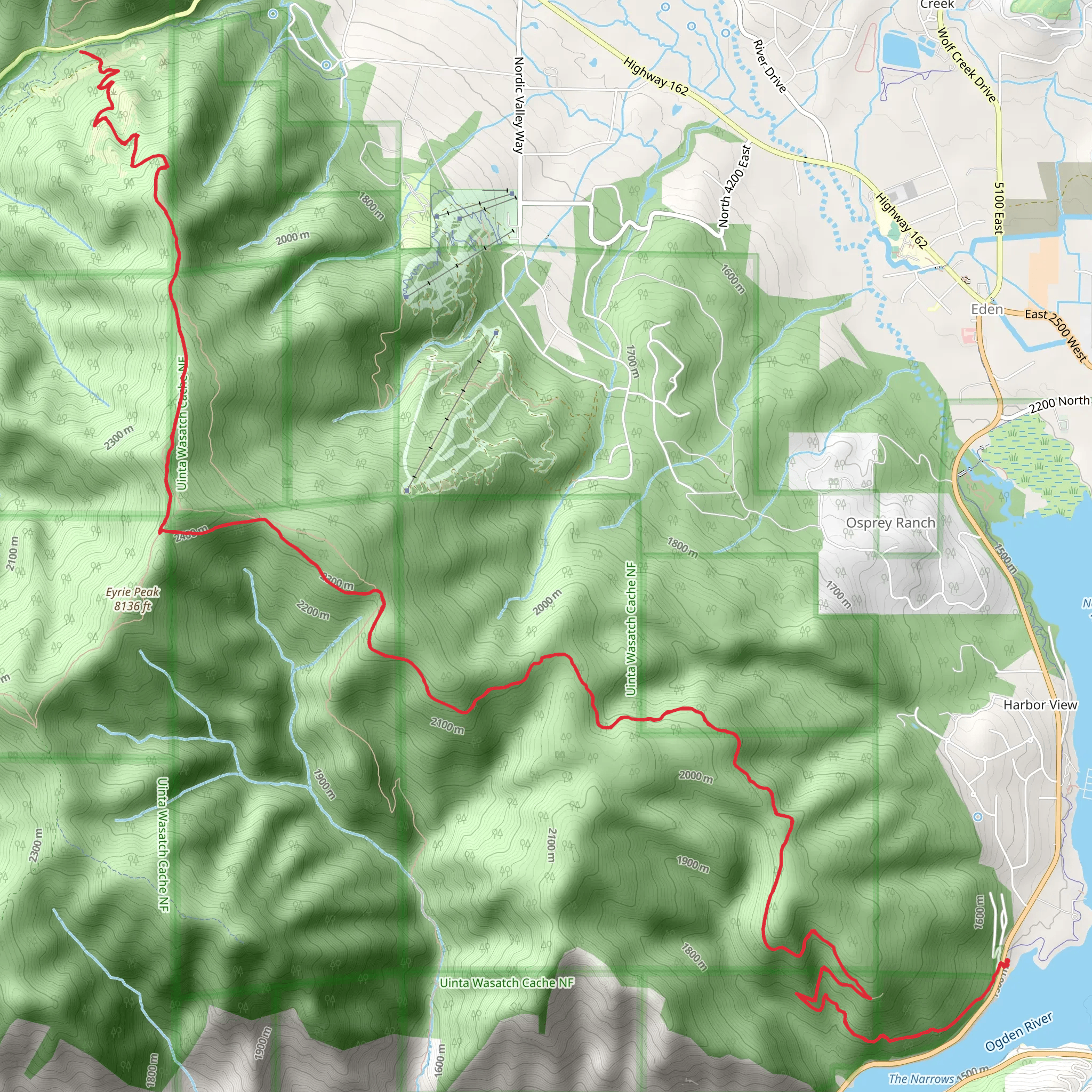
Starting near Weber County, Utah, the Skyline South Trail stretches approximately 32 kilometers (20 miles) with an elevation gain of around 1700 meters (5577 feet). This out-and-back trail is estimated to be of medium difficulty, making it suitable for moderately experienced hikers.
Getting There To reach the trailhead, you can drive or use public transportation. If driving, head towards the nearest significant landmark, which is the North Ogden Divide. From there, follow the signs to the trailhead parking area. For those using public transport, the nearest bus stop is in North Ogden, from where you can take a taxi or rideshare service to the trailhead.
Trail Overview The trail begins with a gradual ascent through a mixed forest of pine and aspen trees. The first 5 kilometers (3.1 miles) offer a relatively gentle climb, gaining about 300 meters (984 feet) in elevation. This section is well-marked and provides a good warm-up for the more challenging parts ahead.
Mid-Trail Highlights As you progress, the trail becomes steeper and more rugged. Around the 10-kilometer (6.2 miles) mark, you'll encounter a series of switchbacks that lead you up to a ridgeline. This section gains approximately 500 meters (1640 feet) in elevation and offers stunning panoramic views of the surrounding valleys and peaks. Keep an eye out for wildlife such as mule deer and various bird species, including hawks and eagles.
Historical Significance The region has a rich history, with Native American tribes such as the Shoshone and Ute having inhabited the area for centuries. Along the trail, you may come across ancient petroglyphs and other archaeological sites that offer a glimpse into the past.
Final Stretch The last 6 kilometers (3.7 miles) to the turnaround point are the most challenging, with an elevation gain of about 400 meters (1312 feet). This section is less forested, providing more exposure to the elements, so be prepared for varying weather conditions. The trail culminates at a high ridge, offering breathtaking views of the Great Salt Lake and the Wasatch Range.
Navigation and Safety Given the trail's length and elevation gain, it's crucial to be well-prepared. Use the HiiKER app for accurate navigation and real-time updates on trail conditions. Ensure you carry enough water, snacks, and appropriate clothing for changing weather. Trekking poles can be helpful for the steeper sections.
Flora and Fauna Throughout the hike, you'll encounter diverse flora, including wildflowers in the spring and summer months. The trail also passes through several meadows, which are prime spots for observing local wildlife. Be cautious and respectful of the natural habitat, and always follow Leave No Trace principles.
Return Journey Since this is an out-and-back trail, you'll retrace your steps to return to the trailhead. The descent can be tough on the knees, so take your time and use trekking poles if needed. The return journey offers a different perspective on the landscape, making it equally enjoyable.
By following these guidelines and being well-prepared, you'll have a rewarding experience on the Skyline South Trail.
What to expect?
Activity types
Comments and Reviews
User comments, reviews and discussions about the Skyline South Trail, Utah.
4.47
average rating out of 5
19 rating(s)
