Download
Preview
Add to list
More
5.0 km
~1 hrs 20 min
209 m
Out and Back
“Explore scenic views, diverse flora, and rich history on Pleasant View Trail's moderately challenging 5-kilometer hike.”
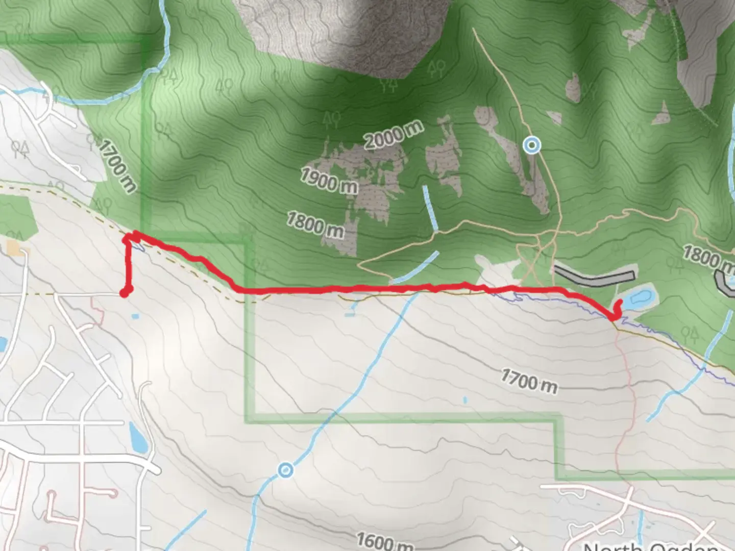
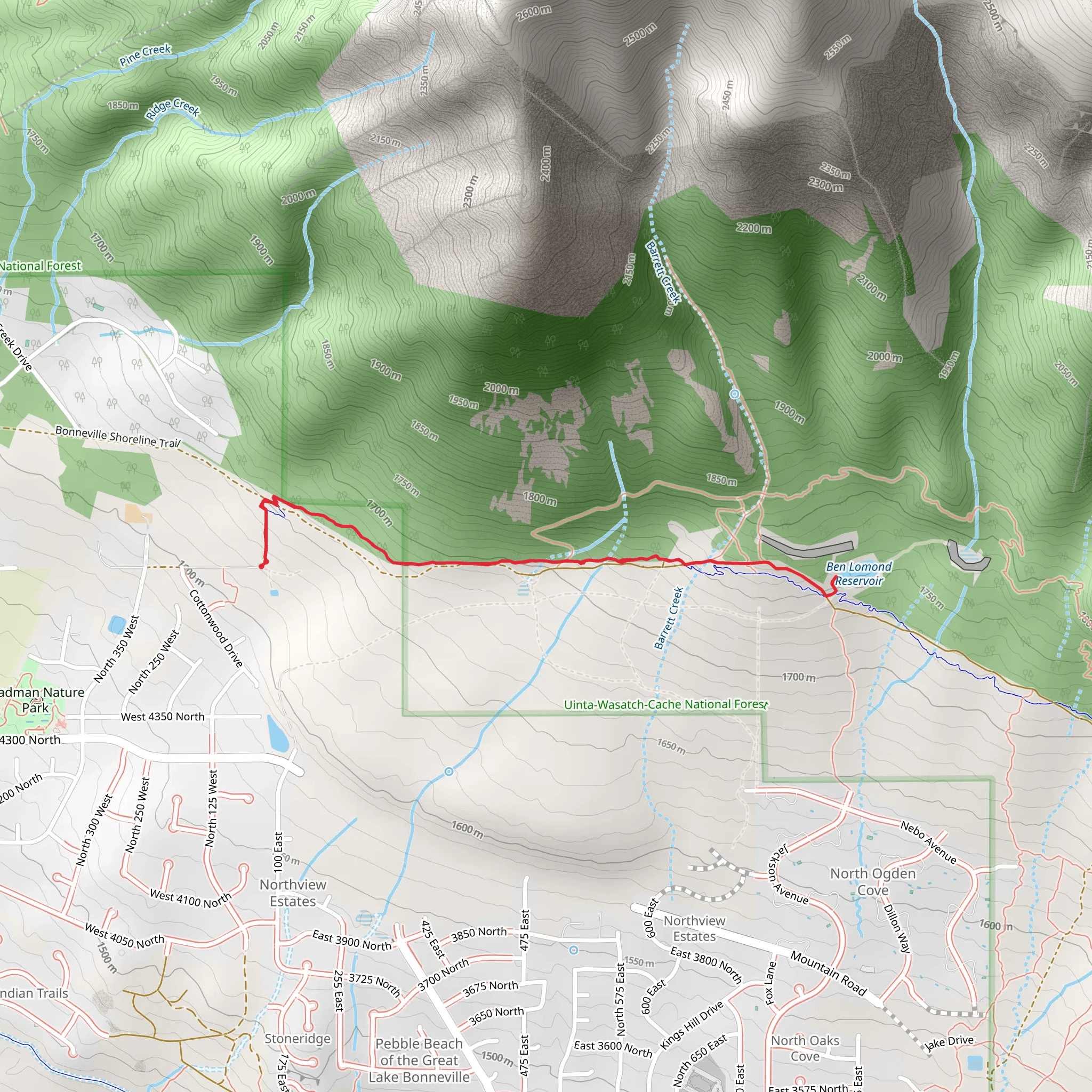
Starting near Weber County, Utah, the Pleasant View Trail offers a moderately challenging hike with a total distance of around 5 kilometers (approximately 3.1 miles) and an elevation gain of about 200 meters (656 feet). This out-and-back trail is perfect for those looking to enjoy a mix of scenic views, diverse flora, and a touch of local history.### Getting There To reach the trailhead, you can drive or use public transportation. If driving, head towards the nearest known address, which is near the intersection of 2700 N and 500 W in Pleasant View, Utah. There is a small parking area available at the trailhead. For those using public transport, the Utah Transit Authority (UTA) offers bus services that can get you close to the starting point. Check the UTA schedule for the nearest bus stop and plan accordingly.### Trail Overview The trail begins with a gentle ascent, allowing hikers to warm up before tackling the steeper sections. The first kilometer (0.6 miles) is relatively easy, with an elevation gain of about 50 meters (164 feet). As you progress, the trail becomes steeper, particularly between the 1.5 to 2.5 kilometer (0.9 to 1.6 miles) mark, where you will experience the majority of the elevation gain.### Landmarks and Nature One of the first significant landmarks you'll encounter is a small, picturesque creek about 1 kilometer (0.6 miles) into the hike. This is a great spot to take a short break and enjoy the sound of flowing water. As you continue, keep an eye out for a variety of wildflowers, especially in the spring and early summer months. The trail is also home to several species of birds, so bringing a pair of binoculars could enhance your experience.### Historical Significance The region around Pleasant View has a rich history, dating back to the early settlers of Utah. The trail itself passes through areas that were once used by Native American tribes for hunting and gathering. About halfway through the hike, you'll come across an old, abandoned cabin that dates back to the late 1800s. This cabin serves as a reminder of the area's pioneer past and offers a unique photo opportunity.### Wildlife As you approach the 3-kilometer (1.9 miles) mark, the trail opens up to a stunning viewpoint overlooking the valley below. This is a prime spot for wildlife observation. Deer are commonly seen in this area, and if you're lucky, you might even spot a fox or a hawk soaring above. Always remember to keep a safe distance from wildlife and respect their natural habitat.### Navigation For navigation, it's highly recommended to use the HiiKER app, which provides detailed maps and real-time updates. The trail is well-marked, but having a reliable navigation tool can help ensure you stay on track and make the most of your hike.### Final Stretch The final stretch of the trail involves a gradual descent back to the trailhead. This part of the hike offers a different perspective of the landscape, with opportunities to spot different types of vegetation and perhaps even some smaller wildlife like squirrels and rabbits.By the time you return to the trailhead, you will have experienced a diverse range of natural beauty and historical landmarks, making the Pleasant View Trail a rewarding hike for both novice and experienced hikers alike.
What to expect?
Activity types
Comments and Reviews
User comments, reviews and discussions about the Pleasant View Trail, Utah.
4.75
average rating out of 5
16 rating(s)
