Download
Preview
Add to list
More
29.4 km
~1 day 3 hrs
1403 m
Out and Back
“"Trek the Skyline South Trail to conquer Eyrie and Lewis Peaks, unveiling Weber County's historical grandeur and breathtaking vistas."”
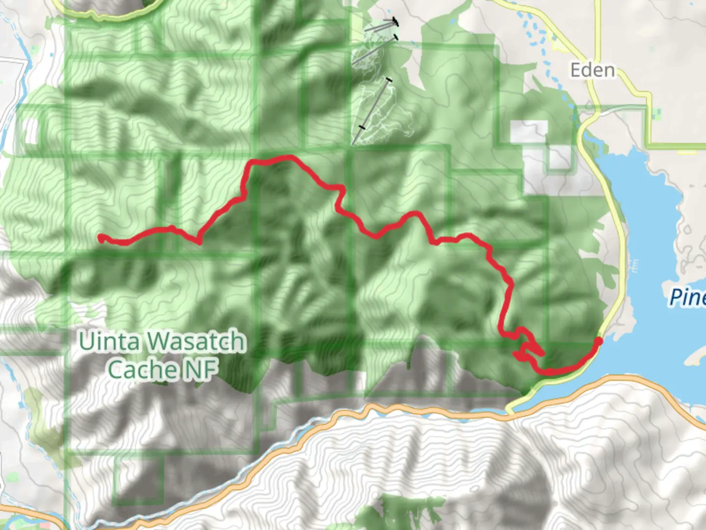
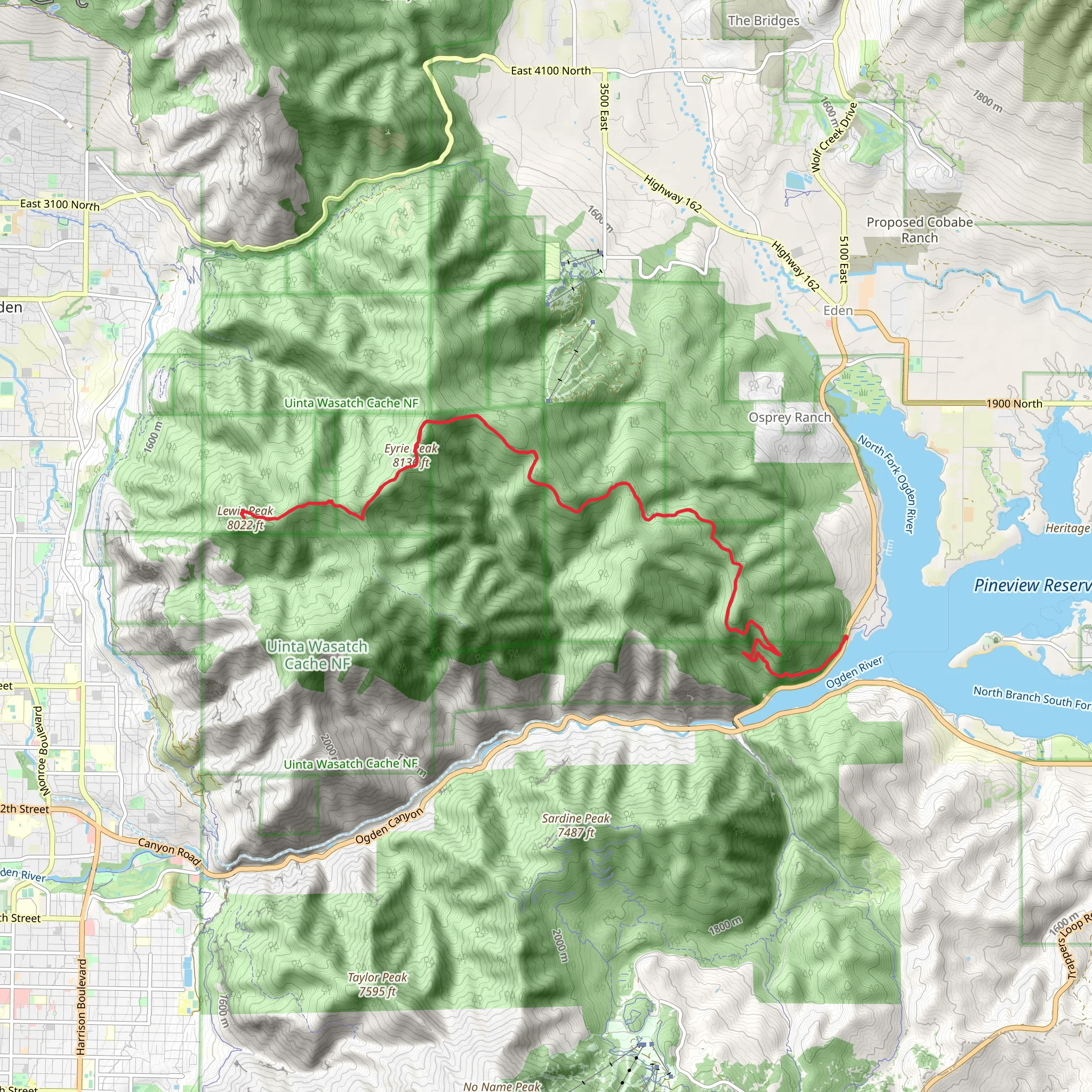
Embarking on the Eyrie Peak and Lewis Peak via Skyline South Trail presents an invigorating challenge for hikers looking to explore the rugged beauty of Weber County, Utah. This approximately 29 km (18 miles) out-and-back trail boasts an elevation gain of roughly 1400 meters (4593 feet), offering panoramic views and a diverse array of flora and fauna.
Getting to the Trailhead The trailhead is conveniently located near Weber County, with the closest significant landmark being the North Ogden Divide Trailhead. For those driving, parking is available at the trailhead. If you're opting for public transport, check local schedules for buses that get you closest to the North Ogden area, and then you may need to arrange a taxi or rideshare to reach the trailhead itself.
The Hike Itself As you set out from the trailhead, the path begins with a steady incline, winding through a mix of scrub oak and coniferous trees. The first section of the trail is well-maintained and marked, making navigation straightforward. Hikers can rely on the HiiKER app for up-to-date trail maps and navigation assistance.
After the initial 3 km (1.9 miles), the trail's incline becomes more pronounced, and you'll find yourself ascending a series of switchbacks. This is where the real workout begins, but you're rewarded with increasingly impressive views of the Ogden area.
Wildlife and Flora As you gain elevation, keep an eye out for the local wildlife, including mule deer, moose, and various bird species. The trail is also home to a rich variety of plant life, from wildflowers to hardy mountain shrubs, which can provide a colorful display especially in the spring and early summer months.
Reaching Eyrie Peak Upon reaching Eyrie Peak, around 9 km (5.6 miles) into the hike, you'll be treated to stunning vistas of the surrounding Wasatch Range. Here, the landscape opens up, and the terrain becomes rockier.
Historical Significance The region holds historical significance, with the Wasatch Range being a vital resource and landmark for the early settlers and Native American tribes. The trails you're hiking were once paths and hunting grounds for the Shoshone, Ute, and other indigenous peoples.
Onward to Lewis Peak Continuing on from Eyrie Peak, the trail meanders along the ridge, with some undulating terrain before making the final push to Lewis Peak. This section can be particularly rewarding as you traverse the spine of the mountain with expansive views on both sides.
Final Ascent and Return The ascent to Lewis Peak is gradual, and upon reaching the summit at approximately 14.5 km (9 miles), you'll find yourself at one of the highest points in the area, with a 360-degree view that's simply breathtaking. After taking in the scenery, you'll retrace your steps back to the trailhead.
Preparation and Safety Given the trail's length and elevation gain, it's essential to be well-prepared with adequate water, food, and layers of clothing to adjust for changing weather conditions. It's also wise to start early in the day to ensure enough daylight for the return trip. Always check the weather forecast before heading out, and inform someone of your hiking plans.
Remember, the trail can be challenging, with steep sections and loose rocks, so good hiking boots and trekking poles are recommended. The difficulty is estimated to be medium, but it's important to assess your own fitness level and hiking experience before attempting the hike.
By following these guidelines and preparing accordingly, hikers can look forward to a rewarding adventure on the Eyrie Peak and Lewis Peak via Skyline South Trail, immersed in the natural beauty and historical richness of Weber County, Utah.
What to expect?
Activity types
Comments and Reviews
User comments, reviews and discussions about the Eyrie Peak and Lewis Peak via Skyline South Trail, Utah.
4.58
average rating out of 5
19 rating(s)
