Download
Preview
Add to list
More
16.9 km
~1 day 0 hrs
1041 m
Loop
“Explore the scenic 17 km Eyrie Peak and Lewis Peak Trail for rewarding views and rich history.”
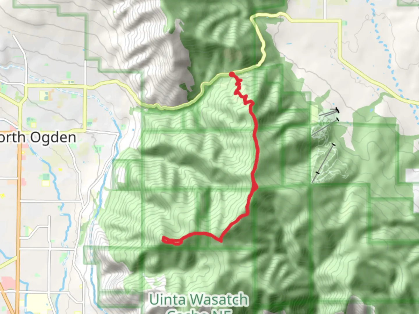
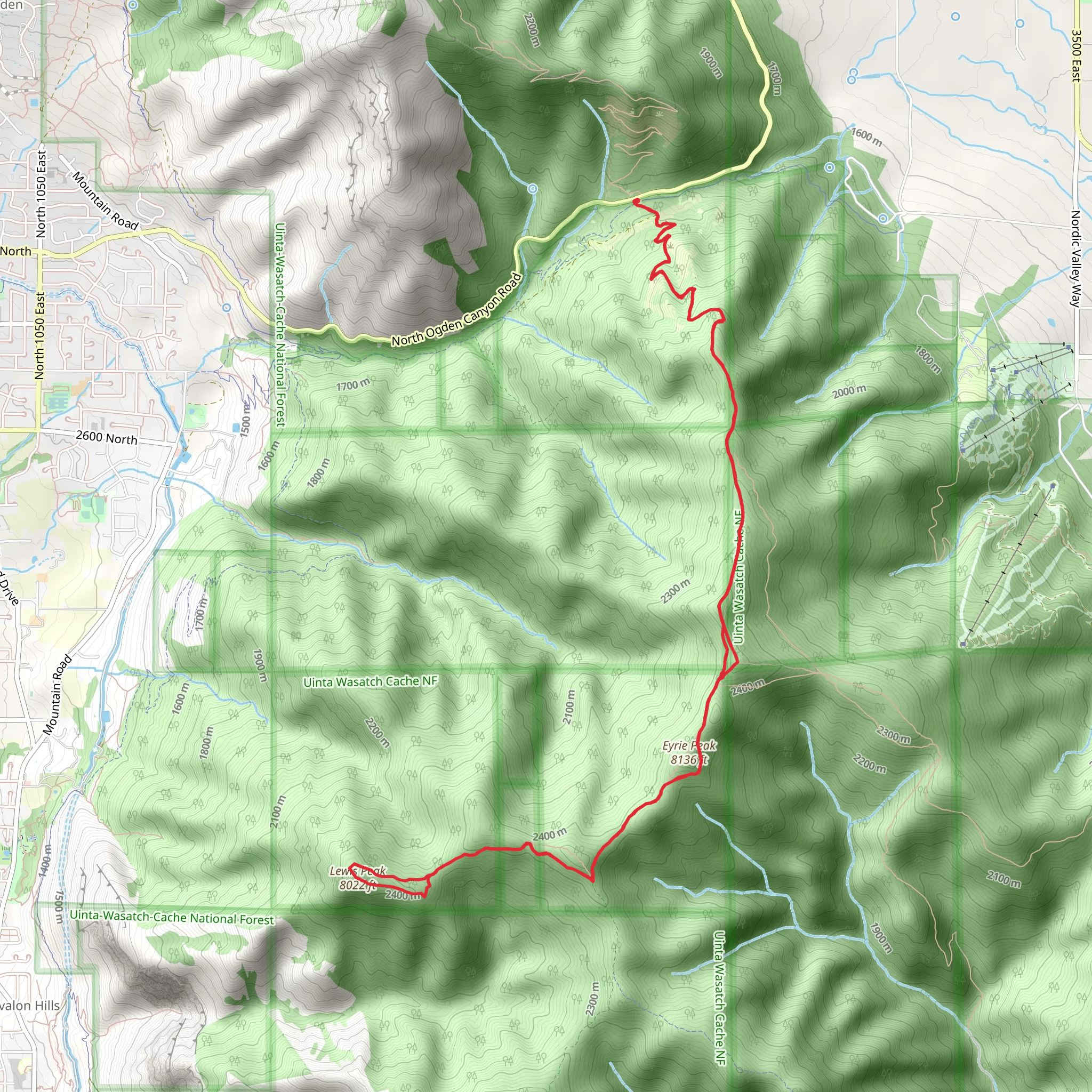
Starting your adventure near Weber County, Utah, the Eyrie Peak and Lewis Peak Trail offers a captivating 17 km (10.5 miles) loop with an elevation gain of approximately 1000 meters (3280 feet). This medium-difficulty trail is perfect for those looking to experience the beauty of the Wasatch Range without the extreme challenges of more strenuous hikes.
Getting There To reach the trailhead, you can drive or use public transportation. If driving, head towards North Ogden, Utah, and park near the North Ogden Divide Trailhead. For those using public transport, the nearest significant landmark is the North Ogden Divide, accessible via local bus services from Ogden city center.
Trail Overview The trail begins with a steady ascent through a mixed forest of pine and aspen, providing ample shade and a cool start to your hike. As you climb, you'll encounter several switchbacks that help to manage the elevation gain. After about 3 km (1.9 miles), the forest opens up, offering your first panoramic views of the Ogden Valley and the Great Salt Lake in the distance.
Key Landmarks and Sections #### Eyrie Peak At approximately 5 km (3.1 miles) into the hike, you'll reach Eyrie Peak. This section is marked by a rocky outcrop and offers stunning 360-degree views. It's a great spot to take a break and enjoy the scenery. The elevation gain to this point is around 600 meters (1968 feet).
#### Ridge Walk Continuing from Eyrie Peak, the trail follows a ridgeline for the next 4 km (2.5 miles). This section is relatively flat and provides breathtaking views of the surrounding peaks and valleys. Keep an eye out for wildlife; deer and various bird species are commonly spotted here.
#### Lewis Peak At around the 9 km (5.6 miles) mark, you'll begin your ascent to Lewis Peak. This climb is steeper than the initial ascent but shorter, with an elevation gain of about 400 meters (1312 feet). The summit of Lewis Peak offers another excellent vantage point, with views extending to the Uinta Mountains on a clear day.
Flora and Fauna The trail is rich in biodiversity. In the lower sections, you'll find a variety of wildflowers, especially in late spring and early summer. As you ascend, the flora transitions to hardy alpine species. Wildlife is abundant, with frequent sightings of mule deer, foxes, and a variety of bird species, including hawks and eagles.
Historical Significance The region has a rich history, with Native American tribes such as the Shoshone and Ute having inhabited the area for centuries. The trail itself was used by early settlers and fur trappers in the 19th century. Remnants of old cabins and mining equipment can occasionally be spotted off the main path, adding a historical dimension to your hike.
Navigation and Safety Given the trail's moderate difficulty, it's advisable to use a reliable navigation tool like HiiKER to stay on track. The trail is well-marked, but weather conditions can change rapidly, especially at higher elevations. Always carry sufficient water, snacks, and a first-aid kit. Trekking poles can be helpful for the steeper sections.
Completing the Loop The descent from Lewis Peak is gradual, taking you through a series of meadows and forested areas. The final 4 km (2.5 miles) of the trail loop back to the trailhead, offering a gentle downhill walk that allows you to cool down and reflect on the stunning landscapes you've traversed.
This trail offers a balanced mix of challenging climbs, rewarding views, and rich natural and historical elements, making it a must-visit for any hiking enthusiast.
What to expect?
Activity types
Comments and Reviews
User comments, reviews and discussions about the Eyrie Peak and Lewis Peak Trail, Utah.
4.55
average rating out of 5
22 rating(s)
