Download
Preview
Add to list
More
25.3 km
~1 day 2 hrs
1183 m
Out and Back
“Embark on a scenic, moderately challenging 25-kilometer hike from North Ogden Divide, rich in wildlife and history.”
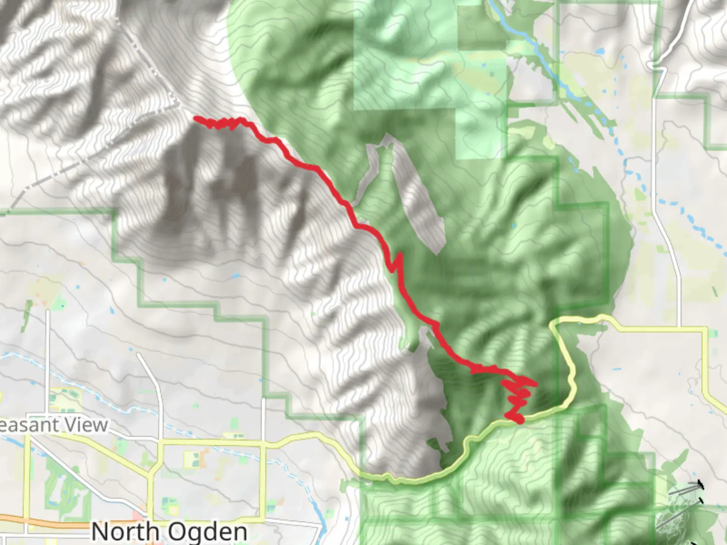
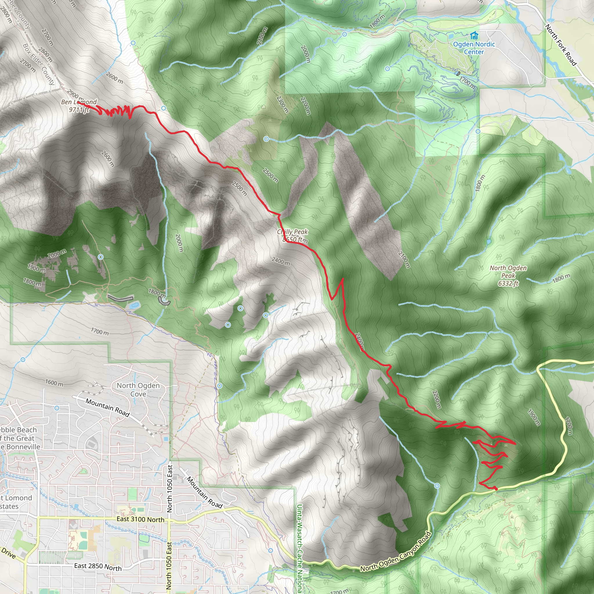
Starting your adventure near Weber County, Utah, the trailhead for this hike is conveniently located close to the North Ogden Divide. If you're driving, you can park at the North Ogden Divide Trailhead. For those relying on public transport, the nearest significant landmark is the North Ogden Park & Ride, from where you can arrange a taxi or rideshare to the trailhead.
The hike spans approximately 25 kilometers (15.5 miles) with an elevation gain of around 1100 meters (3600 feet). This out-and-back trail is rated as medium difficulty, making it suitable for moderately experienced hikers.
Initial Ascent and Terrain
Starting from the North Ogden Divide Trailhead, the initial section of the trail is a steady ascent through a mix of scrub oak and pine forest. The first 3 kilometers (1.9 miles) will see you gaining about 300 meters (984 feet) in elevation. The trail is well-marked, but it's advisable to use the HiiKER app for navigation to ensure you stay on track.
Mid-Trail Landmarks and Views
As you continue, the trail opens up to expansive meadows around the 5-kilometer (3.1-mile) mark. Here, you can catch your breath and take in panoramic views of the Ogden Valley and the Great Salt Lake in the distance. This section is relatively flat, offering a brief respite before the next climb.
Wildlife and Flora
The trail is rich in wildlife, including mule deer, wild turkeys, and occasionally, black bears. Keep an eye out for the diverse flora, especially during spring and early summer when wildflowers like lupine and Indian paintbrush are in full bloom.
Historical Significance
This region holds historical significance as it was once traversed by Native American tribes and later by early settlers. The trail itself follows parts of old routes used for cattle drives and logging in the late 19th and early 20th centuries.
Final Ascent to Chilly Peak and Ben Lomond
The final push to Chilly Peak involves a steep ascent over rocky terrain. This section is about 4 kilometers (2.5 miles) with an elevation gain of 400 meters (1312 feet). Once you reach Chilly Peak, you'll be rewarded with stunning 360-degree views. From here, it's another 2 kilometers (1.2 miles) to Ben Lomond, with a gentler incline.
Return Journey
The return journey follows the same path, offering a chance to revisit the scenic spots and perhaps catch different wildlife active at different times of the day. Make sure to pace yourself and stay hydrated, as the descent can be tough on the knees.
Preparation Tips
Given the elevation gain and distance, it's crucial to bring plenty of water, snacks, and layers of clothing to adapt to changing weather conditions. Trekking poles can be helpful for both the ascent and descent. Always check the weather forecast before heading out and let someone know your plans.
Using the HiiKER app will ensure you stay on the correct path and can provide real-time updates on your progress. Enjoy your hike and take in the natural beauty and historical richness of this remarkable trail.
What to expect?
Activity types
Comments and Reviews
User comments, reviews and discussions about the Chilly Peak and Ben Lomond via Skyline North Trailhead, Utah.
4.52
average rating out of 5
23 rating(s)
