Download
Preview
Add to list
More
17.6 km
~4 hrs 24 min
536 m
Loop
“Embark on the 18 km Scout Cave and Gila Trail loop for breathtaking views and historical wonders.”
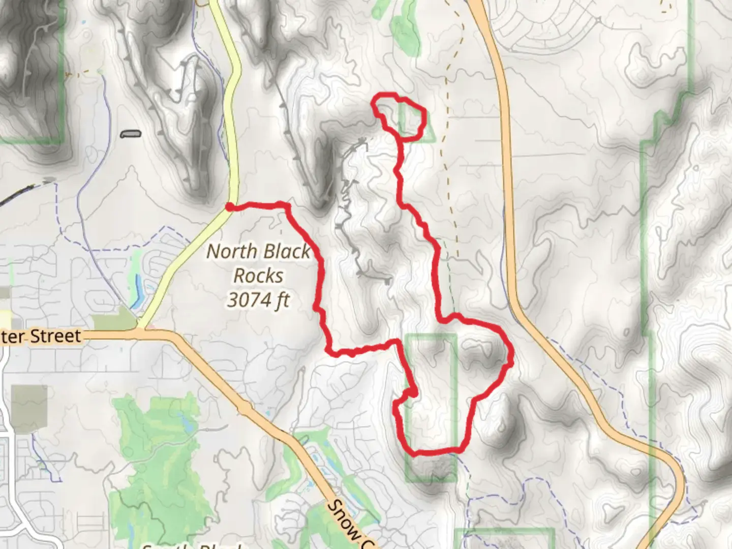
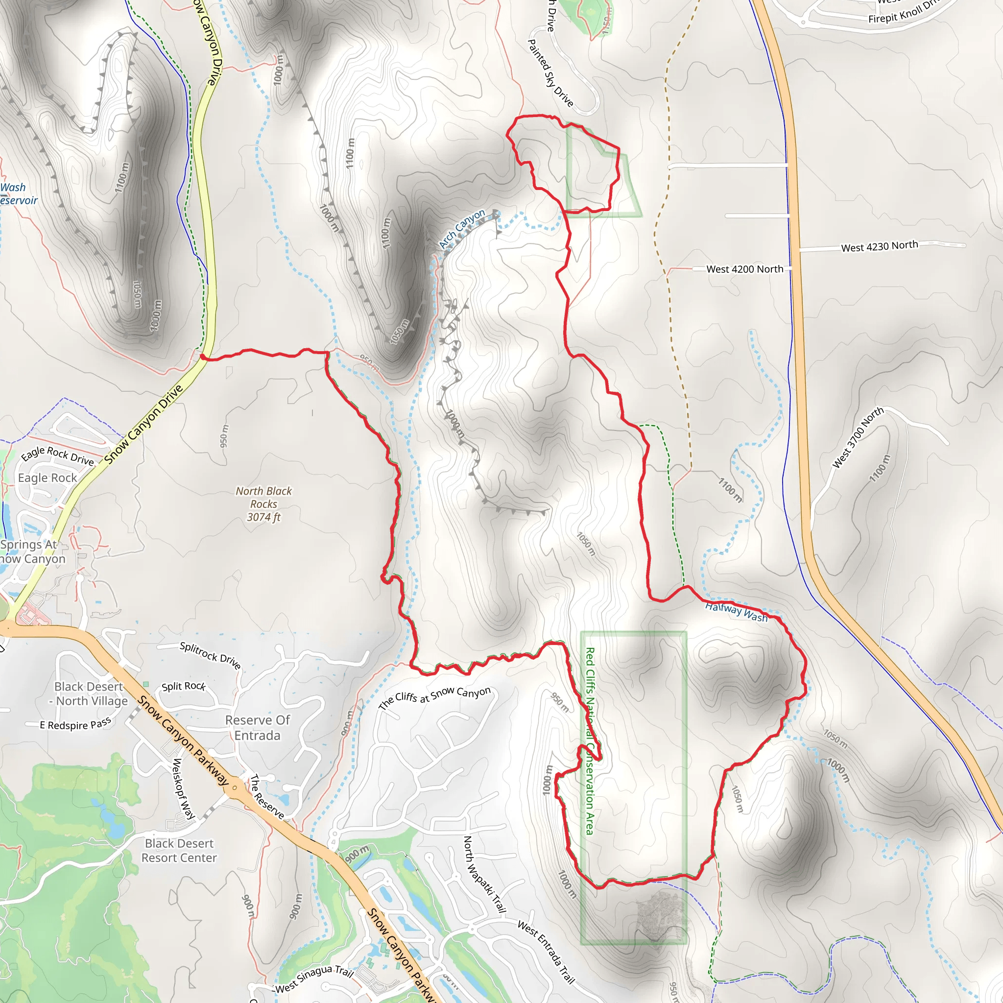
Starting near Washington County, Utah, the Scout Cave Trail and Gila Trail loop spans approximately 18 km (11 miles) with an elevation gain of around 500 meters (1,640 feet). This medium-difficulty trail offers a diverse hiking experience, blending natural beauty with historical significance.
Getting There To reach the trailhead, you can drive or use public transport. If driving, head towards the Red Cliffs Desert Reserve, located near the intersection of Red Hills Parkway and Cottonwood Springs Road. For those using public transport, the nearest bus stop is at the Red Cliffs Mall, from where you can take a short taxi ride to the trailhead.
Trail Overview The loop begins with a gentle ascent, gradually increasing in elevation as you make your way through the desert landscape. The first significant landmark is Scout Cave, located about 3 km (1.9 miles) from the trailhead. This natural cave offers a cool respite and a great spot for a break. The cave is named after the Boy Scouts who frequently explored the area in the early 20th century.
Flora and Fauna As you continue, you'll traverse through a variety of ecosystems. The lower elevations are dominated by desert flora such as sagebrush, yucca, and various cacti. As you gain elevation, you'll notice a shift to juniper and pinyon pine trees. Keep an eye out for wildlife; it's common to spot lizards, jackrabbits, and occasionally, desert tortoises.
Historical Significance The region holds historical significance, particularly for the Native American tribes who once inhabited the area. Petroglyphs can be found on some of the rock faces, offering a glimpse into the lives of the ancient peoples who lived here. These petroglyphs are located approximately 7 km (4.3 miles) into the hike, near the midpoint of the loop.
Navigation and Safety Given the trail's length and elevation gain, it's crucial to be well-prepared. Use the HiiKER app for accurate navigation and real-time updates on trail conditions. The trail is well-marked, but having a reliable navigation tool can be invaluable, especially in the more remote sections.
Scenic Views As you approach the higher elevations, the trail offers panoramic views of the surrounding desert and distant mountain ranges. The highest point of the trail, at around 9 km (5.6 miles), provides a breathtaking vantage point where you can see for miles in every direction.
Final Stretch The descent begins after the highest point, leading you back through a series of switchbacks. This section can be a bit challenging due to loose rocks, so take your time and watch your footing. The final 3 km (1.9 miles) of the trail are relatively flat, making for a pleasant end to your hike.
Practical Tips - **Water:** Carry at least 3 liters (0.8 gallons) of water per person, as there are no water sources along the trail. - **Footwear:** Sturdy hiking boots are recommended due to the rocky terrain. - **Weather:** Check the weather forecast before you go. The desert can be extremely hot in summer and quite cold in winter. - **Permits:** No permits are required for this trail, but it's always good to check for any updates or restrictions.
This trail offers a rewarding experience for those prepared to tackle its challenges, providing a mix of natural beauty, historical intrigue, and physical exertion.
What to expect?
Activity types
Comments and Reviews
User comments, reviews and discussions about the Scout Cave Trail and Gila Trail, Utah.
4.53
average rating out of 5
17 rating(s)
