Download
Preview
Add to list
More
10.0 km
~2 hrs 27 min
274 m
Out and Back
“The Mustang Pass Trail in Utah offers a 10km hike through stunning landscapes, historical sites, and vibrant wildlife.”
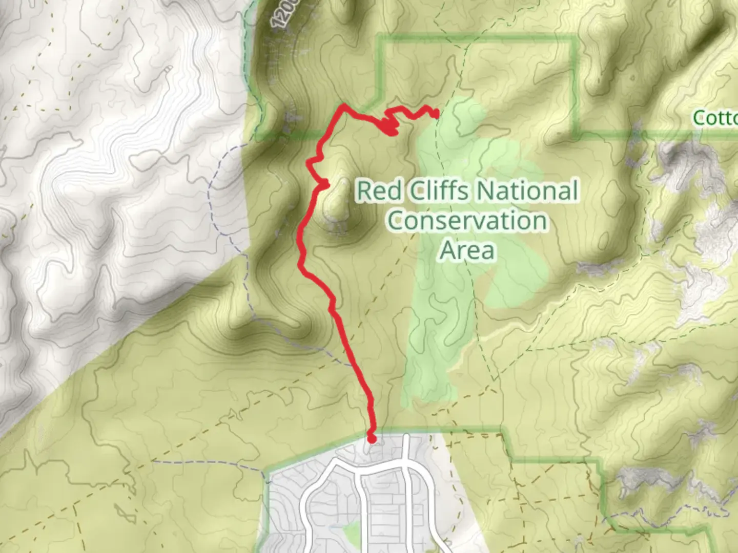
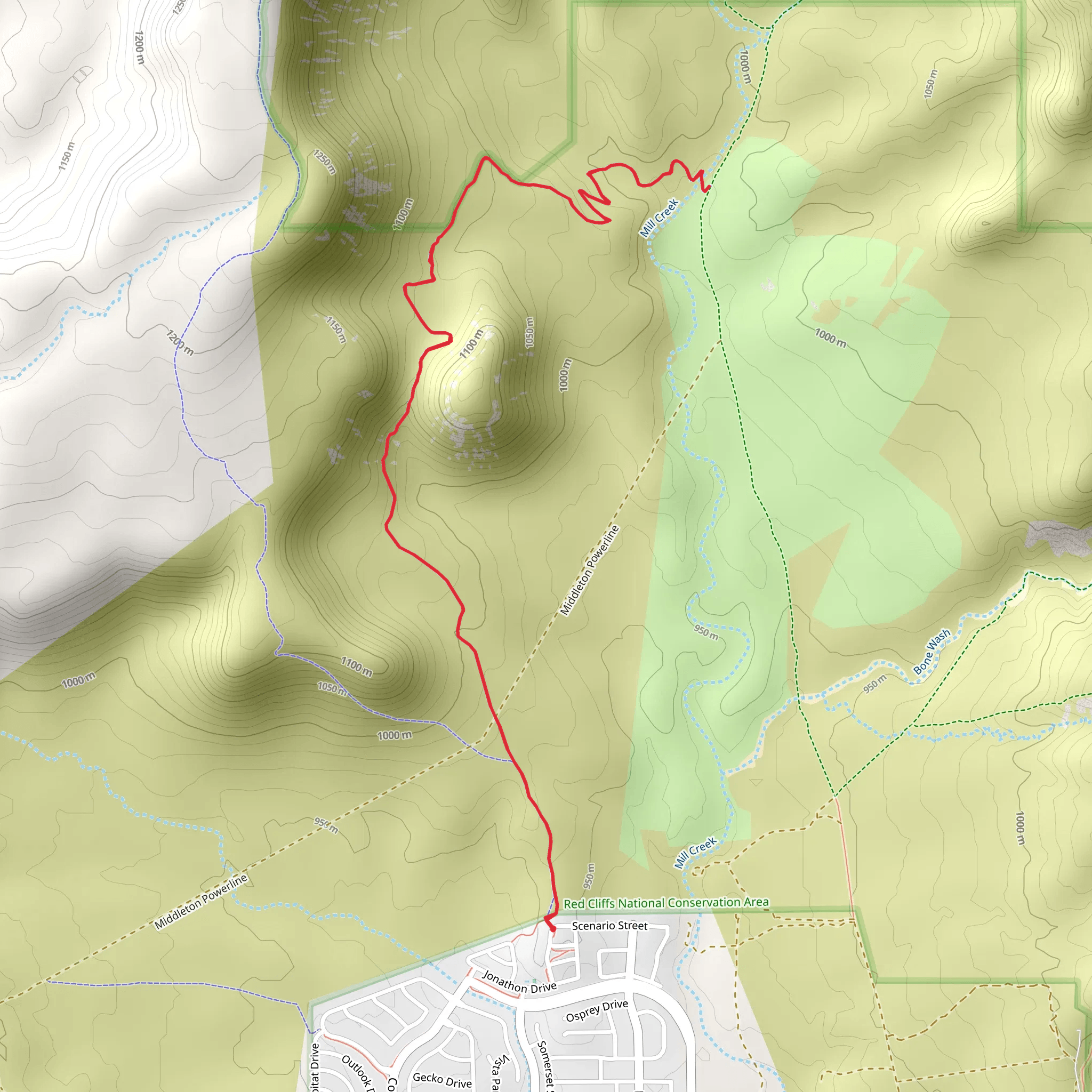
Starting near Washington County, Utah, the Mustang Pass Trail offers a rewarding out-and-back hike of approximately 10 km (6.2 miles) with an elevation gain of around 200 meters (656 feet). This medium-difficulty trail is perfect for those looking to experience the natural beauty and historical richness of the region.### Getting There To reach the trailhead, you can drive or use public transport. If driving, head towards Washington County, Utah, and look for the nearest known address or significant landmark, such as the Red Cliffs Desert Reserve. Public transport options may include local bus services that stop near the reserve, from where you can walk to the trailhead.### Trail Overview The Mustang Pass Trail begins with a gentle ascent, gradually increasing in elevation as you move deeper into the landscape. The initial part of the trail is relatively easy, making it accessible for hikers of varying skill levels. As you progress, the trail becomes more challenging, with steeper sections that require careful footing.### Landmarks and Points of Interest - Red Cliffs Desert Reserve: Located near the trailhead, this reserve is a protected area known for its stunning red rock formations and diverse wildlife. It's a great spot to explore before or after your hike. - Mustang Pass: About halfway through the trail, you'll reach Mustang Pass, a natural saddle offering panoramic views of the surrounding desert and mountains. This is a perfect spot for a rest and some photography. - Wildlife Viewing: Keep an eye out for local wildlife, including desert tortoises, lizards, and various bird species. Early morning or late afternoon hikes increase your chances of spotting these creatures.### Historical Significance The region around Mustang Pass has a rich history, with evidence of Native American habitation dating back thousands of years. Petroglyphs and ancient artifacts have been found in the area, offering a glimpse into the lives of the early inhabitants. The trail itself may have been used by Native American tribes as a route through the rugged terrain.### Navigation and Safety Using HiiKER for navigation is highly recommended. The app provides detailed maps and real-time updates, ensuring you stay on the correct path. Make sure to carry enough water, especially during the hotter months, as the desert environment can be unforgiving. Wear sturdy hiking boots and consider bringing trekking poles for the steeper sections.### Flora and Fauna The trail is lined with a variety of desert plants, including cacti, yucca, and sagebrush. During the spring, wildflowers bloom, adding vibrant colors to the landscape. The diverse plant life supports a range of animals, making the hike a dynamic and engaging experience.### Final Stretch As you approach the end of the trail, the descent back to the trailhead offers a different perspective of the landscape, with the setting sun casting long shadows and highlighting the rugged beauty of the area. The return journey is a great opportunity to reflect on the natural and historical wonders you've encountered.By preparing adequately and using reliable navigation tools like HiiKER, you can fully enjoy the Mustang Pass Trail and all it has to offer.
What to expect?
Activity types
Comments and Reviews
User comments, reviews and discussions about the Mustang Pass Trail, Utah.
4.53
average rating out of 5
15 rating(s)
