Download
Preview
Add to list
More
13.1 km
~3 hrs 13 min
361 m
Loop
“Embark on the Grapevine Trail and Bracken's Loop for scenic vistas, historical landmarks, and diverse wildlife.”
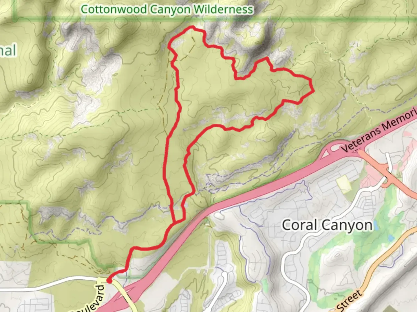
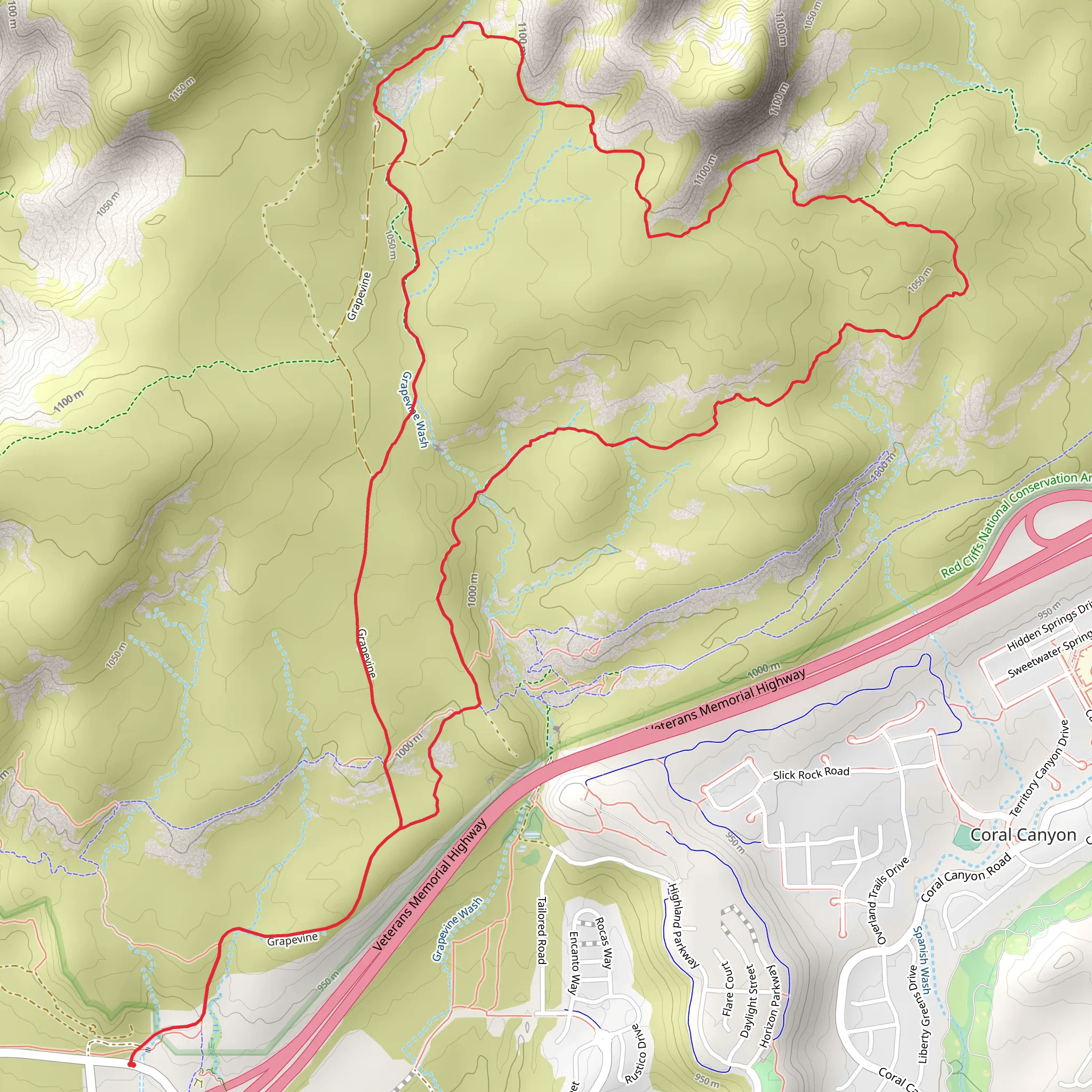
Starting near Washington County, Utah, the Grapevine Trail and Bracken's Loop is a captivating 13 km (8 miles) loop trail with an elevation gain of approximately 300 meters (984 feet). This medium-difficulty trail offers a diverse range of experiences, from scenic vistas to rich historical landmarks.### Getting There To reach the trailhead, you can drive or use public transport. If driving, head towards the Red Cliffs Desert Reserve, located near the town of Leeds, Utah. The nearest significant landmark is the Red Cliffs Recreation Area. For those using public transport, the closest major transit hub is in St. George, Utah. From St. George, you can take a local bus or arrange for a shuttle service to the Red Cliffs Desert Reserve.### Trail Navigation Using HiiKER for navigation is highly recommended, as the trail can have some confusing junctions. The app will help you stay on track and provide real-time updates on your progress.### Trail Highlights The trail begins with a gentle ascent through a landscape dotted with juniper and pinyon pine trees. After about 2 km (1.2 miles), you'll reach a plateau offering panoramic views of the surrounding desert and distant mountain ranges. This is a great spot for a quick rest and some photos.### Flora and Fauna As you continue, keep an eye out for the diverse flora and fauna. The area is home to various species of lizards, birds, and small mammals. In the spring, the trail is adorned with wildflowers like Indian paintbrush and desert marigold, adding vibrant splashes of color to the arid landscape.### Historical Significance Around the 5 km (3.1 miles) mark, you'll come across remnants of ancient Native American petroglyphs etched into the rock faces. These petroglyphs offer a glimpse into the rich cultural history of the region, dating back thousands of years. Take a moment to appreciate these historical artifacts, but remember to respect and preserve them for future generations.### Midpoint and Elevation Gain At approximately 6.5 km (4 miles), you'll reach the highest point of the trail, with an elevation gain of about 300 meters (984 feet). From here, you can enjoy sweeping views of the Red Cliffs Desert Reserve and the Pine Valley Mountains in the distance. This is an ideal spot for a longer break and perhaps a picnic.### Descending and Loop Completion The descent begins gradually, winding through a series of switchbacks. As you make your way down, you'll pass through a shaded canyon with a small seasonal stream. This part of the trail is particularly refreshing during the hotter months. ### Final Stretch The last 2 km (1.2 miles) of the trail loop back towards the trailhead, offering a relatively flat and easy walk. Along this stretch, you'll pass through open meadows and see more of the region's unique geological formations, including red sandstone cliffs and interesting rock outcrops.### Practical Tips - Water: Ensure you carry enough water, especially during the summer months, as the desert heat can be intense. - Footwear: Sturdy hiking boots are recommended due to the rocky and uneven terrain. - Weather: Check the weather forecast before you go. The trail can be extremely hot in summer and occasionally snowy in winter. - Wildlife: Be cautious of rattlesnakes, especially in warmer weather. They are generally not aggressive but should be given a wide berth.This trail offers a well-rounded hiking experience with its mix of natural beauty, historical significance, and moderate physical challenge.
What to expect?
Activity types
Comments and Reviews
User comments, reviews and discussions about the Grapevine Trail and Bracken's Loop, Utah.
4.54
average rating out of 5
13 rating(s)
