Download
Preview
Add to list
More
27.7 km
~1 day 3 hrs
1644 m
Out and Back
“The Cottonwood Harmon Trail offers a scenic 28-km hike with diverse landscapes and rich historical significance.”
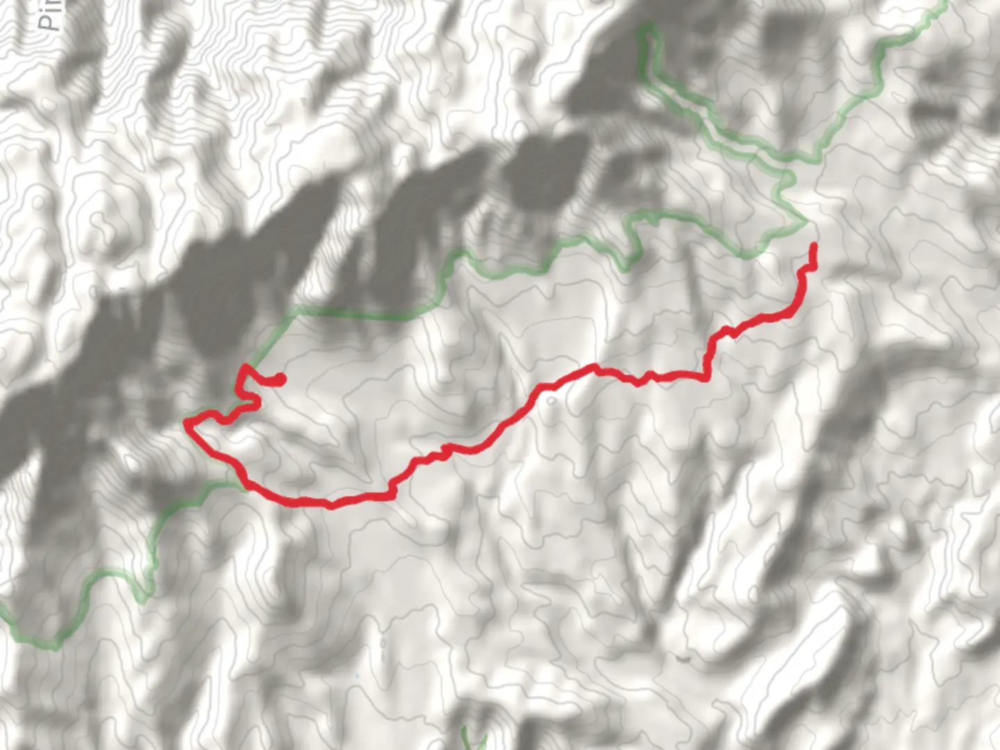
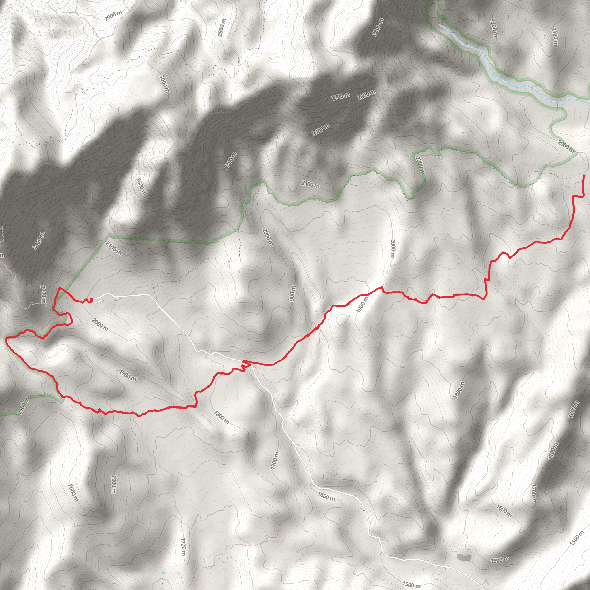
Starting near Washington County, Utah, the Cottonwood Harmon Trail is an out-and-back trail that spans approximately 28 kilometers (17.4 miles) with an elevation gain of around 1600 meters (5,249 feet). This trail is rated as medium difficulty, making it suitable for hikers with some experience.### Getting There To reach the trailhead, you can drive or use public transport. If driving, head towards Washington County, Utah, and look for the nearest significant landmark, which is the Red Cliffs Desert Reserve. For those using public transport, the nearest bus stop is in St. George, Utah. From there, you can take a taxi or rideshare service to the trailhead.### Trail Overview The Cottonwood Harmon Trail offers a diverse range of landscapes, from desert terrain to lush forested areas. The trail begins with a gentle ascent, allowing hikers to warm up before tackling the more challenging sections. As you progress, the elevation gain becomes more noticeable, especially around the 10-kilometer (6.2-mile) mark, where the trail starts to climb more steeply.### Significant Landmarks and Nature One of the first significant landmarks you'll encounter is the Cottonwood Canyon, approximately 5 kilometers (3.1 miles) into the hike. This canyon is known for its stunning rock formations and is a great spot for photography. As you continue, you'll pass through areas rich in native flora, including juniper and pinyon pine trees.Around the 15-kilometer (9.3-mile) mark, you'll reach the Harmon Spring, a natural water source that has historically been a vital resource for both wildlife and early settlers. This is a good spot to take a break and refill your water bottles. Keep an eye out for local wildlife, including mule deer, foxes, and a variety of bird species.### Historical Significance The region around the Cottonwood Harmon Trail has a rich history. The trail itself was used by Native American tribes for centuries before European settlers arrived. Evidence of their presence can still be seen in the form of petroglyphs and ancient artifacts. In the 19th century, the trail was part of a route used by pioneers and settlers moving westward.### Navigation and Safety Given the trail's length and elevation gain, it's crucial to be well-prepared. Make sure to bring plenty of water, snacks, and a first-aid kit. The trail is well-marked, but it's always a good idea to have a reliable navigation tool. HiiKER is an excellent app for this purpose, providing detailed maps and real-time updates.### Final Stretch The final stretch of the trail offers panoramic views of the surrounding landscape, making the challenging ascent worthwhile. As you reach the turnaround point, take a moment to enjoy the scenery before beginning your descent back to the trailhead.This trail offers a rewarding experience for those willing to take on its challenges, providing a mix of natural beauty, historical significance, and physical exertion.
What to expect?
Activity types
Comments and Reviews
User comments, reviews and discussions about the Cottonwood Harmon Trail, Utah.
4.6
average rating out of 5
10 rating(s)
