Download
Preview
Add to list
More
36.9 km
~1 day 4 hrs
1267 m
Loop
“Discover the Coyote Loop: a 37 km trail in Utah blending scenic beauty, history, and moderate challenge.”
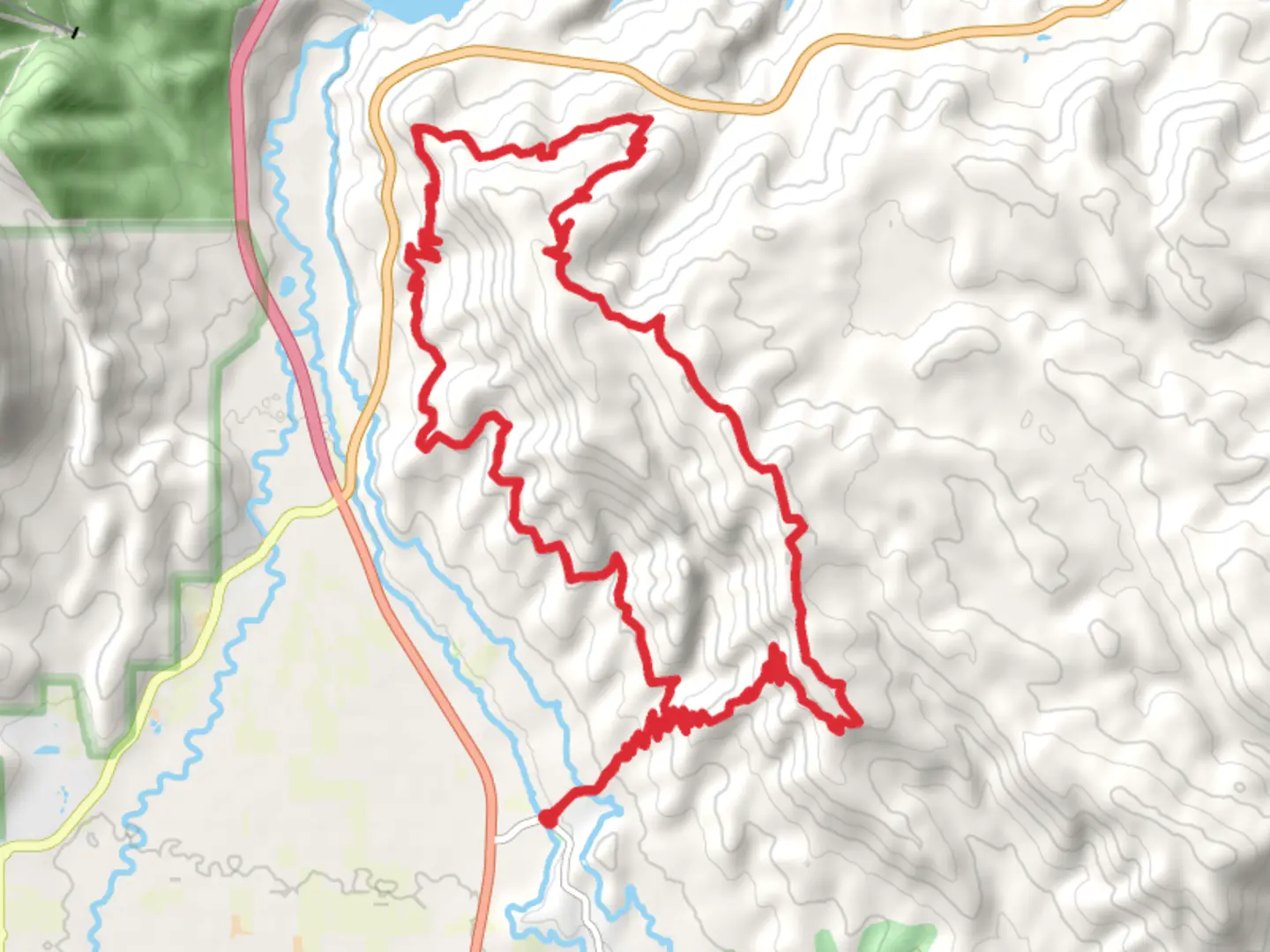
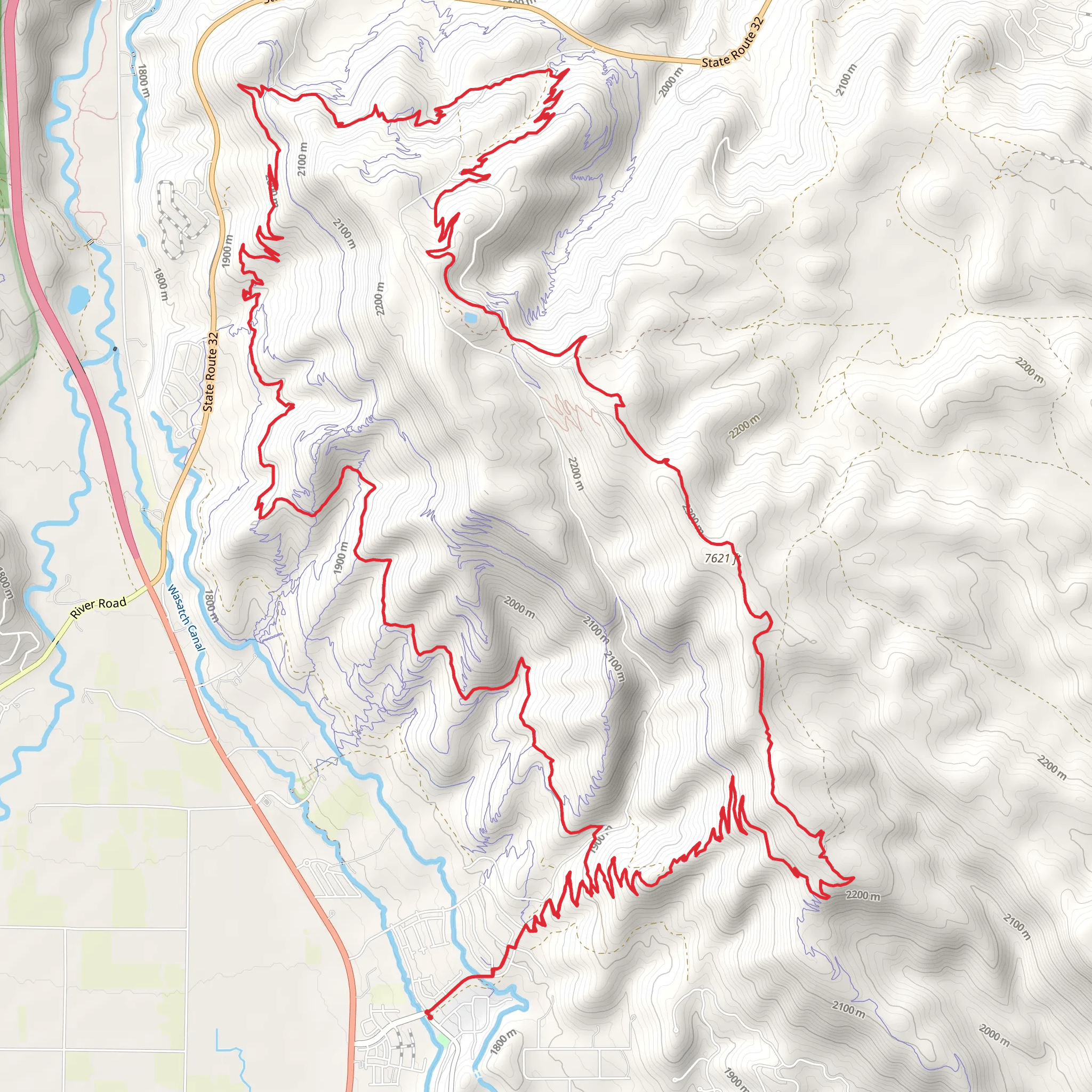
Starting near Wasatch County, Utah, the Coyote Loop is a captivating 37 km (23 miles) trail with an elevation gain of approximately 1200 meters (3937 feet). This loop trail offers a medium difficulty rating, making it suitable for moderately experienced hikers looking for a rewarding adventure.
Getting There To reach the trailhead, you can drive or use public transportation. If driving, head towards Wasatch County and look for parking near the Jordanelle State Park, which is the closest significant landmark. For those using public transport, the nearest major city is Salt Lake City. From there, you can take a bus or shuttle service to Heber City, and then a local taxi or rideshare to Jordanelle State Park.
Trail Overview The Coyote Loop is a well-marked trail that takes you through diverse landscapes, including dense forests, open meadows, and rugged mountain terrain. The trail is a loop, so you will end up back at your starting point, making logistics simpler.
Key Sections and Landmarks - **First 5 km (3.1 miles):** The initial section of the trail is relatively gentle, with a gradual ascent through a mixed forest of aspen and pine. Keep an eye out for deer and wild turkeys, which are commonly seen in this area. - **5 to 15 km (3.1 to 9.3 miles):** As you continue, the trail becomes steeper, gaining significant elevation. This section offers stunning views of the Wasatch Mountains and the Jordanelle Reservoir. Around the 10 km (6.2 miles) mark, you'll come across a scenic overlook that's perfect for a short break and some photos. - **15 to 25 km (9.3 to 15.5 miles):** This middle section is the most challenging part of the hike, with steep inclines and rocky terrain. The trail winds through high alpine meadows, where you might spot marmots and eagles. Be cautious of loose rocks and ensure you have good hiking boots for this part. - **25 to 37 km (15.5 to 23 miles):** The final stretch of the trail descends back towards the trailhead. This section is less strenuous but still requires careful footing. You'll pass through more forested areas and might encounter streams and small waterfalls, especially in the spring and early summer.
Historical Significance The region around the Coyote Loop has a rich history. It was originally inhabited by the Ute Native American tribe, who used the area for hunting and gathering. In the 19th century, European settlers arrived, and the area became known for its mining activities. Remnants of old mining equipment and cabins can still be seen along the trail, adding a historical dimension to your hike.
Navigation and Safety For navigation, it's highly recommended to use the HiiKER app, which provides detailed maps and real-time updates. Make sure to download the trail map before you start, as cell service can be spotty in some areas. Always carry enough water, snacks, and a first-aid kit. Weather can change rapidly in the mountains, so bring layers and be prepared for sudden rain or temperature drops.
Flora and Fauna The Coyote Loop is home to a variety of plant and animal species. In the spring and summer, wildflowers like lupine and Indian paintbrush bloom along the trail. Wildlife is abundant, and you might see elk, black bears, and a variety of bird species. Always maintain a safe distance from wildlife and follow Leave No Trace principles to preserve the natural beauty of the area.
This trail offers a mix of natural beauty, historical intrigue, and physical challenge, making it a memorable experience for any hiker.
What to expect?
Activity types
Comments and Reviews
User comments, reviews and discussions about the Coyote Loop, Utah.
4.6
average rating out of 5
15 rating(s)
