Download
Preview
Add to list
More
12.9 km
~4 hrs 14 min
1005 m
Loop
“Slide Canyon Trail and Kyhv Peak Loop offers breathtaking views, diverse wildlife, and historical intrigue for experienced hikers.”
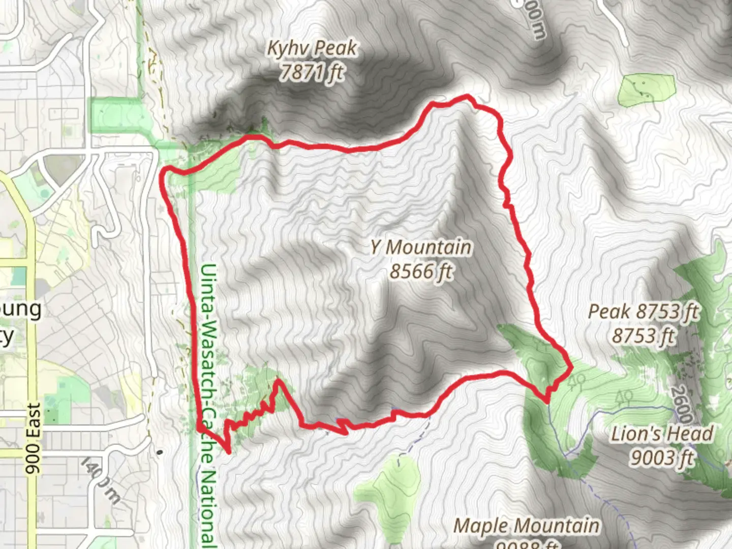
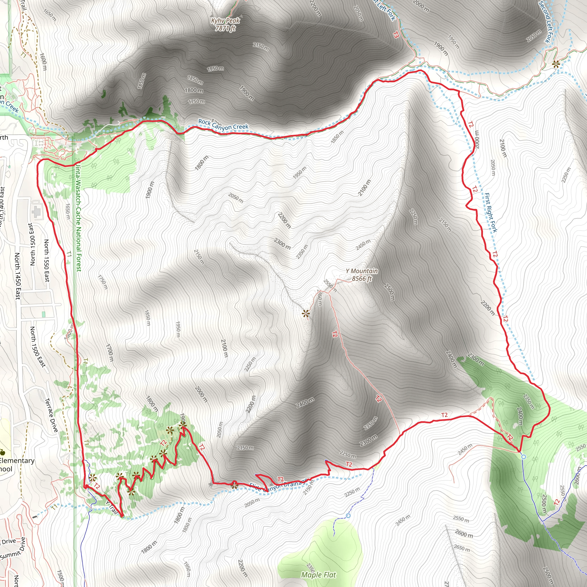
Starting near Utah County, Utah, the Slide Canyon Trail and Kyhv Peak Loop is a captivating 13 km (8 miles) loop trail with an elevation gain of approximately 1000 meters (3280 feet). This trail is rated as medium difficulty, making it suitable for moderately experienced hikers looking for a rewarding challenge.### Getting There To reach the trailhead, you can drive or use public transportation. If driving, head towards Provo, Utah, and navigate to the Rock Canyon Trailhead, located near the intersection of E 2300 N and N 1450 E. For those using public transport, take a bus to the Provo Central Station and then a local taxi or rideshare service to the trailhead.### Trail Overview The trail begins with a steady ascent through Slide Canyon, where you'll be greeted by lush vegetation and the soothing sounds of a nearby creek. The initial 2 km (1.2 miles) are relatively gentle, with an elevation gain of about 200 meters (656 feet), making it a good warm-up for the more strenuous sections ahead.### Significant Landmarks and Nature As you continue, the trail becomes steeper, climbing another 400 meters (1312 feet) over the next 3 km (1.9 miles). This section offers stunning views of the surrounding Wasatch Range and the Utah Valley below. Keep an eye out for the diverse flora, including wildflowers in the spring and summer months, and the occasional mule deer or mountain goat.### Kyhv Peak Around the 5 km (3.1 miles) mark, you'll reach a junction where the trail splits. Take the path leading to Kyhv Peak, which involves a steep climb of about 300 meters (984 feet) over 1.5 km (0.9 miles). The summit of Kyhv Peak offers panoramic views that are well worth the effort. On a clear day, you can see as far as the Great Salt Lake to the northwest and Mount Timpanogos to the northeast.### Historical Significance The region around Kyhv Peak has historical significance, with Native American tribes such as the Ute and Shoshone having inhabited the area for centuries. Artifacts and petroglyphs found in nearby canyons provide a glimpse into their rich cultural heritage.### Descent and Loop Completion After soaking in the views from Kyhv Peak, begin your descent along the loop trail. The next 4 km (2.5 miles) will take you through a series of switchbacks, dropping about 500 meters (1640 feet) in elevation. This section can be challenging, especially if the trail is wet or icy, so proceed with caution.### Wildlife and Final Stretch As you near the end of the loop, the trail levels out, and you'll pass through a serene forested area. This is a great spot to observe local bird species, including hawks and eagles. The final 2 km (1.2 miles) bring you back to the trailhead, completing the loop.### Navigation Tools For accurate navigation and to ensure you stay on track, use the HiiKER app, which provides detailed maps and real-time updates.This trail offers a mix of natural beauty, challenging terrain, and historical intrigue, making it a must-visit for any hiking enthusiast.
What to expect?
Activity types
Comments and Reviews
User comments, reviews and discussions about the Slide Canyon Trail and Kyhv Peak Loop, Utah.
4.53
average rating out of 5
17 rating(s)
