Download
Preview
Add to list
More
13.8 km
~4 hrs 44 min
1188 m
Loop
“Embark on a 14 km adventure through Slate Canyon's stunning landscapes and historical wonders in Utah.”
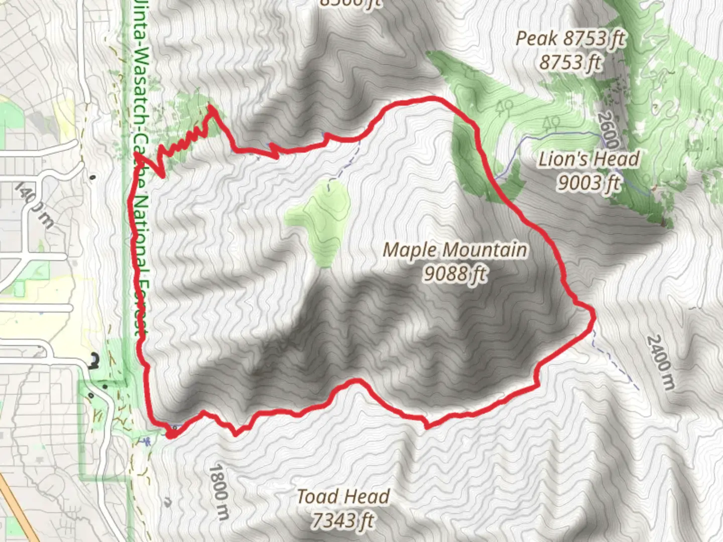
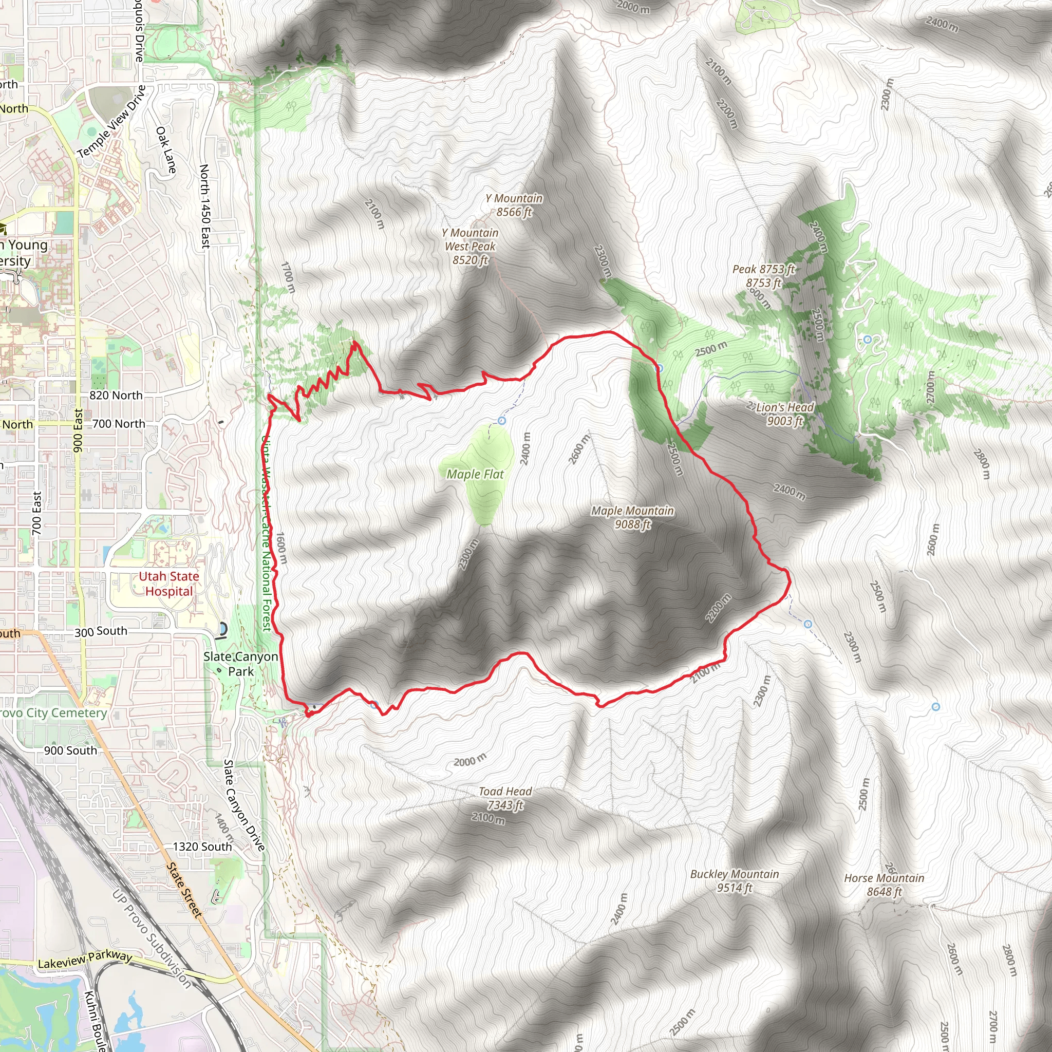
Starting your adventure near Utah County, Utah, the Slate Canyon Trail and Side Canyon Trail offer a challenging yet rewarding loop hike. This trail spans approximately 14 km (8.7 miles) with an elevation gain of around 1100 meters (3600 feet), making it a medium difficulty hike suitable for those with some experience.
Getting There To reach the trailhead, you can drive to Slate Canyon Park, located at the end of Slate Canyon Drive in Provo, Utah. If you prefer public transport, take a bus to the Provo Central Station and then a taxi or rideshare service to the park. The nearest significant landmark is the Provo City Center Temple, which is about a 15-minute drive from the trailhead.
Trail Overview The trail begins at Slate Canyon Park, where you’ll find parking and basic amenities. As you start your hike, the initial section is a steady ascent through a narrow canyon. The first 2 km (1.2 miles) will take you through a mix of scrub oak and maple trees, offering some shade and a gradual elevation gain of about 200 meters (650 feet).
Significant Landmarks and Nature Around the 3 km (1.9 miles) mark, you’ll encounter a fork in the trail. Taking the left path leads you up to the Side Canyon Trail. This section is steeper, with an elevation gain of approximately 300 meters (980 feet) over the next 2 km (1.2 miles). Here, the landscape opens up, providing stunning views of the surrounding mountains and valleys. Keep an eye out for mule deer and wild turkeys, which are commonly seen in this area.
Historical Significance As you ascend, you’ll pass through areas that were historically used by Native American tribes for hunting and gathering. The region is rich in history, and you might even spot some ancient petroglyphs etched into the rocks. These markings offer a glimpse into the lives of the indigenous people who once roamed these lands.
Reaching the Summit At around 6 km (3.7 miles), you’ll reach the highest point of the trail, with an elevation of approximately 2400 meters (7874 feet). From here, you can enjoy panoramic views of Utah Valley and the Wasatch Range. This is a great spot to take a break and soak in the scenery.
Descending Back The descent begins as you loop back towards Slate Canyon. The trail here is less steep but still requires careful footing, especially if the ground is wet. Over the next 4 km (2.5 miles), you’ll lose about 500 meters (1640 feet) in elevation. The path winds through a mix of open meadows and forested areas, offering a variety of flora and fauna to observe.
Final Stretch The last 2 km (1.2 miles) of the trail bring you back into the canyon, where the terrain becomes rockier. Watch out for loose stones and be prepared for a few small stream crossings, especially in the spring when snowmelt can make the water levels higher. The trail eventually leads you back to the trailhead at Slate Canyon Park.
Navigation Tools For navigation, it’s highly recommended to use HiiKER, which provides detailed maps and real-time updates on trail conditions. This will help ensure you stay on the right path and can make the most of your hiking experience.
This loop trail offers a mix of challenging climbs, breathtaking views, and a touch of historical intrigue, making it a must-visit for any hiking enthusiast.
What to expect?
Activity types
Comments and Reviews
User comments, reviews and discussions about the Slate Canyon Trail and Side Canyon Trail, Utah.
4.42
average rating out of 5
19 rating(s)
