Download
Preview
Add to list
More
12.1 km
~4 hrs 15 min
1104 m
Out and Back
“Experience the challenging yet rewarding Slate Canyon Trail, offering stunning views and rich history in Utah County.”
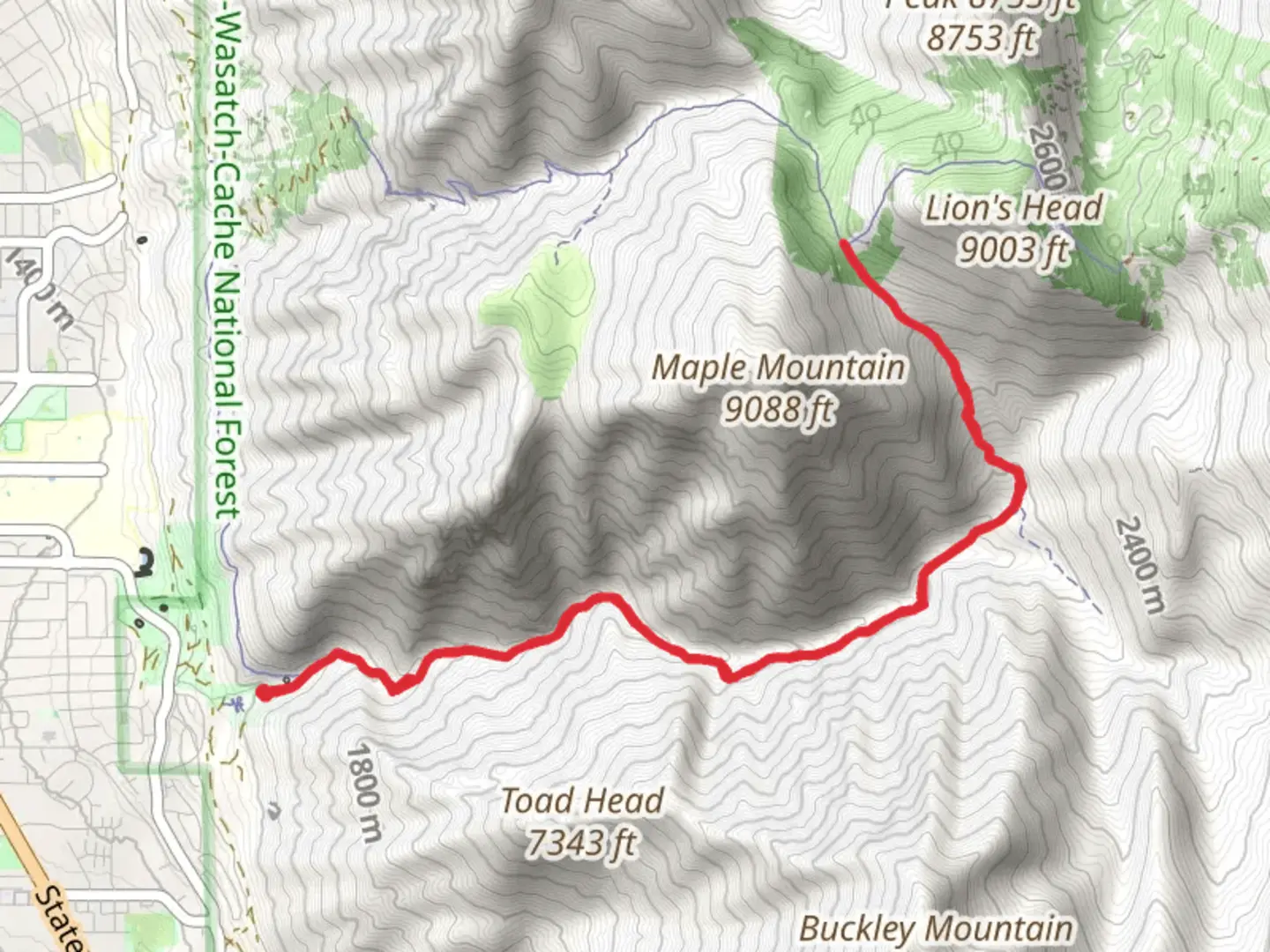
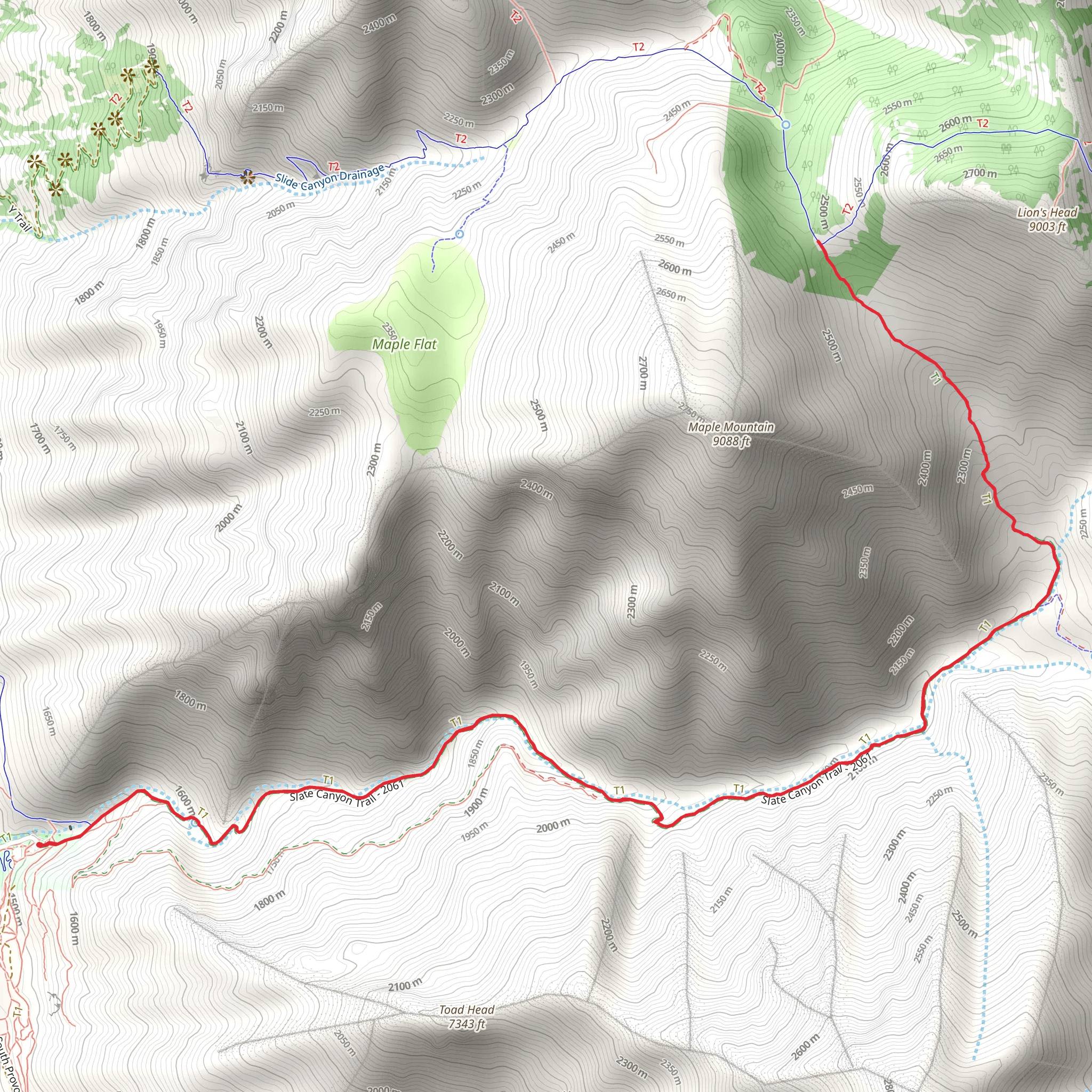
Starting your adventure near Utah County, Utah, the Slate Canyon Trail offers a challenging yet rewarding experience. This out-and-back trail spans approximately 12 kilometers (7.5 miles) with an elevation gain of around 1100 meters (3600 feet). The trailhead is conveniently located near Slate Canyon Park, making it accessible for those traveling by car or public transport.
Getting There If you're driving, head towards Slate Canyon Park, located at the end of Slate Canyon Drive in Provo, Utah. For those using public transport, the nearest bus stop is at the intersection of Slate Canyon Drive and 300 South, from where it's a short walk to the trailhead.
Trail Overview The trail begins with a moderate ascent through a shaded canyon, offering a mix of dirt paths and rocky terrain. Early on, you'll encounter a series of switchbacks that help you gain elevation quickly. As you climb, the vegetation transitions from scrub oak and maple trees to more sparse, alpine flora.
Significant Landmarks At approximately 3 kilometers (1.9 miles) into the hike, you'll reach a scenic overlook that provides stunning views of Utah Valley and Utah Lake. This is a great spot to take a break and hydrate. Continuing on, the trail becomes steeper and more rugged, requiring careful footing.
Wildlife and Nature The Slate Canyon area is home to a variety of wildlife, including mule deer, wild turkeys, and occasionally, black bears. Birdwatchers will also enjoy spotting species like the red-tailed hawk and the mountain bluebird. The flora is equally diverse, with wildflowers such as Indian paintbrush and lupine blooming in the spring and summer months.
Historical Significance Slate Canyon has a rich history, with evidence of Native American habitation dating back thousands of years. The canyon was also used by early Mormon settlers in the 19th century for grazing livestock and collecting slate, which was used in construction.
Navigation and Safety Given the elevation gain and rugged terrain, it's advisable to use a reliable navigation tool like HiiKER to stay on track. The trail is well-marked, but weather conditions can change rapidly, especially at higher elevations. Always check the weather forecast before heading out and be prepared for sudden changes.
Final Ascent The final stretch of the trail is the most challenging, with a steep climb that rewards you with panoramic views of the surrounding peaks and valleys. This section can be particularly strenuous, so take your time and ensure you have enough water and energy snacks.
Return Journey After reaching the summit, you'll retrace your steps back to the trailhead. The descent can be tough on the knees, so trekking poles can be helpful. As you make your way down, take the opportunity to enjoy the changing perspectives and perhaps spot some wildlife you missed on the ascent.
By the time you return to Slate Canyon Park, you'll have completed a demanding but incredibly scenic hike that showcases the natural beauty and historical richness of the Utah County region.
What to expect?
Activity types
Comments and Reviews
User comments, reviews and discussions about the Slate Canyon Trail, Utah.
4.59
average rating out of 5
17 rating(s)
