Download
Preview
Add to list
More
2.7 km
~47 min
147 m
Loop
“Explore Red Knoll Run's scenic 3 km loop, rich in natural beauty and historical significance.”
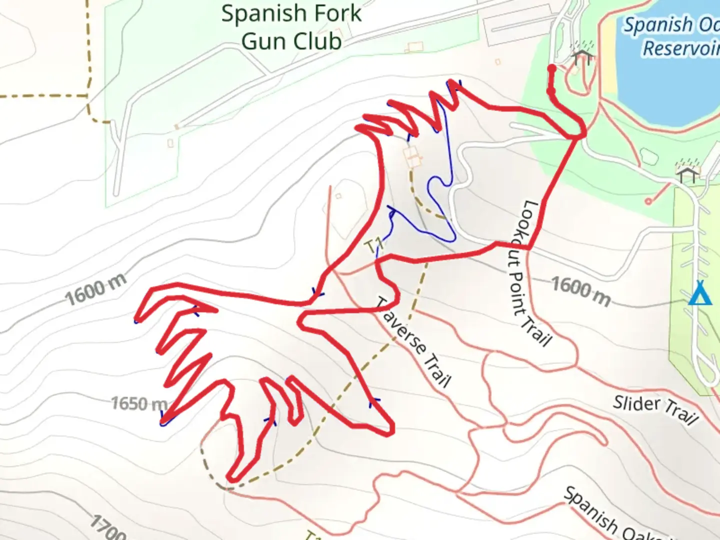
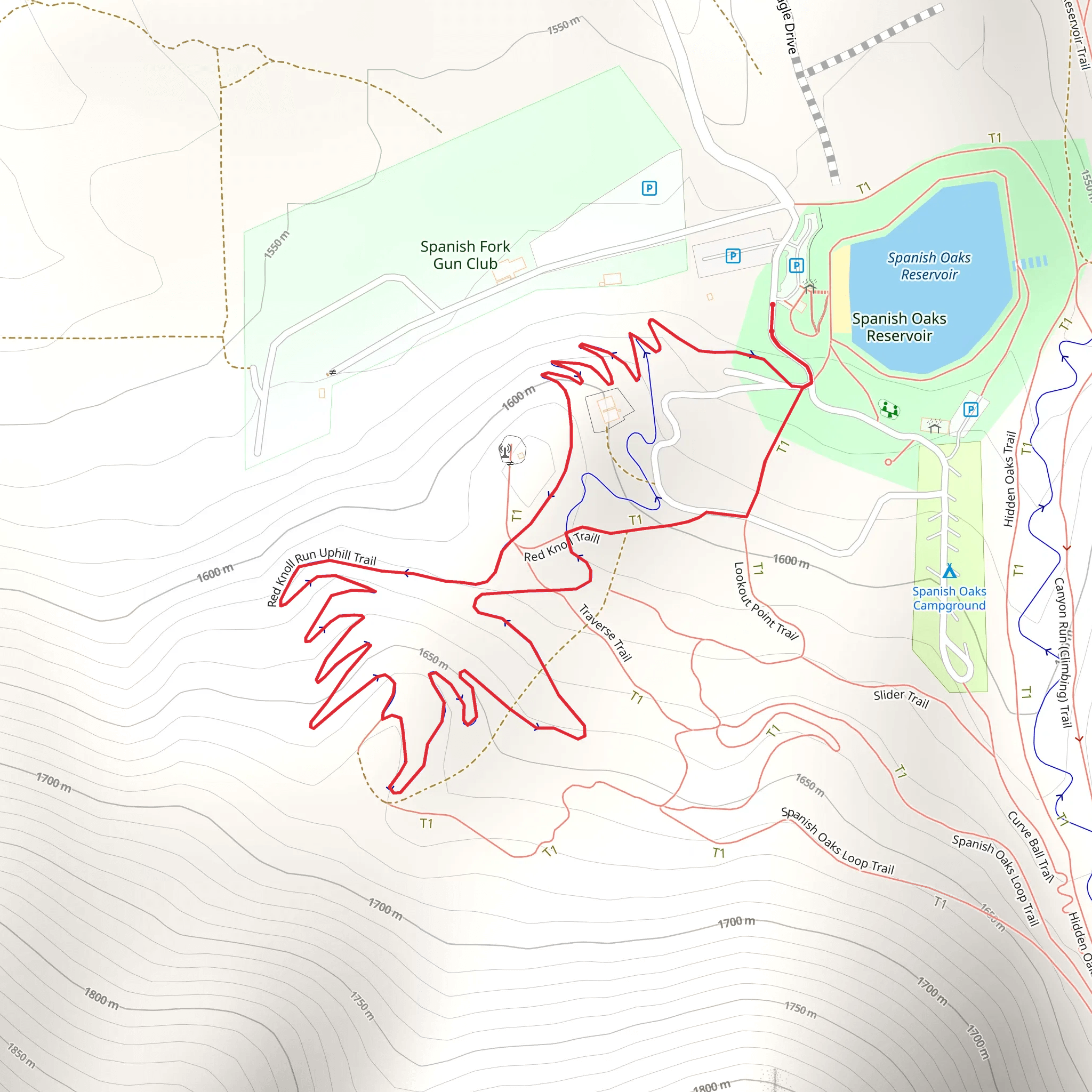
Nestled near Utah County, Utah, the Red Knoll Run Downhill and Uphill Trails form a scenic loop of approximately 3 km (1.86 miles) with an elevation gain of around 100 meters (328 feet). This medium-difficulty trail offers a rewarding experience for hikers looking to explore the natural beauty and historical significance of the region.
Getting There To reach the trailhead, you can drive or use public transport. If driving, head towards the nearest known landmark, the Provo Canyon Scenic Byway. From there, follow the signs to the trailhead parking area. For those using public transport, take a bus to the Provo Canyon Scenic Byway stop and then walk to the trailhead.
Trail Overview Starting at the trailhead, the loop can be tackled in either direction. The downhill section offers a gentle descent, making it a great warm-up. As you begin, you'll notice the trail winding through a mix of pine and juniper trees, providing ample shade and a serene atmosphere. The first 1 km (0.62 miles) of the trail descends gradually, with an elevation drop of about 50 meters (164 feet).
Landmarks and Nature Around the 1.5 km (0.93 miles) mark, you'll come across a small, picturesque creek. This is an excellent spot to take a break and enjoy the sounds of flowing water. Keep an eye out for local wildlife, including mule deer and various bird species. The area is also rich in wildflowers during the spring and summer months, adding vibrant colors to your hike.
Historical Significance The region around Red Knoll Run has a rich history. It was once traversed by Native American tribes and later by early settlers. You might notice remnants of old trails and markers that hint at its historical importance. The trail itself offers a glimpse into the past, with some sections following ancient paths used for centuries.
Uphill Section The uphill section of the trail begins after you cross the creek. This part of the hike is more challenging, with a steady ascent of about 50 meters (164 feet) over the next 1.5 km (0.93 miles). The trail here is well-marked but can be rocky in places, so sturdy footwear is recommended. As you climb, you'll be rewarded with stunning views of the surrounding landscape, including distant mountain ranges and lush valleys.
Navigation and Safety For navigation, it's advisable to use the HiiKER app, which provides detailed maps and real-time updates. The trail is generally well-marked, but having a reliable navigation tool can enhance your hiking experience and ensure you stay on track.
Final Stretch As you near the end of the loop, the trail levels out, offering a gentle walk back to the trailhead. This final stretch is a great opportunity to reflect on the natural beauty and historical richness of the area. The entire loop takes about 1.5 to 2 hours to complete, depending on your pace and the number of stops you make along the way.
Whether you're a seasoned hiker or a beginner looking for a moderate challenge, the Red Knoll Run Downhill and Uphill Trails offer a memorable outdoor adventure.
What to expect?
Activity types
Comments and Reviews
User comments, reviews and discussions about the Red Knoll Run Downhill Trail and Red Knoll Run Uphill Trail, Utah.
4.42
average rating out of 5
19 rating(s)
