Download
Preview
Add to list
More
24.4 km
~1 day 0 hrs
349 m
Point-to-Point
“The Provo River Parkway offers stunning views, iconic landmarks, and moderate hiking through Utah's scenic Provo Canyon.”
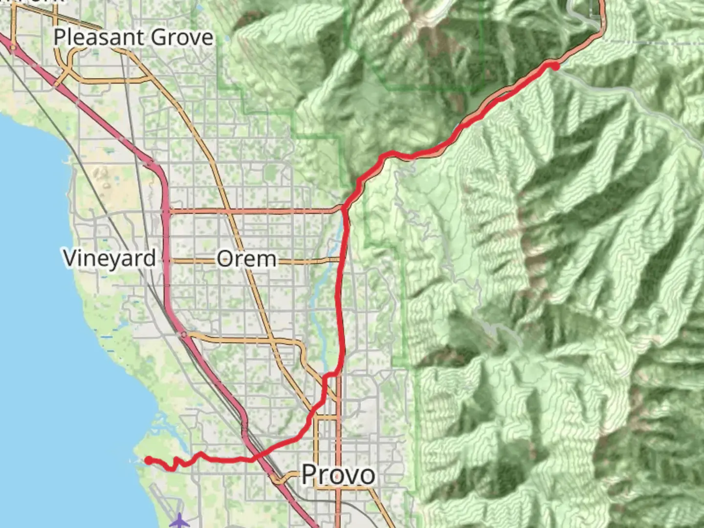
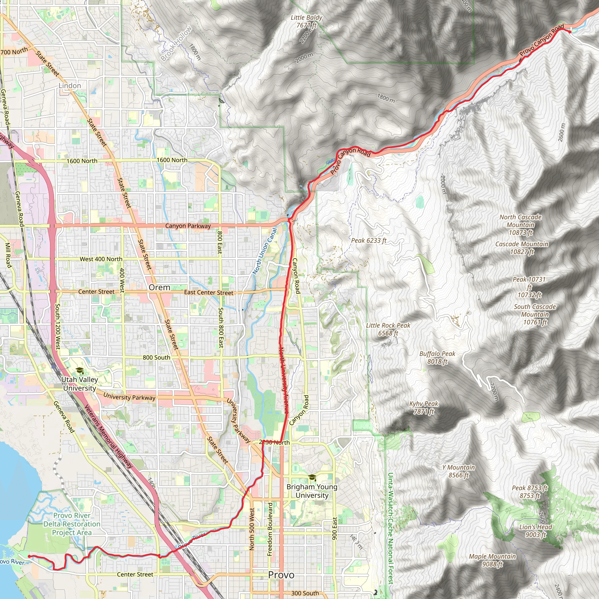
Starting near Utah County, Utah, the Provo River Parkway stretches approximately 24 kilometers (15 miles) with an elevation gain of around 300 meters (984 feet). This point-to-point trail is estimated to be of medium difficulty, making it accessible for most hikers with a moderate level of fitness.
Getting There To reach the trailhead, you can drive or use public transportation. If driving, head towards the Provo Canyon area, where parking is available near Vivian Park. For those using public transport, the Utah Transit Authority (UTA) offers bus services that can drop you off near the trailhead. Check the UTA schedule for the most convenient route.
Trail Overview The Provo River Parkway is a scenic trail that follows the Provo River, offering stunning views of the surrounding mountains and lush greenery. The trail is well-maintained and mostly paved, making it suitable for both hiking and biking.
Key Landmarks and Sections - **Vivian Park (0 km / 0 miles):** The trail begins at Vivian Park, a popular spot for picnicking and fishing. The park is well-equipped with restrooms and picnic tables, making it a great place to start your journey. - **Provo River (0-8 km / 0-5 miles):** As you follow the river, you'll pass through dense forests and open meadows. Keep an eye out for local wildlife such as deer, beavers, and various bird species. - **Bridal Veil Falls (8 km / 5 miles):** One of the most iconic landmarks along the trail, Bridal Veil Falls is a must-see. The waterfall cascades down from a height of 185 meters (607 feet) and is easily accessible from the trail. There are viewing platforms and a small picnic area nearby. - **Canyon Glen Park (12 km / 7.5 miles):** About halfway through the trail, you'll come across Canyon Glen Park. This is another excellent spot for a break, with amenities like restrooms, picnic tables, and a playground. - **Nunns Park (16 km / 10 miles):** Continuing along the trail, you'll reach Nunns Park, which offers more picnic areas and restrooms. This park is named after the Nunns family, early settlers in the area who contributed to the development of Provo Canyon. - **Provo River Trailhead (24 km / 15 miles):** The trail concludes near Utah Lake State Park, where the Provo River meets Utah Lake. This area is perfect for fishing, boating, and bird-watching.
Historical Significance Provo Canyon has a rich history, dating back to the early Native American tribes who first inhabited the region. Later, it became a crucial route for pioneers and settlers moving westward. The canyon was also the site of early hydroelectric projects, which played a significant role in the development of Utah County.
Navigation and Safety For navigation, it's recommended to use the HiiKER app, which provides detailed maps and real-time updates. The trail is well-marked, but having a reliable navigation tool can enhance your hiking experience. Always carry sufficient water, snacks, and a first-aid kit. Weather can change rapidly in the canyon, so be prepared for varying conditions.
Wildlife and Nature The Provo River Parkway is home to diverse flora and fauna. Depending on the season, you may encounter wildflowers, lush greenery, and a variety of wildlife. Be respectful of the natural habitat and maintain a safe distance from any animals you encounter.
This trail offers a blend of natural beauty, historical landmarks, and recreational opportunities, making it a rewarding experience for hikers of all levels.
What to expect?
Activity types
Comments and Reviews
User comments, reviews and discussions about the Provo River Parkway, Utah.
4.41
average rating out of 5
17 rating(s)
